Hjörleifshöfðasandur BeachIceland Beach Guide
Black sand, Viking mesa, and zero company
About
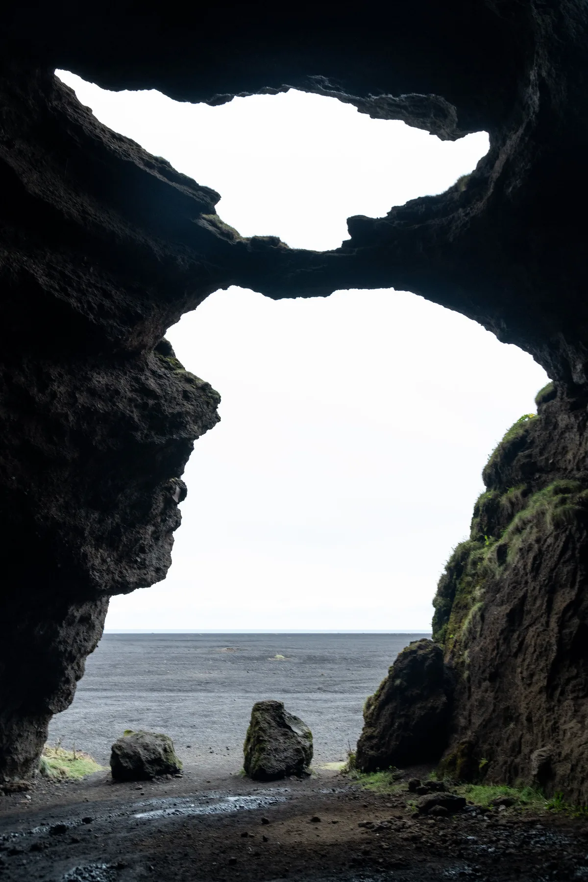
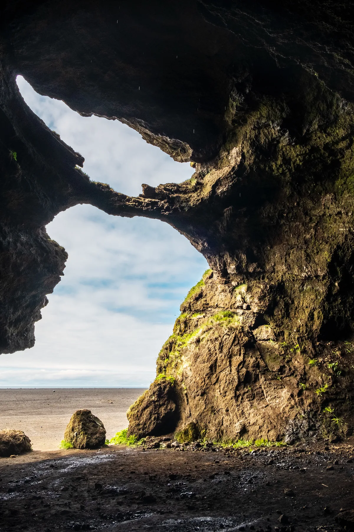
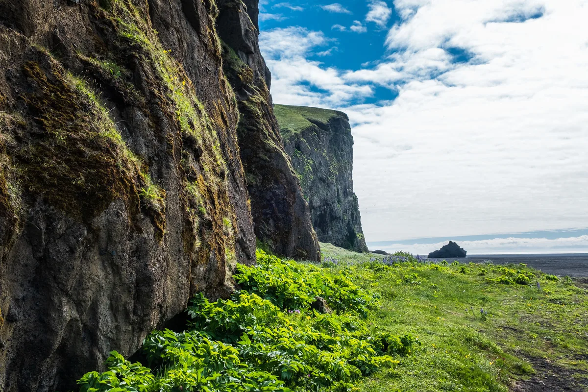
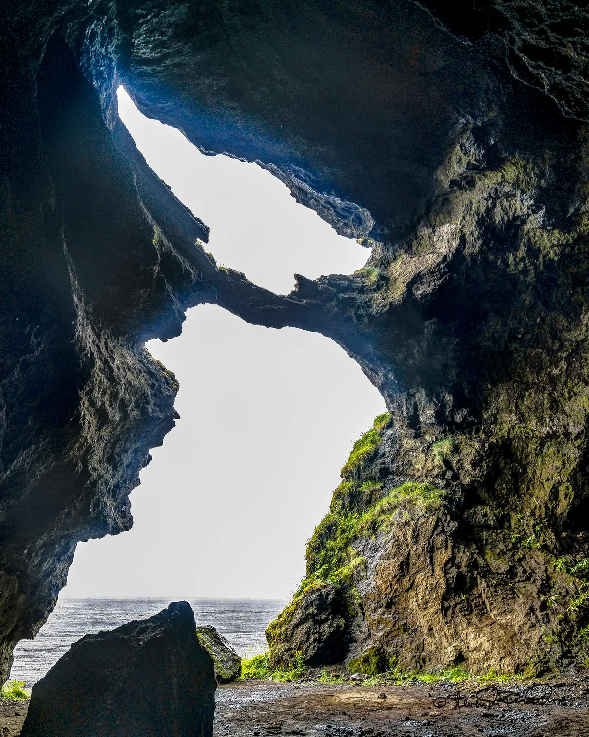
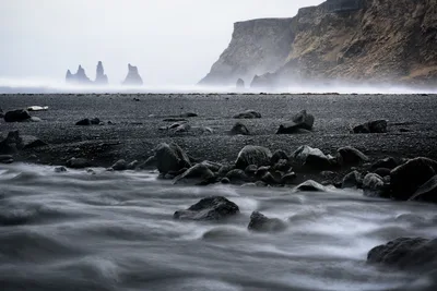
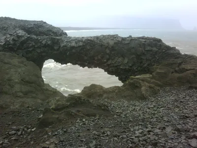
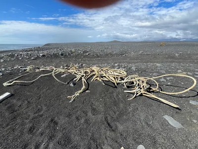
Hjörleifshöfðasandur is a vast black sand beach on Iceland's South Coast, stretching roughly three kilometres across an exposed sandur plain that feels genuinely elemental. The sand is volcanic black, the water a cold, churning grey, and the wind rarely lets up — this is Iceland without the filter. Rising from the flat plain like something from another world, the isolated tuya of Hjörleifshöfði dominates the view: a volcanic mesa with Viking-age historical significance and a 360-degree panorama from its summit. There are no facilities here, no cafés, no lifeguards — just the hiss of black sand, the Atlantic horizon, and the occasional nesting bird on the cliff faces.
How to get there
From Vík í Mýrdal, drive east along Route 1 for roughly 20 minutes; the turnoff near Hjörleifshöfði is signposted and puts you at the mesa base in about 5 minutes. A small gravel parking area sits at the foot of the mesa — parking is paid at 1,000 ISK, payable via the EasyPark app or a QR code on-site; cameras monitor compliance, so don't skip it. Access difficulty is rated moderate: the black sand is soft and energy-sapping on foot, and the summit trail requires care. There is no wheelchair access to either the beach or the mesa trail.
Who it's for
For couples
For couples who want solitude without a script, this is it — a genuinely quiet black sand plain with a dramatic mesa to climb together and no one else around to interrupt the view from the top.
For families
Families with older, sure-footed children will find the mesa hike a memorable adventure, but the soft black sand, total lack of facilities, and sandstorm risk make this a poor fit for toddlers or anyone who needs amenities close at hand.
Our take
Hjörleifshöfðasandur is not a beach you visit for a swim or a sunbathe — the grey water is cold and uninviting, the black sand is windblown, and there is not a single facility in sight. Come here because the landscape is genuinely raw: a volcanic mesa with Viking history rising from a black sandur plain, with the Atlantic pressing in from the south and the glacier sitting on the horizon to the north. The sandstorm risk is real — avoid March, April, and November entirely, and even in summer keep an eye on the weather before you leave the car. Stay on the marked summit trail, leave the nesting birds alone, and pay the 1,000 ISK parking fee before you wander off. This is one of the quietest, most geologically dramatic spots on the entire South Coast, and it earns that status precisely because it demands a little effort and respect.
What to do
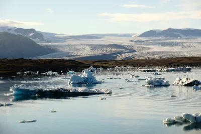
The main event is climbing Hjörleifshöfði itself — the Viking-age historical site on the mesa top rewards the ascent with a 360-degree panorama across the sandur plain that's unlike anything else on the South Coast. If you want to extend the day on horseback, Black Beach Riding Tours operates about 11.5 km away. The famous columnar basalt and sea stacks of Reynisfjara Beach are 18 km west and pair well as a half-day geology circuit, while Mýrdalsjökull Glacier — covering the Katla caldera — looms 25 km inland for those chasing ice.
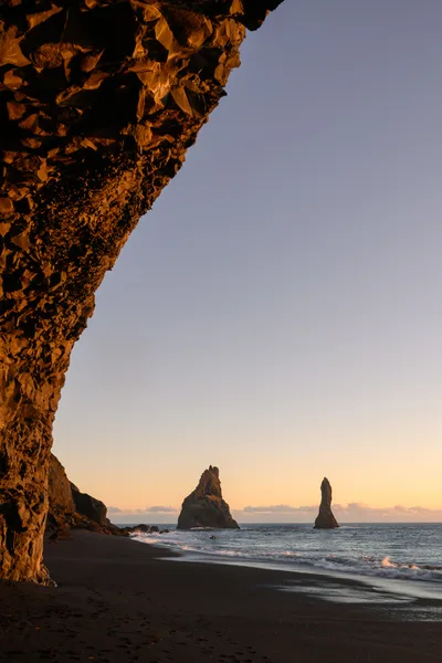
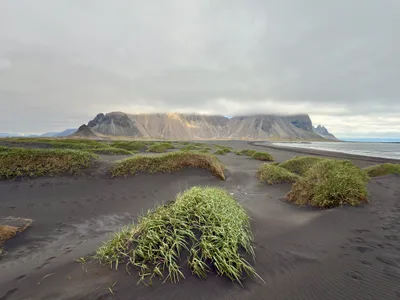
The classic frame is the tuya of Hjörleifshöfði rising alone from the flat black sandur — shoot wide from the beach level to emphasize the scale of the volcanic mesa against the grey sky.
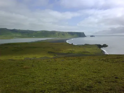
From the summit, turn your lens back down across the sandur plain for a bird's-eye shot of the black sand stretching to the Atlantic horizon — a perspective almost no other beach in Iceland offers.
Where to eat
There are no facilities on the beach itself, so eat before you arrive. Drangar, about 11.4 km away, serves regional Icelandic food and is the closest sit-down option; Ice Cave, just 11.7 km out, covers fast food and regional bites if you need something quick on the way back. The Soup Company and Halldórskaffi, both around 12 km away in the Vík area, are solid choices for a proper warm meal after a cold, windy visit.
Where to stay
Hotel Katla, 7.1 km from the beach, is the closest base and a practical choice if you want to be near the sandur without driving far after dark. Edda Vík, about 11.8 km away, sits closer to the village of Vík í Mýrdal and gives easy access to Ring Road services and the broader South Coast.
Photography
The most striking shot is the tuya rising from the flat black sandur — best captured at golden hour when low Icelandic light rakes across the volcanic plain and turns the mesa into a silhouette. From the summit, the 360-degree panorama gives you the full scale of the sandur, the grey Atlantic, and on clear days the glacier — arrive early morning to avoid any haze and to catch the light before the wind picks up.
Good to know
Sandstorms on this sandur plain can be severe — spring and autumn are the worst, and a sudden gust can strip exposed skin; cover your camera gear and face before stepping out of the car. The summit path gets slippery when wet, so wear grippy footwear and stay on the marked trail at all times. Do not approach or disturb nesting birds on the cliff faces — it's both a local rule and basic decency. Dogs are welcome but must be kept under control, especially on the cliff paths where a loose dog is a real hazard.
Map
Nearby places
Drangar
Ice Cave
Wok On
The Soup Company
Halldórskaffi
Hotel Katla
Edda Vík
Things to see around Mýrdalshreppur
Reynisfjara Beach
Iceland's most famous black sand beach with columnar basalt cave and sea stacks.
Vík í Mýrdal Village
Iceland's southernmost village with a hilltop church and Ring Road services.
Mýrdalsjökull Glacier
Iceland's fourth-largest glacier, covering the Katla volcano caldera.
Frequently asked
The information on this page is provided for guidance only and may evolve. Access conditions, safety and infrastructure can change without notice. Always check official sources before traveling.
Nearest beaches
Other wild beaches in Iceland

Reviews of this beach
- No reviews yet, what a shame — leave yours and share your experience.
Photo credits
Sources and licenses for the photos shown above.
- Photo 1 — Eric Kilby · source · CC BY-SA 2.0
- Photo 2 — ImNotQuiteJack · source · CC BY-SA 2.0
- Photo 3 — ImNotQuiteJack · source · CC BY-SA 2.0
- Photo 4 — SdosRemedios · source · CC BY-ND 2.0