Barrinha BeachBrazil Beach Guide
Wild mangrove fringe where Jericoacoara's crowds never reach
About
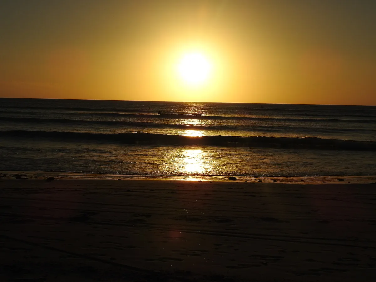
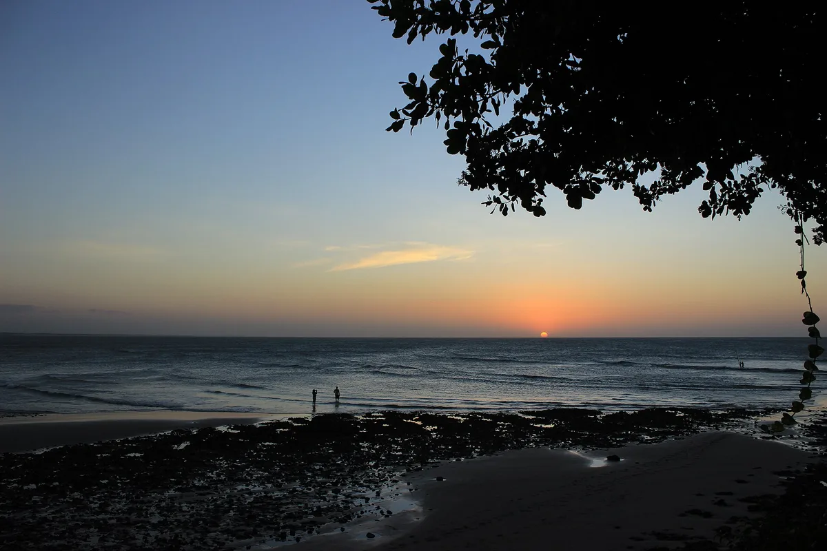
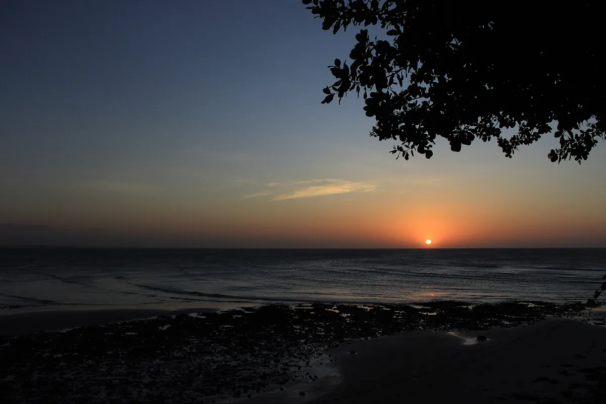
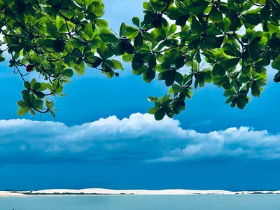
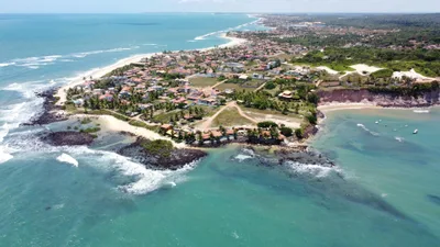
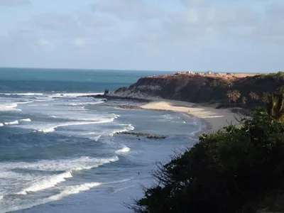
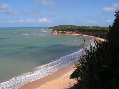
Praia de Barrinha de Jericoacoara is a short, roughly 600-metre stretch of golden sand pressed against the boundary of Jericoacoara National Park, where mangrove fingers push right to the sand's edge and carnaúba palms throw patchwork shade across the shore. The water runs brown — tinted by tannins draining from the mangrove creek — and the tidal channel that bisects the approach shifts in depth with every tide cycle. Near-zero tourist presence means you'll likely have the whole place to yourself, with only the sound of the creek and the occasional fisherman for company. It's wild in the truest sense: no infrastructure, no vendors, no footprints but yours.
How to get there
Praia de Barrinha is reached entirely on foot from Vila de Jericoacoara village — a 25-minute walk along the national park boundary, accessible daily. Jericoacoara village is famously car-free, so there is no parking of any kind; leave your vehicle at the village entrance and walk in. No entry fee is charged to access the beach itself.
Who it's for
For couples
For couples who want genuine solitude without a long expedition, Barrinha delivers — near-zero visitor presence and the drama of mangrove meeting open sand creates an atmosphere that feels genuinely remote, just 25 minutes from the village.
For families
Families with young children should plan carefully: the tidal creek depth is unpredictable, murky water limits swimming visibility, and dusk mosquitoes are relentless — older kids who can follow safety instructions and handle a 25-minute hike will get more from it than toddlers.
Our take
Barrinha de Jericoacoara is not a swimming beach — murky, tannin-brown water and an unpredictable tidal creek mean you come here to look, not to plunge in. What you do get is something genuinely rare inside a national park that draws thousands of visitors: complete solitude on golden sand, with mangrove architecture that photographers will find endlessly interesting. The 25-minute walk from the car-free village keeps the casual visitor away, which is exactly the point. Avoid March and April when the rainy season raises creek levels and intensifies the already formidable mosquito population. Come in the dry season — May through October — with repellent, water, and no agenda, and Barrinha will feel like a private annex of the park that most people walk straight past.
What to do
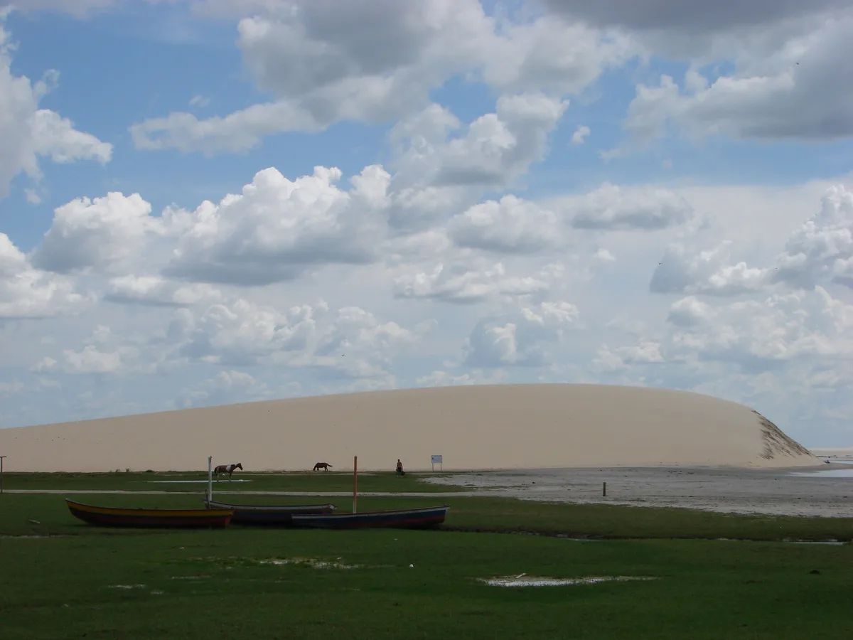
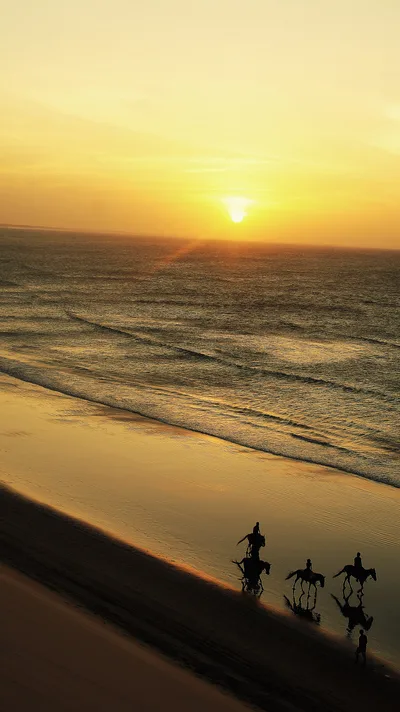
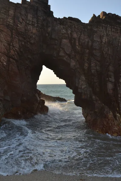
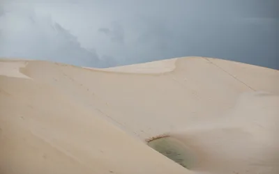
The national park boundary marker itself is worth a look — it frames the transition between wild mangrove and open sand in a way few beaches manage. From here it's only 2 km to Pedra Furada, the iconic sandstone arch standing in the surf that has become the geological symbol of the park. Dunas do Pôr Sol is just 0.6 km away, and the famous Duna do Pôr do Sol sunset dune is reachable within 2.1 km for an evening ritual that draws visitors from across the region. Poço da Princesa, a freshwater lagoon, sits 1.7 km out and makes a logical add-on to a half-day loop.
The junction where mangrove roots give way to golden sand is the defining frame — shoot wide at low tide when the root network is fully exposed against the pale shore.
The carnaúba palms mid-beach offer a classic Northeast Brazil silhouette shot, best captured in the last 30 minutes of afternoon light before the mosquitoes arrive.
Where to eat
There are no food or drink vendors on the beach itself, so eat before you head out. Back in the village, Naturalmente Creperia and Bistro Caicara are both within 100 metres of the village centre, and Bom de Boca offers Italian-style pizza at 0.1 km. Pimenta Verde rounds out the options at 0.2 km for a slightly longer post-walk meal.
Where to stay
Casa Na Praia Jeri and Hotel Casa de Areia are both within 100 metres of the village heart and put you closest to the trailhead for an early-morning walk to the beach. Mosquito Blue at 0.2 km and Jeri Village Hotel at 0.3 km offer a little more distance from the centre without adding much to your walking time.
Photography
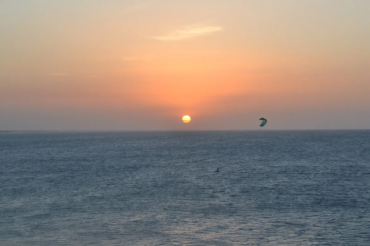
The most striking shot is at the mangrove-to-sand transition at golden hour — the brown water picks up warm light beautifully against the golden sand and dark root tangles. Arrive in the morning when the low angle of the sun rakes across the carnaúba palm shadows and the creek surface is glassy before the afternoon breeze picks up.
Good to know
Respect any active fishing on the shore — give fishermen space and never interfere with lines or gear. Do not step on or disturb mangrove roots; they are protected within the national park boundary. Bring strong insect repellent without fail: mangrove mosquitoes are intense at dusk year-round, and there is nowhere to buy supplies on the beach. The tidal creek depth changes significantly with the tide — check conditions before crossing, and note that murky water near the mangrove limits visibility for swimming, making it a moderate-safety environment at best.
Map
Nearby places
Naturalmente Creperia
Bom de boca
Bistro Caicara
Leonardo Da Vinci
Pimenta Verde
Casa Na Praia Jeri
Hotel Casa de Areia
Essenza Hotel
Mosquito Blue
Jeri Village Hotel
Things to see around Jijoca de Jericoacoara
Pedra Furada
Natural sandstone arch standing in the surf, geological symbol of the national park.
Praia de Jericoacoara
Main village beach of the national park.
Duna do Pôr do Sol
Iconic sunset dune at the western tip of Jericoacoara village.
Frequently asked
The information on this page is provided for guidance only and may evolve. Access conditions, safety and infrastructure can change without notice. Always check official sources before traveling.
Nearest beaches
Other wild beaches in Brazil
More beaches in Northeast Brazil
Reviews of this beach
- No reviews yet, what a shame — leave yours and share your experience.
Photo credits
Sources and licenses for the photos shown above.
- Photo 1 — Wallace P de Araujo · source · CC BY-SA 4.0
- Photo 2 — Elvis Boaventura · source · CC BY 3.0
- Photo 3 — TobiART · source · CC BY-SA 4.0
- Photo 4 — Alexandre Braga Mart… · source · CC BY-SA 3.0
- Photo 5 — Alexandre Braga Mart… · source · CC BY-SA 3.0