Westside Preserve BeachUnited States Beach Guide
Wild Pacific shore reached only by water
About
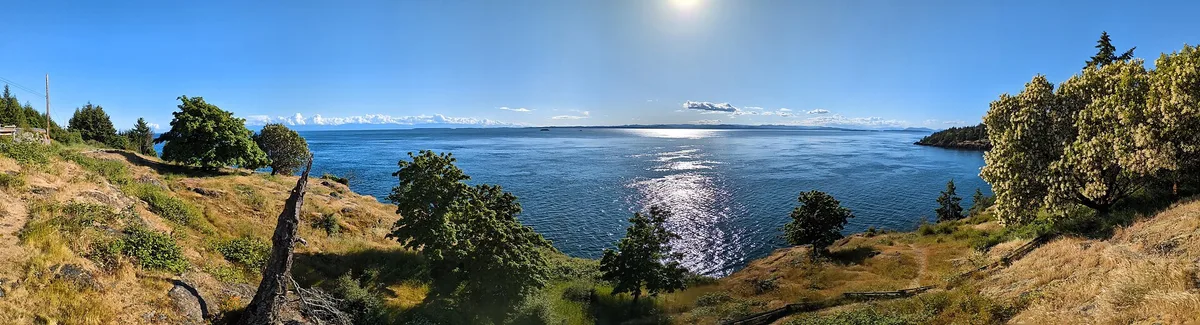
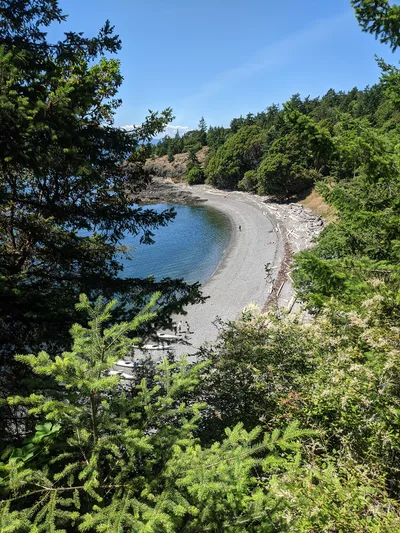
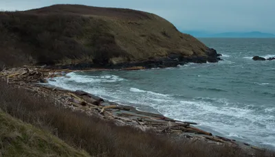
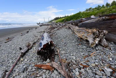
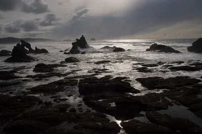
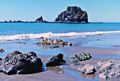
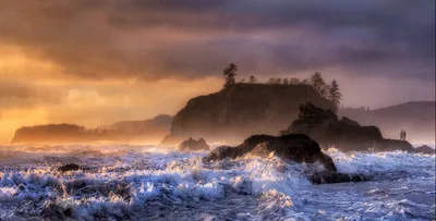
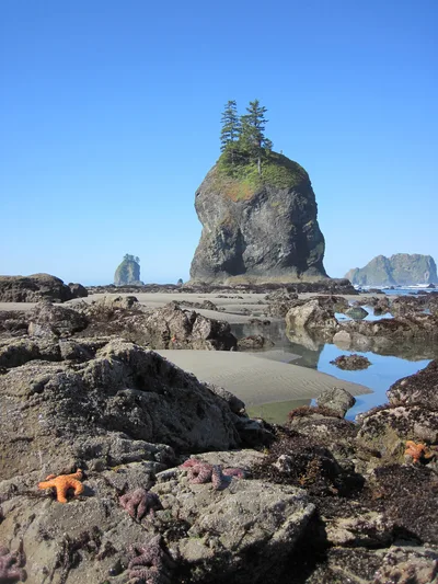
Westside Preserve Beach sits on Sunken Rock in the San Juan Islands, Washington — a raw, rocky stretch of Pacific Northwest coastline where the blue water meets intertidal shelves and tide pools rather than any sandy shore. There's no sand here; the beach is all stone, barnacle, and kelp, shaped by tidal rhythms and open water. The wild vibe is real — no facilities, no road access, no development. What you get instead is a genuinely untouched intertidal zone, alive with marine life and framed by the deep blue of the Salish Sea.
How to get there
Westside Preserve Beach is boat- and ferry-only — there is no road and no way to drive here. Washington State Ferries operates routes of approximately 40 and 65 minutes to the San Juan Islands; Black Ball Transport offers a 90-minute crossing. Seaplane access is also available for those flying in from the region, with Victoria International Airport (YYJ) roughly 26 km away. Once you arrive on the island, trail access brings you to the beach itself — plan your ferry schedule carefully, as missing the last boat means a long wait.
Who it's for
For couples
The boat-only approach and complete absence of facilities make this a genuinely remote escape for couples who want wild scenery and silence over convenience — pack a lunch, time the low tide, and you'll likely have the rocky shore to yourselves.
For families
Families with older, curious kids will find the tide pools endlessly engaging at low tide, but the rocky terrain, cold water, and no-facilities setup means this is not a beach for toddlers or anyone expecting amenities — plan the ferry logistics carefully and bring everything you need.
Our take
Westside Preserve Beach is not a beach you stumble onto — you earn it with a ferry ride and a trail walk, and that effort is exactly the point. The rocky intertidal shore is wild and genuinely alive, but set your expectations clearly: no sand, no facilities, no swimming, and no safety net if the weather turns. The tide pools alone justify the journey for anyone with a serious interest in Pacific Northwest marine ecology. June through September gives you the best weather and the longest daylight for exploring. If you want a remote, protected stretch of Pacific coastline with real ecological depth, this delivers. If you need a beach day with amenities, look elsewhere.
What to do
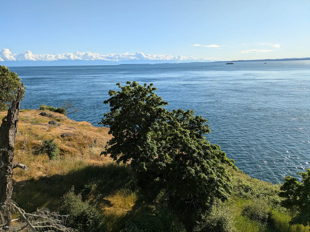
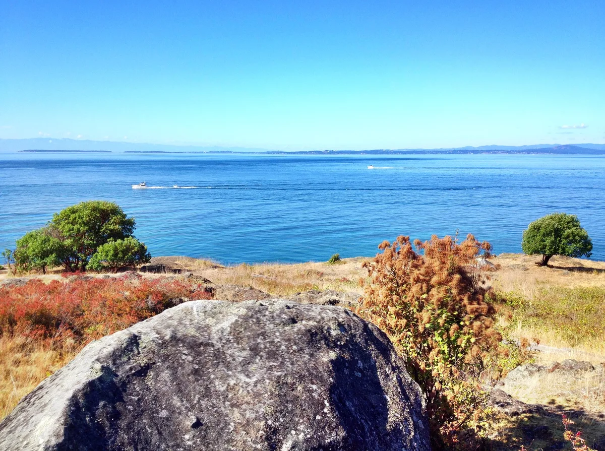
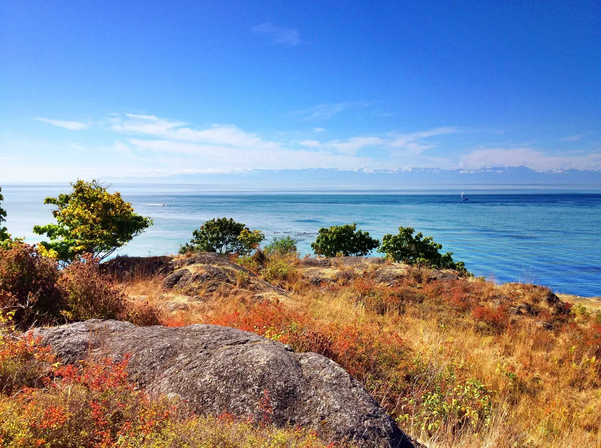
The Ralph and Karen Munro Overlook, about 1.1 km from the beach, rewards the short walk with open views across the water — worth the detour. A dedicated Bird Blind roughly 1.8 km along the trail is a genuine draw for wildlife watchers, given the San Juan Islands' reputation for seabirds and marine mammals. The intertidal zone itself is the main event: tide pools here support a dense community of anemones, sea stars, and invertebrates, and low tide reveals the full richness of the rocky shelf.
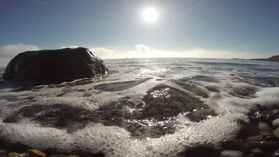
The exposed rocky tide pools at low tide offer striking close-up compositions — sea stars, anemones, and blue water in a single frame.
The Ralph and Karen Munro Overlook at 1.1 km delivers wide-angle shots of the Salish Sea and island coastline, best in the long evening light of summer. The Bird Blind at 1.8 km is a quieter spot for wildlife photography if you time your visit for early morning.
Where to eat
The Blow Hole café is the nearest option, about 1.2 km from the beach — useful for a coffee or a bite before or after your visit. Beyond that, there are no food vendors or facilities at Westside Preserve Beach itself, so pack your own provisions for the day.
Where to stay
No accommodation is listed at or near Westside Preserve Beach. Oaks Mobile Home Park is the closest named settlement, approximately 7.4 km away, but visitors typically base themselves in the broader San Juan Islands and day-trip to the beach by ferry.
Photography
Arrive at low tide for the most dramatic intertidal compositions — exposed rocky shelves, tide pools reflecting the deep blue water, and the raw Pacific horizon make for compelling frames. The Ralph and Karen Munro Overlook at 1.1 km offers elevated sightlines across the water, best shot in the long golden light of a June or July evening.
Good to know
No facilities exist on-site — bring all food, water, and any gear you need before you board the ferry. The intertidal zone is a protected land-bank area; stay on marked trails, do not remove shells, rocks, or marine life, and tread carefully around tide pools. Swimming conditions are unassessed and the rocky shoreline, cold Pacific water, and unpredictable currents of the San Juan Islands make entering the water inadvisable — do not swim here without full knowledge of local conditions. The best window is June through September; outside those months, weather turns quickly and ferry schedules may be reduced.
Map
Nearby places
Ralph and Karen Munro Overlook
Bird Blind
Frequently asked
The information on this page is provided for guidance only and may evolve. Access conditions, safety and infrastructure can change without notice. Always check official sources before traveling.
Nearest beaches

Other wild beaches in United States
Reviews of this beach
- No reviews yet, what a shame — leave yours and share your experience.
Photo credits
Sources and licenses for the photos shown above.
- Photo 1 — Buidhe · source · CC BY-SA 4.0
- Photo 2 — Buidhe · source · CC BY-SA 4.0
- Photo 3 — ArtBrom · source · CC BY-SA 2.0
- Photo 4 — ArtBrom · source · CC BY-SA 2.0