Ribeira das Cabras BeachPortugal Beach Guide
Black pebble cove at the end of a forest ravine
About
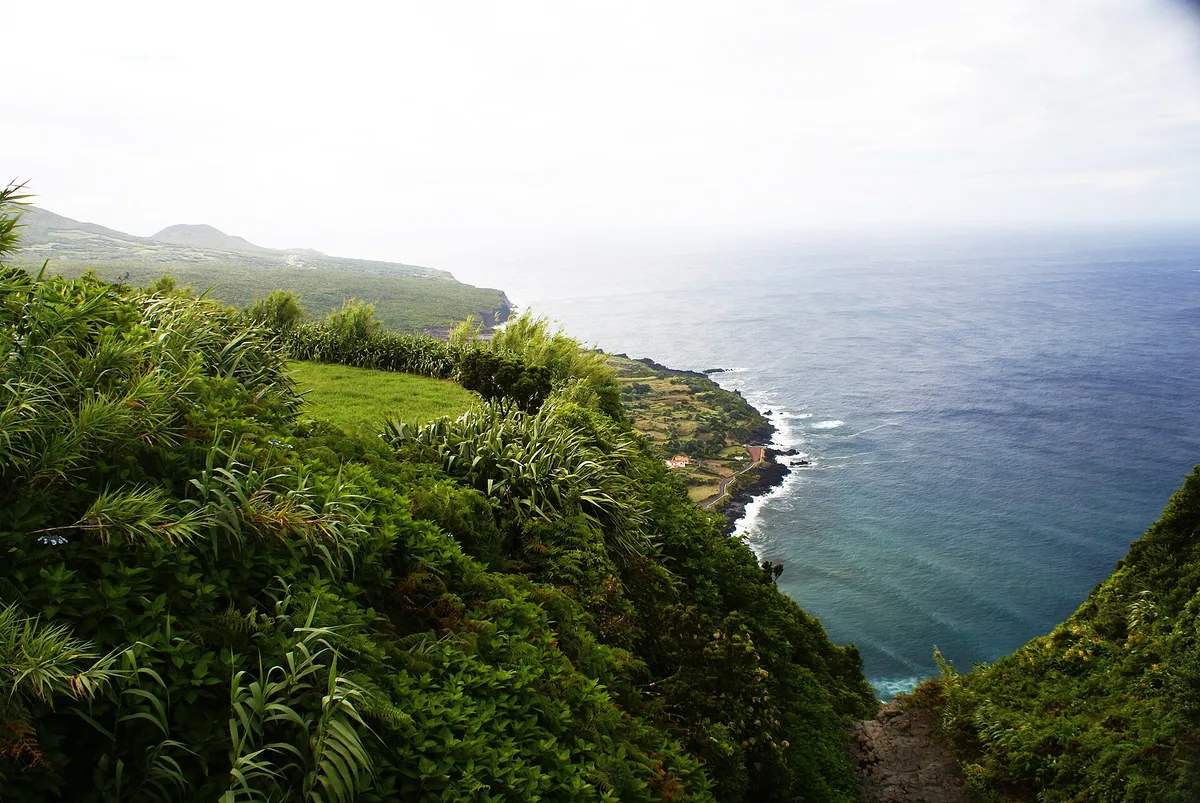
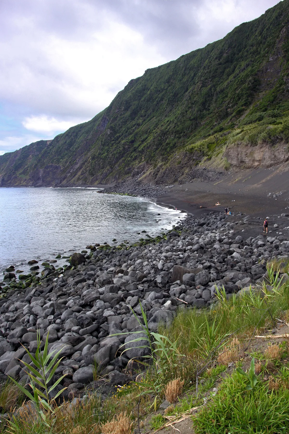
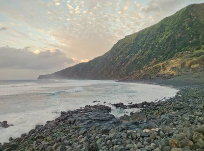
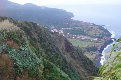
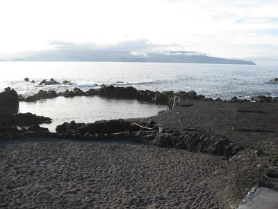
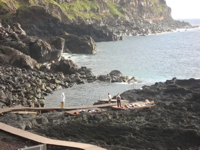
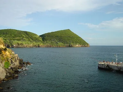
Praia da Ribeira das Cabras is a small black-pebble cove tucked at the base of a laurisilva ravine on Faial's south coast. You reach it only on foot, descending through native Atlantic forest with no road, no facilities, and no other visitors in sight. The blue ocean opens dramatically at the ravine's mouth, framed by dark volcanic rock and dense green canopy overhead. At roughly 60 metres wide, it's intimate by design — a place where the island feels genuinely wild. Complete solitude is the point.
How to get there
The trailhead sits roadside on the EN1-1A highway, near Praia do Norte village. From there, a 20-minute descent on an unmarked trail through native forest brings you to the cove. There is no dedicated parking area — roadside parking along the EN1-1A is your only option. No entry fee applies.
Who it's for
For couples
The 20-minute forest descent and guaranteed solitude at the cove make this a genuinely private escape for two — no other visitors, no noise, just black pebbles and blue ocean at the end of a ravine.
For families
The steep, unmarked trail and absence of any facilities make this beach unsuitable for young children or anyone who needs easy access — families are better served by more accessible beaches on Faial.
Our take
This is not a beach you stumble onto. Praia da Ribeira das Cabras demands a deliberate choice — an unmarked trail, a forest ravine, and a 20-minute descent with no guarantee of help if something goes wrong. Go between June and September, check the weather before you leave, and treat the slippery-path warning seriously. The reward is a black-pebble cove in near-total solitude, with blue Atlantic water and native laurisilva pressing in on all sides. It's one of Faial's most atmospheric spots precisely because access filters out everyone who isn't committed. If you want easy and comfortable, this isn't it. If you want wild and genuinely yours for the afternoon, few places on the island come close.
What to do
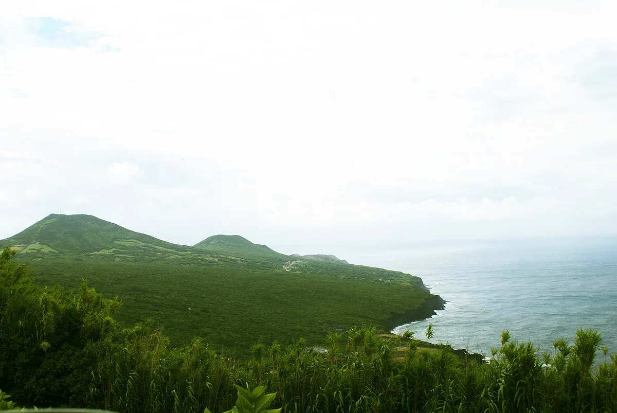
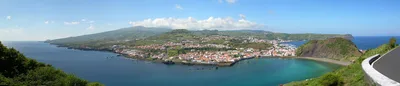
The Miradouro da Ribeira das Cabras viewpoint sits right at the trailhead, giving you a dramatic aerial look at the cove before you descend. A short drive away, the Caldeira de Faial — Faial's central volcanic caldera with a 2 km wide crater — rewards a rim hike with sweeping island views. At 6.7 km, the Capelinhos Volcano Interpretation Centre tells the story of the 1957–58 eruption that reshaped the island's western tip, and Praia do Norte's long black-sand beach backed by the Capelinhos lava field is just 0.9 km away.
The Miradouro da Ribeira das Cabras at the trailhead gives you a sweeping overhead shot of the black-pebble cove framed by ravine walls — shoot in morning light before haze builds.
At beach level, position yourself at the water's edge looking back up the laurisilva ravine for a shot that captures the full drama of forest meeting volcanic shore.
Where to eat
The closest option is Restaurante Rumar, serving regional Azorean food about 1.4 km from the trailhead — a logical stop before or after the hike. Further afield, Taberna Azevedo and Restaurante Avózinha, both around 10–11 km away, offer solid regional cooking. Pack a lunch; there is absolutely nothing to eat at the beach.
Where to stay
Refúgio dos Capelinhos - Villa e Suites, rated 4.9/5 across 50 reviews and just 4.5 km away, is the closest base and suits the wild character of this coast well. For more options, Azul Singular (4.9/5, 185 reviews) and Quinta Das Buganvílias (4.5/5, 65 reviews) are both within roughly 10 km of the trailhead.
Photography
Shoot from the Miradouro da Ribeira das Cabras at the trailhead for a top-down view of the black-pebble cove meeting blue ocean — morning light from the east is ideal. Down at the cove itself, the contrast between dark volcanic pebbles, the ravine's green canopy walls, and deep blue water makes for a compelling wide-angle frame at any time of day.
Good to know
The trail is unmarked, so basic navigation skills are essential — don't rely solely on a phone signal. After heavy rain, the path becomes slippery and overgrown; avoid the cove entirely from October through March, when Atlantic swell also makes the cove rough and the trail dangerous. There is no lifeguard present at any time. Bring everything you need — water, food, a first-aid kit — because there is nothing at the beach itself.
Map
Nearby places
Restaurante Rumar
Pátio
Campo dos Sabores
Taberna Azevedo
Restaurante Avózinha
Refúgio dos Capelinhos - Villa e Suites
Quinta da Meia Eira
Quinta Das Buganvílias
Azul Singular
Estrela do Atlântico
Caldeira de Faial
Praia do Norte
Capelinhos Volcano Interpretation Centre
Things to see around Horta
Caldeira de Faial
Faial's central volcanic caldera with a 2 km wide crater and rim hiking trail.
Praia do Norte
Long black-sand beach backed by the Capelinhos lava field; a dramatic landscape stop.
Capelinhos Volcano Interpretation Centre
Underground museum at the site of the 1957–58 Capelinhos eruption.
Frequently asked
The information on this page is provided for guidance only and may evolve. Access conditions, safety and infrastructure can change without notice. Always check official sources before traveling.
Nearest beaches
Other wild beaches in Azores
More beaches in Azores
Reviews of this beach
- No reviews yet, what a shame — leave yours and share your experience.
Photo credits
Sources and licenses for the photos shown above.
- Photo 1 — José Luís Ávila Silveira/Pedro Noronha Costa · source · Public Domain
- Photo 2 — José Luís Ávila Silveira/Pedro Noronha Costa · source · Public Domain
- Photo 3 — Guillaume Baviere from Helsingborg, Sweden · source · CC BY 2.0