Fuertes BeachPuerto Rico Beach Guide
Fort ruins, golden sand, and almost no one else
About
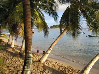
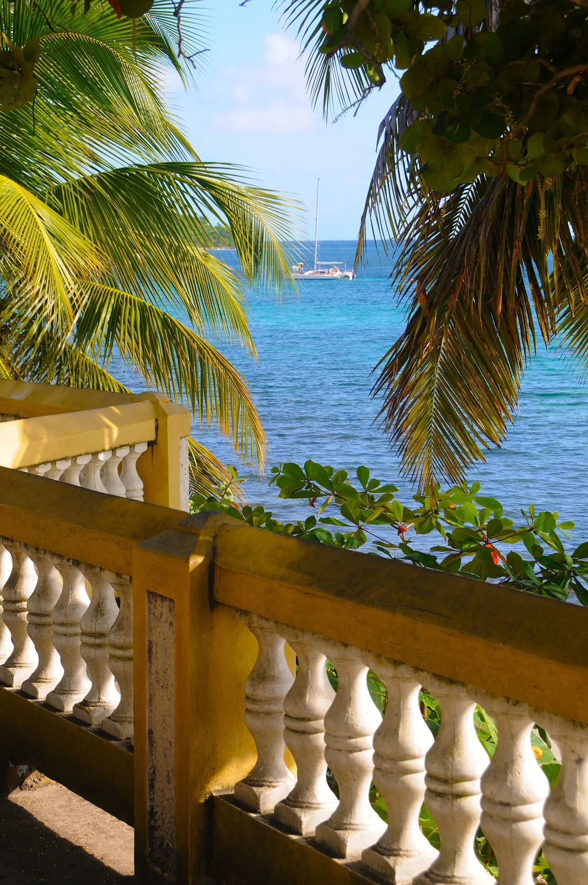
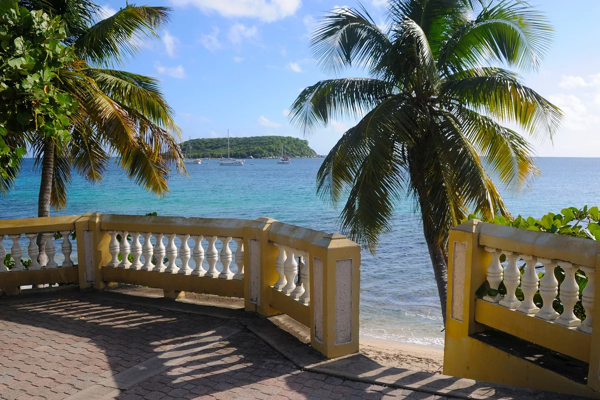
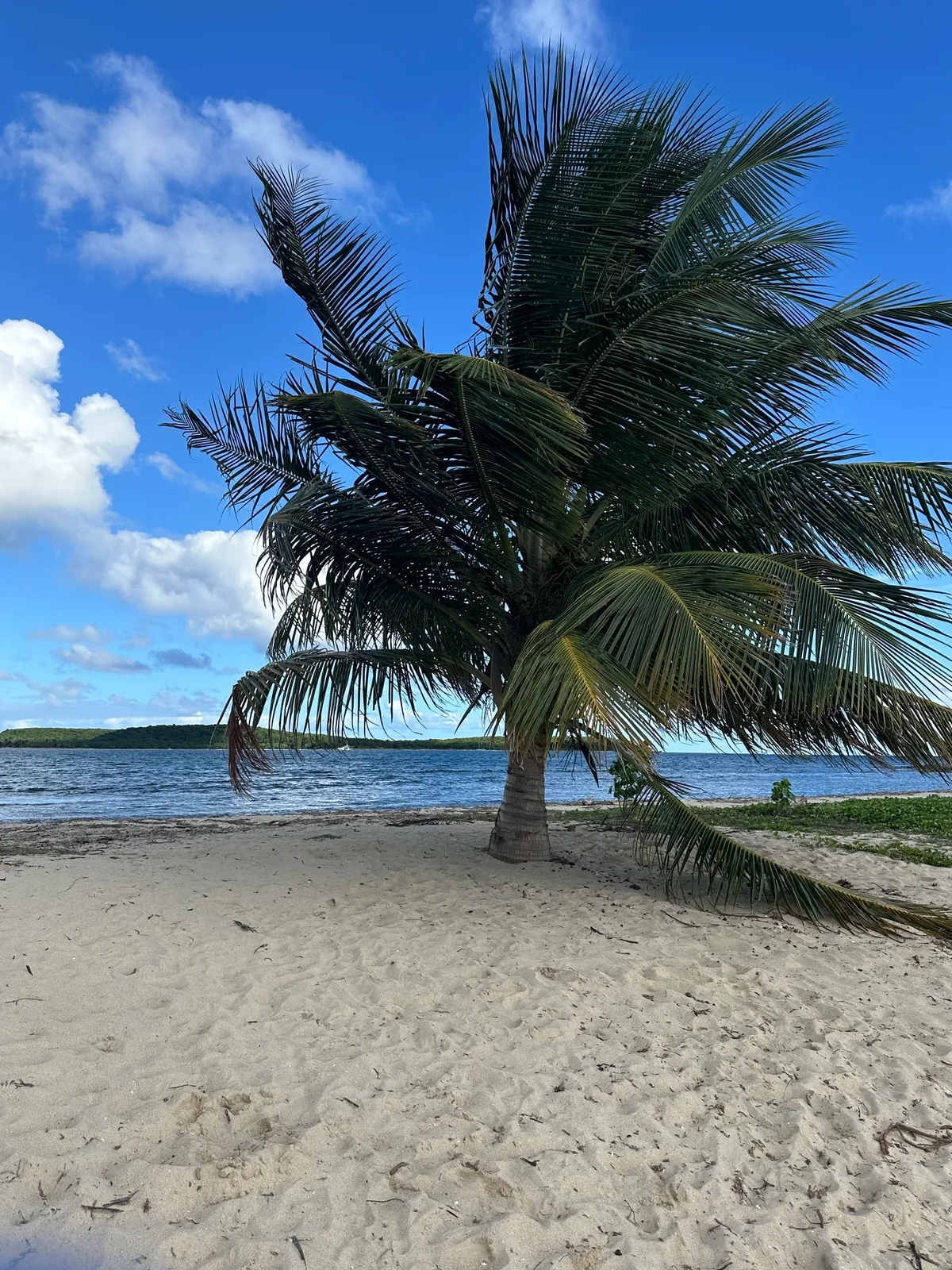
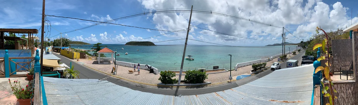
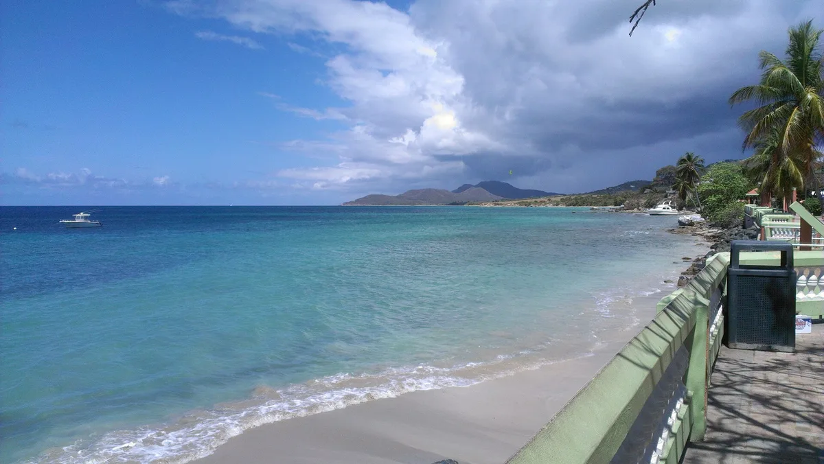
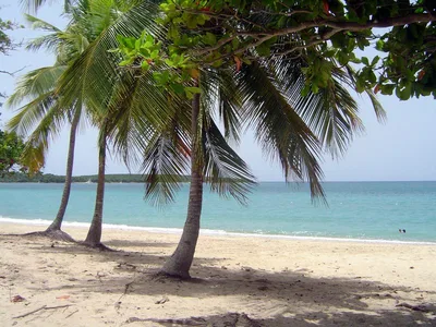
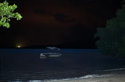
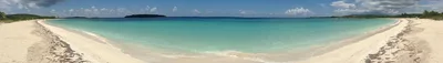
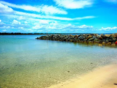
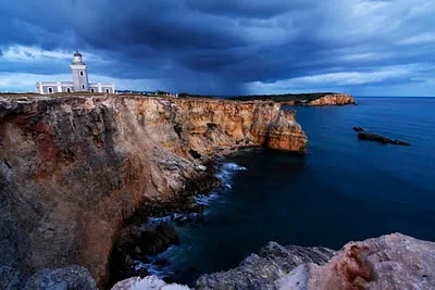
Playa Fuertes sits at the base of a steep bluff on Vieques' northwest coast, directly below the weathered walls of the last Spanish fort built in the Americas. The golden sand strip is short and intimate, backed by history rather than beach bars, with blue Atlantic water lapping at its edge. You reach it only by boat or ferry — there's no road, no facility, no vendor — which is exactly why it stays empty. The fort ruins loom above, casting long shadows in the late afternoon and giving the whole scene a layered, almost cinematic quality. It's one of those rare places where landscape and history arrive together.
How to get there
Playa Fuertes is boat- and ferry-only — there is no road access whatsoever. Take the daily ferry from Ceiba on the Puerto Rico mainland, a roughly 90-minute crossing to Vieques. From the ferry terminal in Isabel Segunda, the Fortín Conde de Mirasol is about a 10-minute hike away, and the steep bluff path descends from there directly to the beach. There is no parking at or near the beach — the journey begins and ends on the water.
Who it's for
For couples
The combination of empty golden sand, blue water, and centuries-old fort ruins overhead makes this one of the more genuinely romantic spots on Vieques — no vendors, no noise, just the two of you and a lot of history. The difficult access is part of the appeal: you earn the solitude.
For families
The steep, potentially slippery path descent and the complete absence of facilities make Playa Fuertes a poor fit for young children or anyone with limited mobility. Families with older, sure-footed kids who are interested in history may find the fort museum at Fortín Conde de Mirasol a rewarding stop before deciding whether to attempt the descent.
Our take
Playa Fuertes rewards effort and punishes complacency. The steep path is real — slippery after rain, completely unassisted, and the beach at the bottom has no lifeguard, no shade structure, and no safety net of any kind. Swim with caution; the northwest coast exposure means moderate conditions at best. That said, if you arrive on a calm dry-season morning, what you find is genuinely rare: a short strip of golden sand beneath a Spanish colonial fort, blue water ahead, almost no one around. The history and the landscape arrive together in a way that few beaches manage. Go between November and April, wear grip shoes, check the tide, and leave the fort stones exactly where you find them. Skip August through October entirely — hurricane season makes the path dangerous and the crossing unpleasant.
What to do
The obvious starting point is Fortín Conde de Mirasol, just 0.1km away — the last Spanish fort built in the Americas, now a museum with exhibits on Vieques island history, and the literal gateway to the beach below. Isabel Segunda, the main town, is 0.5km away and offers ferry connections, restaurants, and local services worth exploring before or after your beach visit. If you want more shoreline, Playa Grande on the north coast is about 3km away — a wide, undeveloped stretch with Atlantic swells and driftwood.
Stand on the bluff path and frame the fort ruins against the blue water below — that elevated angle is the defining shot of Playa Fuertes.
At beach level, the stone wall rising directly above the golden sand makes a striking vertical composition, especially in late afternoon light when the shadows deepen.
Where to eat
There are no food or drink vendors at Playa Fuertes — bring your own picnic, because the beach offers nothing but sand and scenery. For a meal before or after, head into Isabel Segunda, 0.5km from the fort, where local restaurants and services are available.
Where to stay
El Blok is the closest option, just 0.1km away, making it the most convenient base for an early morning visit before the tide rises. Malecón House and Trade Winds Guest House are both around 0.5km away and offer solid alternatives at a short walk from the ferry terminal and fort.
Photography
The most dramatic shot is from the bluff itself — fort ruins in the foreground, the blue Atlantic and golden sand strip below — best captured in the late afternoon when the light rakes across the stone walls. At beach level, face northwest toward the open water at sunrise for clean, unobstructed compositions with virtually no other visitors in frame.
Good to know
The path down the bluff becomes genuinely slippery after rain — wear shoes with grip and check the forecast before you go. There is no lifeguard and no facilities of any kind, so bring everything you need, including water and a first-aid kit. The narrow strip of golden sand can shrink significantly at high tide, so time your visit accordingly and don't leave gear at the waterline. Respect the fort grounds and historic structures above — they are protected, and the ruins are fragile. True digital-detox territory: cell signal is unreliable and there's nowhere to plug in a laptop, so bring a book.
Map
Nearby places
Things to see around Isabel Segunda
Fortín Conde de Mirasol
Last Spanish fort built in the Americas, now a museum with island history exhibits.
Isabel Segunda
Main town of Vieques with ferry terminal, restaurants, and local services.
Playa Grande
Wide undeveloped north-coast beach with Atlantic swells and driftwood.
Frequently asked
The information on this page is provided for guidance only and may evolve. Access conditions, safety and infrastructure can change without notice. Always check official sources before traveling.
Nearest beaches
More beaches in Greater Antilles
Reviews of this beach
- No reviews yet, what a shame — leave yours and share your experience.
Photo credits
Sources and licenses for the photos shown above.
- Photo 1 — Katka Nemčoková · source · CC BY-SA 3.0
- Photo 2 — David Broad · source · CC BY 3.0
- Photo 3 — David Broad · source · CC BY 3.0
- Photo 4 — Karen McCabe · source · CC0
- Photo 5 — H · source · CC BY-SA 2.0
- Photo 6 — Rar285 · source · CC BY-SA 3.0