Arenas BeachPuerto Rico Beach Guide
Wild tidal flats at the forgotten northwest tip of Vieques
About
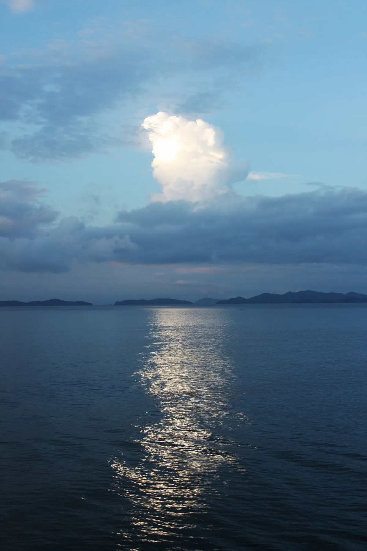
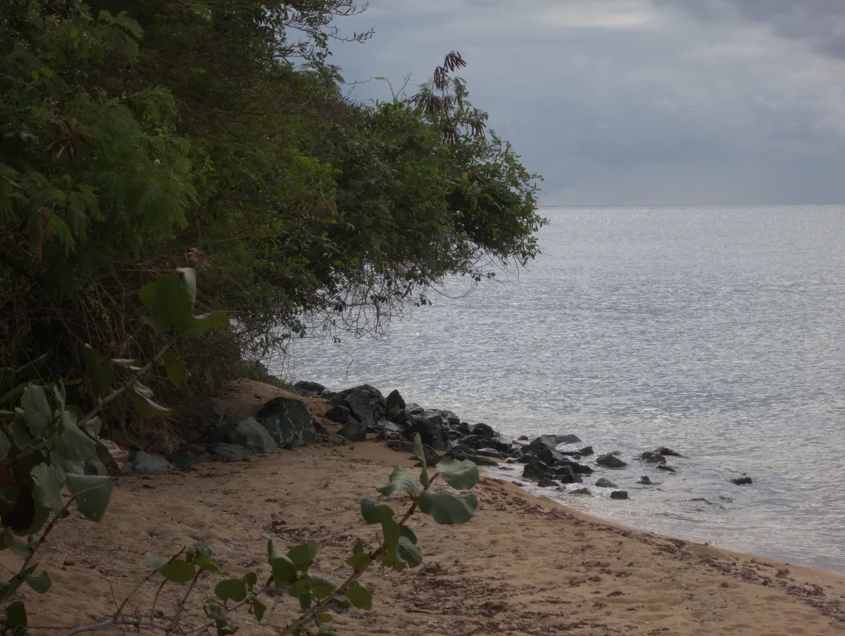
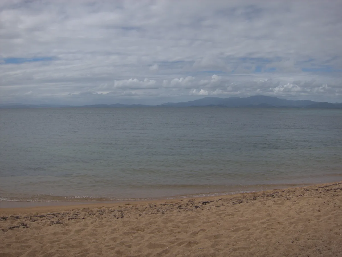
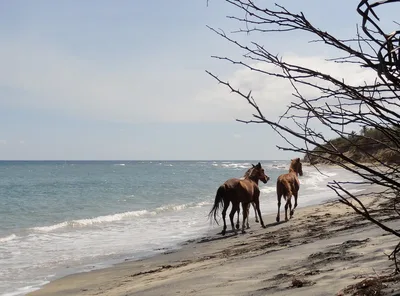
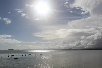
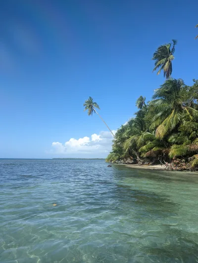
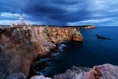
Playa Arenas sits at the northwest tip of Isla de Vieques, a roughly 300-metre stretch of golden sand that opens onto wide tidal flats when the tide pulls back. The turquoise water is shallow and calm enough for wading, but it's the exposed flats — stretching out toward the horizon at low tide — that define this place. No vendors, no signage, no other visitors: just cast-net fishermen working the shallows at dawn and the sound of the wind off the Greater Antilles. It's raw, unhurried, and entirely on its own terms.
How to get there
From Isabel Segunda, it's roughly a 25-minute drive to the northwest coast, though the final approach is unpaved and unmarked — bring a GPS because there are no trail signs or road markers. There is no formal parking; vehicles are left on a dirt track. If you're coming from mainland Puerto Rico, take the daily ferry from Ceiba (about 90 minutes) to Vieques, then drive from Isabel Segunda. Be warned: tidal flats can trap vehicles at high tide, so time your arrival carefully and know the tide schedule before you go.
Who it's for
For couples
Playa Arenas rewards couples who want genuine solitude — no other visitors, no noise, just golden sand and turquoise water stretching to the horizon. Come at dawn, wade the flats together, and you'll have the entire northwest tip of Vieques to yourselves.
For families
The shallow wading conditions are gentle enough for older children comfortable on uneven tidal flats, but the difficult unpaved access, zero facilities, no mobile signal, and vehicle-trapping tide risk make this a poor fit for families with young children or anyone who needs reliable amenities nearby.
Our take
Playa Arenas is not a beach you stumble onto — the difficult unpaved access, absent signage, and vehicle-trapping tidal flats mean it filters out anyone who isn't prepared. That's exactly the point. The safety checklist here is real: know the tide times, carry GPS coordinates offline, bring everything you need, and do not drive onto the flats. Do all that, and what you get is a genuinely wild stretch of golden sand and turquoise tidal flats on the northwest tip of Vieques with no tourist presence whatsoever. The dawn fishing scene alone justifies the effort. Skip it in August through October without a second thought.
What to do
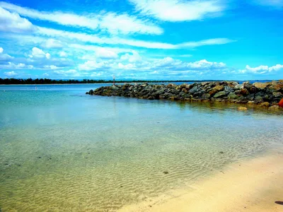
The beach itself is the activity: wade the wide tidal flats at low tide and watch local fishermen work the shallows with cast nets at dawn — it's one of the few places on Vieques where that tradition is still visible up close. About 6 kilometres away, Fortín Conde de Mirasol in Isabel Segunda is the last Spanish fort built in the Americas and now houses a museum worth an hour of your time. Green Beach, roughly 8 kilometres south, offers snorkeling on rocky outcrops and some of the best sunset views on the island.
The wide tidal flats at low tide are the standout shot — wade out and turn back toward the golden sand with the turquoise water around your ankles and nothing else in frame.
At dawn, a cast-net fisherman silhouetted against the early light on the flats is the kind of image you won't find anywhere else on Vieques.
Where to eat
The nearest options are all a solid drive away. Isla Nena Crabwalk Cafe is about 9.5 kilometres from the beach, and Trade Winds and Kristy's — good for a breakfast stop before an early dawn visit — are around 11 kilometres out. Bili and Mango Public House, both near the 11–12 kilometre mark, round out your choices; pack a cooler for the beach itself because there is nothing on site.
Where to stay
Trade Winds Guest House and Malecón House are both around 11 kilometres from the beach and make practical bases for an early-morning visit to the tidal flats. El Blok, about 11.4 kilometres away, is another option on the island. All three put you within easy driving distance of Isabel Segunda's ferry terminal and local services.
Photography
Arrive at dawn for the best light: the golden sand catches the low morning sun while cast-net fishermen work the shallows, giving you foreground action against the turquoise flats. At low tide, the wide exposed tidal flat creates a mirror-like reflection of the sky — shoot wide and low from the waterline for the most dramatic perspective.
Good to know
Pack out every piece of waste — there are zero facilities on site, no bins, no toilets, no running water. There is no mobile signal here, so download offline maps and save the GPS coordinates (18.1185684, -65.5767525) before you leave town. Never park or drive onto the tidal flats; a rising tide can strand a vehicle with very little warning. Avoid August, September, and October entirely — peak hurricane season makes the northwest coast of Vieques genuinely dangerous.
Map
Nearby places
Isla Nena Crabwalk Cafe
Trade Winds
Kristy's
Bili
Mango Public House
Mosquito Pier
Playa Negra
Fortín Conde de Mirasol
Isabel Segunda
Green Beach (Playa Caracasbaai)
Things to see around Isabel Segunda
Fortín Conde de Mirasol
Last Spanish fort built in the Americas, now a museum in Isabel Segunda.
Isabel Segunda
Main town of Vieques with ferry terminal, restaurants, and local services.
Green Beach (Playa Caracasbaai)
Westernmost beach on Vieques with sunset views and snorkeling on rocky outcrops.
Frequently asked
The information on this page is provided for guidance only and may evolve. Access conditions, safety and infrastructure can change without notice. Always check official sources before traveling.
Nearest beaches
More beaches in Greater Antilles
Reviews of this beach
- No reviews yet, what a shame — leave yours and share your experience.
Photo credits
Sources and licenses for the photos shown above.
- Photo 1 — Alberto Navarro Alonso · source · CC BY-SA 3.0
- Photo 2 — mlcastle · source · CC BY-SA 2.0
- Photo 3 — mlcastle · source · CC BY-SA 2.0
- Photo 4 — mlcastle · source · CC BY-SA 2.0