Tapahuga BeachSpain Beach Guide
Dark sand, banana fields, and near-total solitude
About
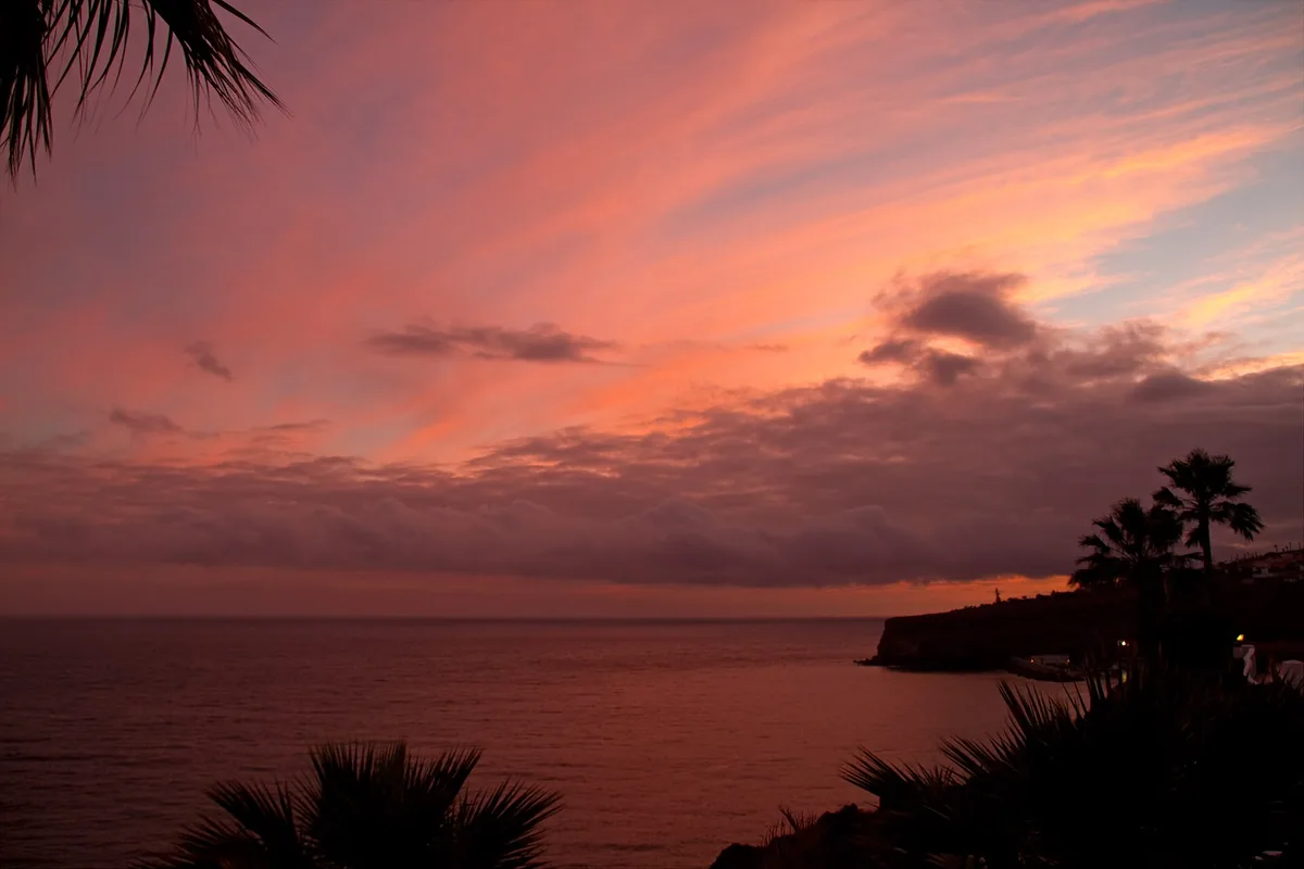
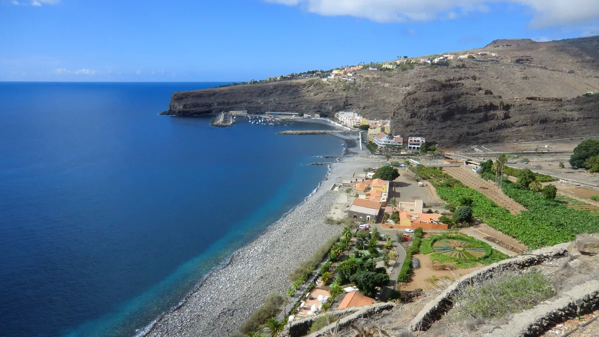
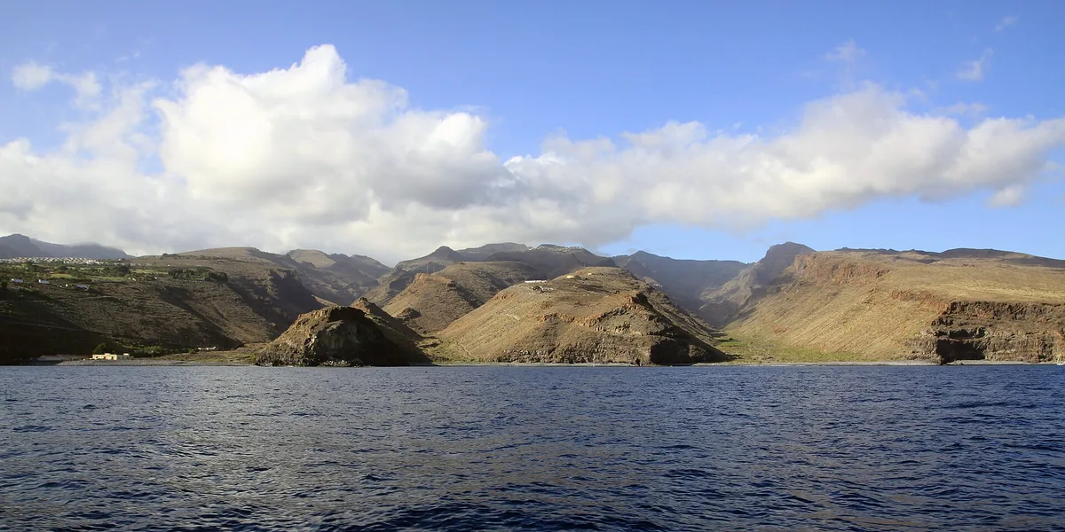
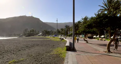
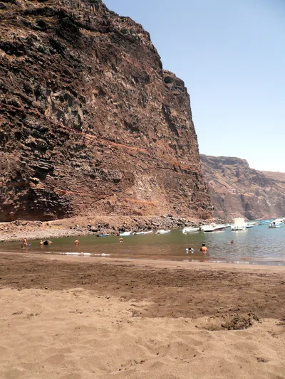
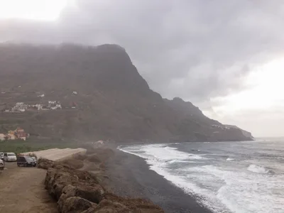
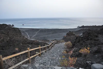
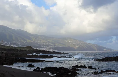
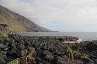
Playa de Tapahuga sits on La Gomera's south coast, framed by eroded volcanic cliffs and backed by a working agricultural valley still planted with banana fields. The sand is a dark, salt-and-pepper mix of volcanic grains and pebbles, and the water runs crystal clear against that moody shoreline. At roughly 350 metres long, it's compact enough to feel like your own private cove — and most days, it practically is. The access track doubles as a farm path, which gives the whole place an unhurried, working-landscape feel that's rare on any Canary Island beach.
How to get there
Drive from Playa de Santiago — it's about five minutes by car along the south coast. The track ends at informal free parking, but the surface can be rough, so check conditions before you go. If you're arriving by ferry, Naviera Armas and Fred. Olsen Express both serve San Sebastián de La Gomera, with crossings ranging from 50 to 110 minutes depending on the operator and route — from there the beach is a short drive south. There is no entry fee.
Who it's for
For couples
The near-empty shoreline and agricultural backdrop create a genuinely quiet escape — no beach bars, no noise, just dark sand, clear water, and the occasional rustle from the banana fields behind you.
For families
Families with young children should note there are no facilities, no lifeguard, and the pebble shore can be uncomfortable underfoot — older kids who are confident on uneven terrain and don't need amenities will enjoy the sense of discovery, but it's not set up for toddlers.
Our take
Tapahuga is the kind of beach that rewards people who actually want to be left alone. No sunbed rentals, no beach bar, no lifeguard — just volcanic cliffs, dark sand and pebbles, crystal-clear water, and a banana plantation at your back. The dirt track keeps the casually curious away, which is exactly the point. Come prepared: bring water, food, and a realistic assessment of your swimming ability, because the sea makes its own rules here and there's nobody to call for help. The best months are June through September when the climate is most reliable. It's not for everyone — and that's precisely what makes it worth the detour.
What to do
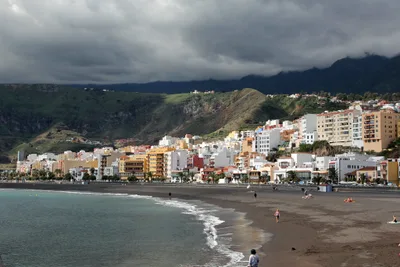
The Mirador de la Trinchera, just under two kilometres away, rewards a short detour with elevated views over the south coast. Playa de Santiago, three kilometres along the coast, is the area's main hub beach and has a working fishing harbour worth a wander. For something more dramatic, Parque Nacional de Garajonay — a UNESCO-listed laurisilva cloud forest — sits about 12 kilometres inland at the island's centre and is one of the Canary Islands' genuine natural highlights.
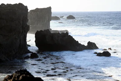
Stand at the water's edge and shoot back toward the volcanic cliff walls for a frame that looks almost prehistoric — the dark sand and pebbles in the foreground add texture.
The banana field track leading down to the beach gives a rare agricultural-meets-coastline composition that you won't find on the island's more visited shores. Early morning, before any visitors arrive, the crystal-clear water against the dark shoreline is at its most photogenic.
Where to eat
Club Laurel is the closest option at under a kilometre away, followed by Bar Tarajal at 0.5 kilometres. For a sit-down meal, Bar Restaurant Casanova and Bodegon del Mar are both within 1.5 kilometres of the beach. Pack a picnic if you plan to stay all day — there's nothing to eat on the beach itself.
Where to stay
Pensión La Gaviota is the nearest place to stay, about 1.5 kilometres from the beach — a practical base if you want to be close. Further afield, Torre del Conde and La Colombina are both around 9.5 kilometres away in San Sebastián de La Gomera, offering more options in the island's main town.
Photography
The eroded volcanic cliffs make a striking natural frame — shoot from the waterline looking back toward the cliffs and banana fields in the soft light of early morning. Late afternoon light warms the dark sand and pebbles beautifully, and with so few visitors around, you'll rarely need to wait for a clean composition.
Good to know
There are no facilities and no lifeguard on site, so bring everything you need — water, sun protection, and a first-aid kit. The dirt access track can become impassable after heavy rain; if there's been recent rainfall, call ahead or check local conditions before committing to the drive. The pebble shore and rough track make wheelchair access impractical. Swimming is rated moderate, so assess conditions on arrival and exercise caution, especially if the sea looks unsettled.
Map
Nearby places
Club Laurel
Bar Tarajal
Bar Restaurant Casanova
Orone
Bodegon del Mar
Pensión La Gaviota
Hotel El Cabrito
Torre del Conde
La Colombina
Hotel Sonia
Things to see around San Sebastián de La Gomera
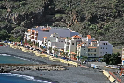
Playa de Santiago
South coast's main hub beach with working fishing harbour
Jardín Tecina
Clifftop resort with panoramic south-coast views
Parque Nacional de Garajonay
UNESCO-listed laurisilva cloud forest at the island's centre
Frequently asked
The information on this page is provided for guidance only and may evolve. Access conditions, safety and infrastructure can change without notice. Always check official sources before traveling.
Nearest beaches
Other relaxed beaches in Canary Islands
More beaches in Canary Islands
Reviews of this beach
- No reviews yet, what a shame — leave yours and share your experience.
Photo credits
Sources and licenses for the photos shown above.
- Photo 1 — Tony Hisgett from Birmingham, UK · source · CC BY 2.0
- Photo 2 — Reinhard Link from Germany · source · CC BY-SA 2.0
- Photo 3 — Waielbi · source · CC BY-SA 3.0
- Photo 4 — ahisgett · source · CC BY 2.0