Vueltas BeachSpain Beach Guide
Black volcanic pebbles, blue water, fresh fish daily
About
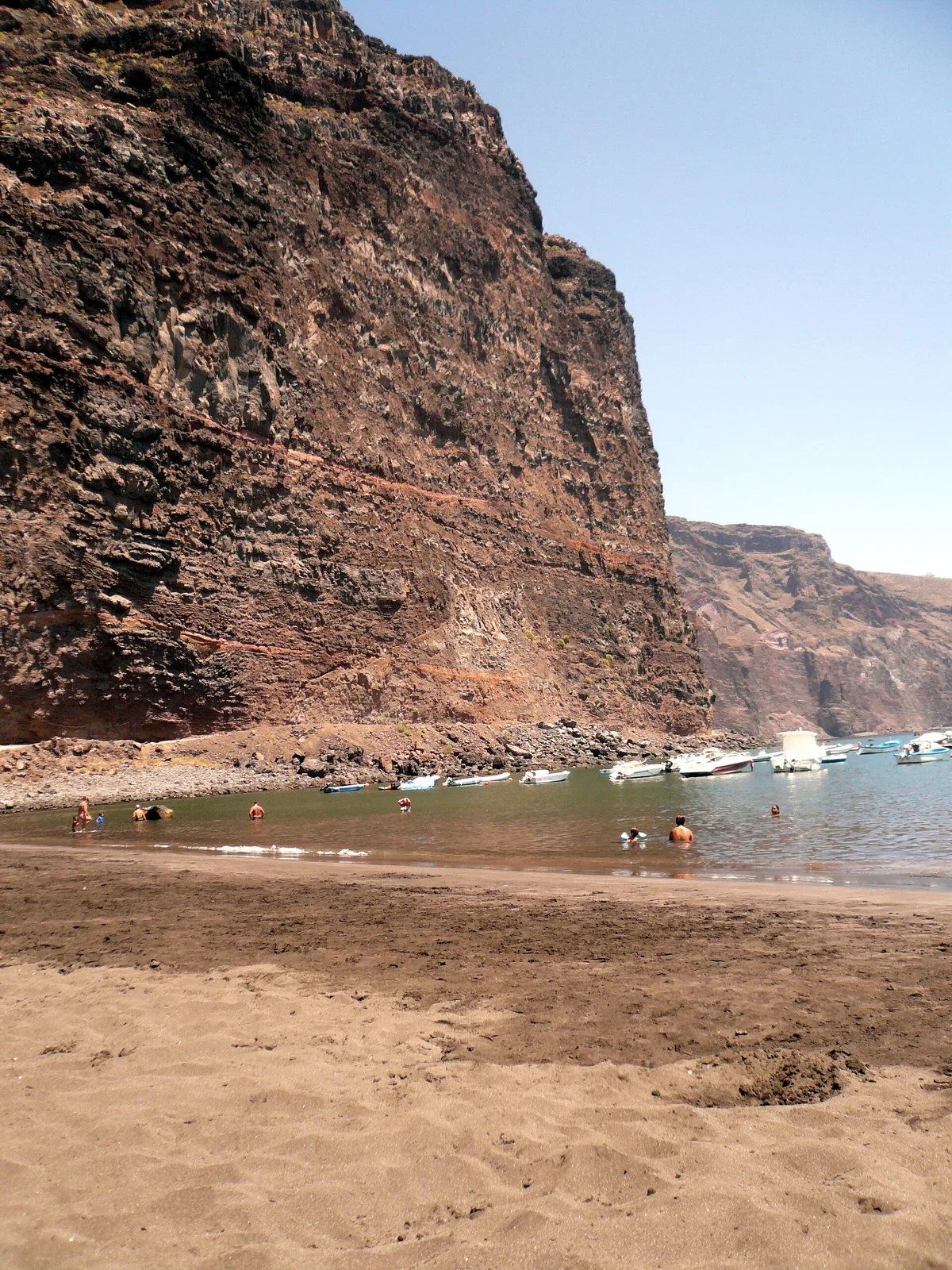
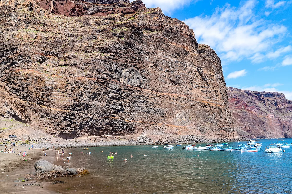
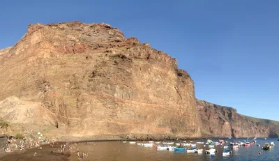
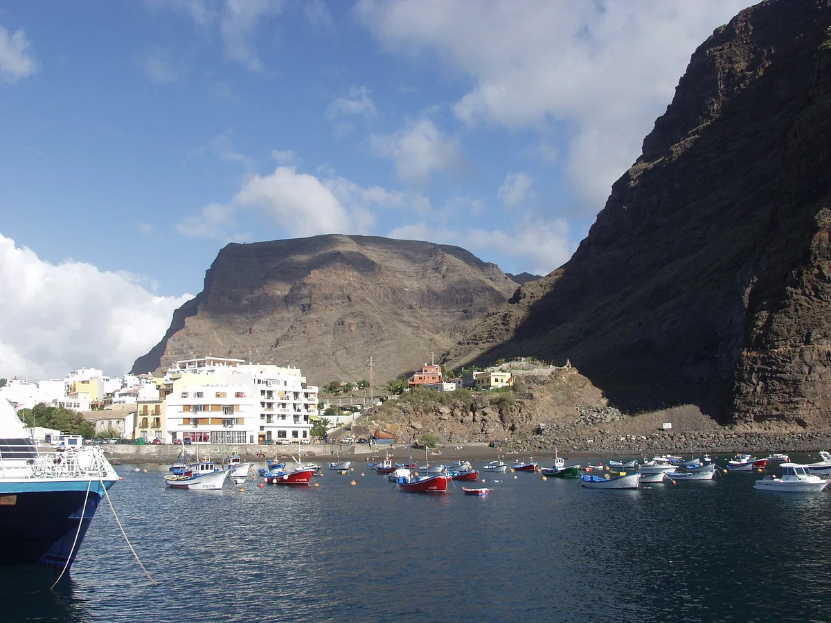
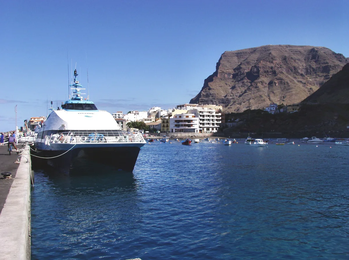
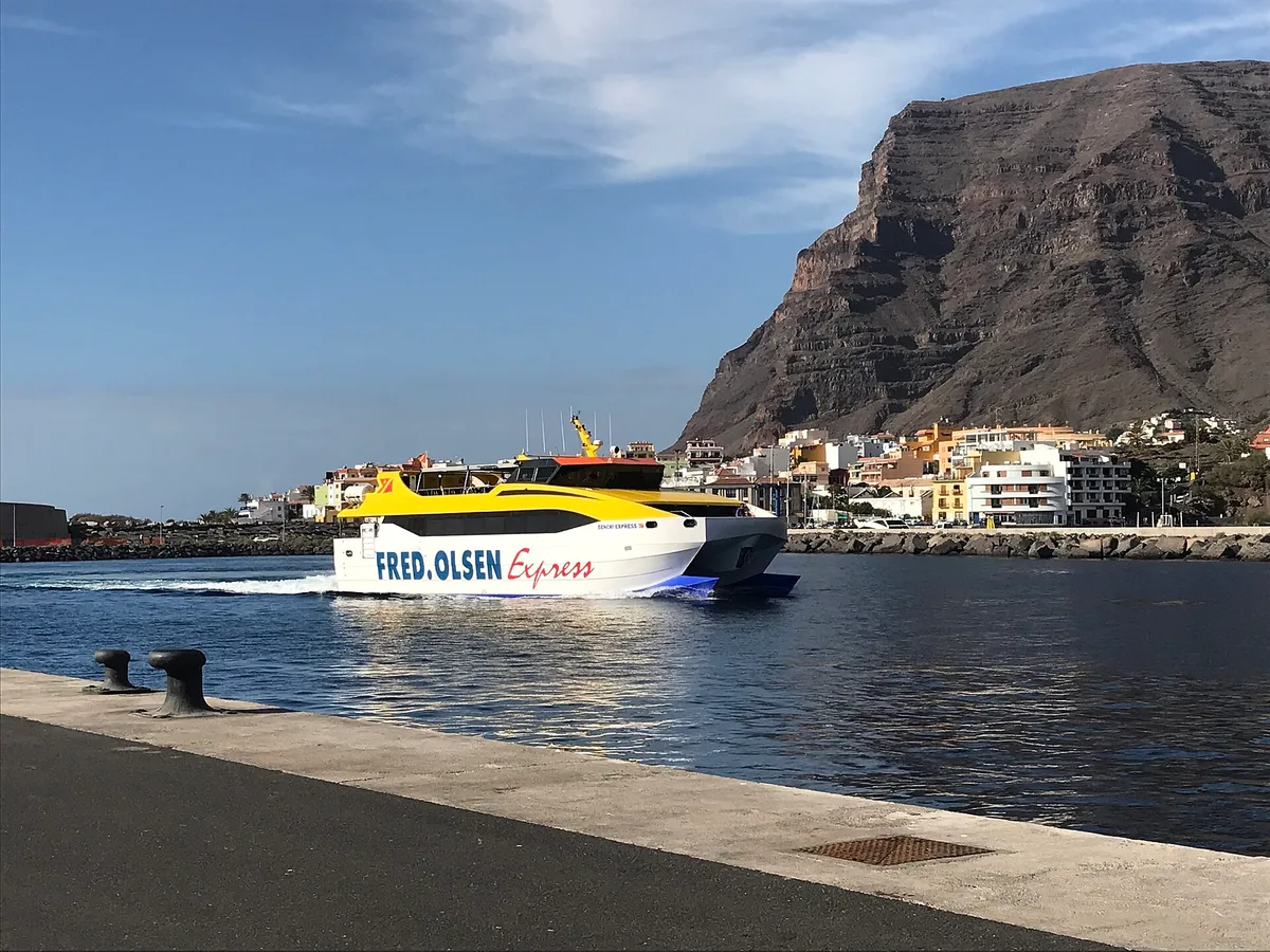
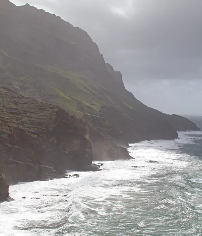
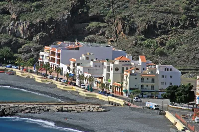
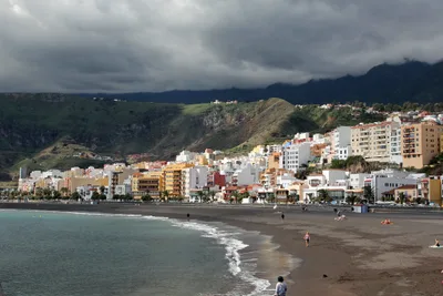
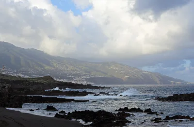
Playa de Vueltas sits at the mouth of Valle Gran Rey on La Gomera, one of the quieter Canary Islands, where the Atlantic meets a working fishing harbour. The beach is compact — around 150 metres of black volcanic sand — backed by the hum of boat engines and the smell of salt air. Water here runs a clear, open blue, and local swimmers use it year-round, a reliable sign of genuinely safe conditions. The ferry pier sits right alongside, so arriving by boat from Tenerife, you step off and the beach is practically under your feet. It's relaxed, unpretentious, and very much a living harbour beach rather than a resort strip.
How to get there
The easiest approach is by ferry from Los Cristianos, Tenerife — a daily crossing of about 105 minutes that drops you steps from the beach. If you're already on La Gomera, the drive from San Sebastián de La Gomera takes around 60 minutes. Parking is available near the ferry terminal and is shared with harbour users, so spaces fill up during peak ferry arrivals — arrive early or walk from nearby accommodation. There's no entry fee.
Who it's for
For couples
The relaxed harbour vibe, fresh-fish dinners within steps of the water, and easy access to the Valle Gran Rey viewpoints make this a low-key, genuinely local escape for two. It's not a sunset-cocktail-bar beach — it's better than that.
For families
Safe swimming conditions and easy access make Playa de Vueltas manageable with children, though parents should keep younger kids well away from the active pier and boat traffic zone. The pebble shore means bare feet are uncomfortable, so pack water shoes for the little ones.
Our take
Playa de Vueltas doesn't pretend to be a postcard beach, and that's exactly why it works. Swimming is safe, the water is a clean open blue, and the dark volcanic pebble shore has a raw, honest character you won't find on a resort strip. The ferry connection from Tenerife makes it genuinely easy to reach without a flight, and arriving by boat — stepping off directly into a working fishing harbour — sets the tone immediately. The restaurants within 200 metres serve the kind of fresh fish that justifies the whole trip. Stay aware of boat traffic near the pier, keep water shoes in your bag, and don't expect manicured sand. What you get instead is a real Canarian harbour village that happens to have a swimmable beach attached.
What to do
The island's most famous black sand beach, Playa de Valle Gran Rey, is just 1 kilometre away — worth the short walk to compare the two. Above the valley, Mirador del Santo delivers panoramic views over the Valle Gran Rey ravine at 3 kilometres out. Further afield, Parque Nacional de Garajonay — a UNESCO-listed laurisilva cloud forest at La Gomera's centre — is under 10 kilometres away and a genuinely different world from the coast.
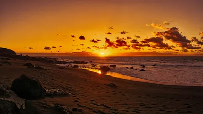
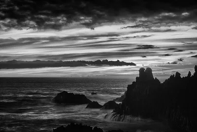
The ferry pier framing the blue Atlantic with dark volcanic pebble in the foreground is the defining shot — best at golden hour before the midday ferry traffic.
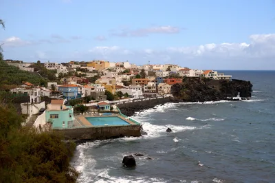
The harbour-side fish restaurants with their weathered facades and moored boats make a strong second frame. From the promenade looking back toward the valley walls, the contrast of volcanic rock, blue water, and village rooftops is worth the angle.
Where to eat
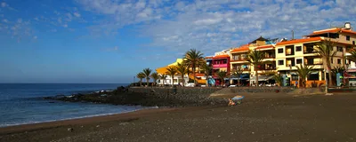
Cofradía de Pescadores, the local fishermen's cooperative restaurant, sits 0.1 kilometres from the beach and is the obvious first stop for fresh catch. La Bocana and Esperanto are also within 0.1 kilometres, offering local and broader Mediterranean options. El Puerto rounds out the harbour-side choice at 0.2 kilometres, keeping the theme firmly on seafood and regional cooking.
Where to stay
Apartamentos Charco del Conde is the closest listed option at 0.05 kilometres, with Paraíso del Conde and Punta Marina both within 0.8 kilometres of the beach. AP Villa Aurora appears at both 0.8 and 0.9 kilometres, suggesting multiple units or buildings — worth checking directly for availability.
Photography
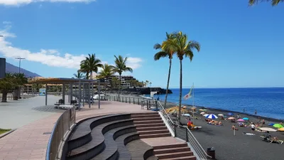
Shoot from the harbour promenade in the early morning, when the blue water catches low light against the dark volcanic pebble and the fishing boats are still at rest. Late afternoon works well too — the ferry pier in the background gives the scene a working-harbour depth that separates it from standard beach shots.
Good to know
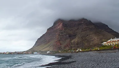
Stay clear of the water immediately adjacent to the pier — boat traffic moves through that zone regularly and it's a genuine hazard, not a minor footnote. The pebble shore is uneven underfoot, so water shoes make a real difference here. The harbour promenade is accessible on foot, but the pebble beach itself is not wheelchair friendly. Summers from June to September bring the most settled weather, but the beach draws local swimmers all year.
Map
Nearby places
Cofradía de Pescadores
Esperanto
La bocana
Tuyo
El Puerto
Apartmentos Charco del Conde
AP Villa Aurora
Punta Marina
Paraiso del Conde
AP Villa Aurora
Riscos de La Mérica
Valle Gran Rey View
Mirador de la curva del Queso
Playa de Valle Gran Rey
Mirador del Santo
Parque Nacional de Garajonay
Things to see around Valle Gran Rey
Playa de Valle Gran Rey
The island's most famous black sand beach at the ravine mouth
Mirador del Santo
Panoramic viewpoint over the Valle Gran Rey ravine
Parque Nacional de Garajonay
UNESCO-listed laurisilva cloud forest at the island's centre
Frequently asked
The information on this page is provided for guidance only and may evolve. Access conditions, safety and infrastructure can change without notice. Always check official sources before traveling.
Nearest beaches
Other relaxed beaches in Canary Islands
More beaches in Canary Islands
Reviews of this beach
- No reviews yet, what a shame — leave yours and share your experience.
Photo credits
Sources and licenses for the photos shown above.
- Photo 1 — El Renzo · source · CC BY 3.0
- Photo 2 — dronepicr · source · CC BY 2.0
- Photo 3 — conor.mcdermottroe · source · CC BY-ND 2.0
- Photo 4 — Gomera-b · source · CC BY-SA 3.0
- Photo 5 — Gomera-b · source · Public Domain
- Photo 6 — Patrick1977 · source · CC BY-SA 4.0