
Penthièvre BeachFrance Beach Guide
Two coasts, one isthmus — wild Atlantic meets calm bay
About
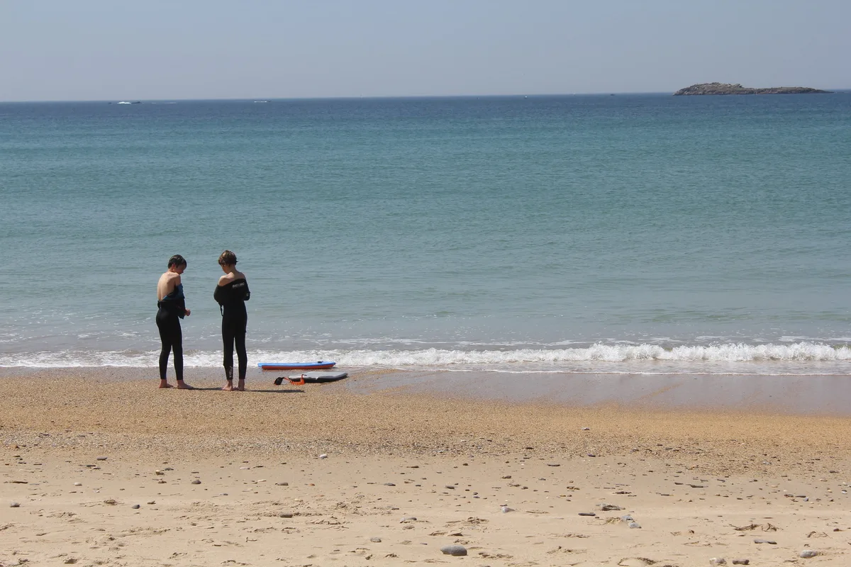
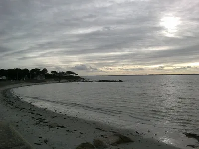
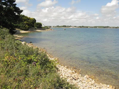
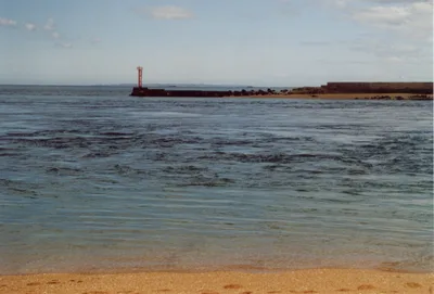
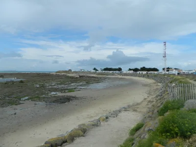
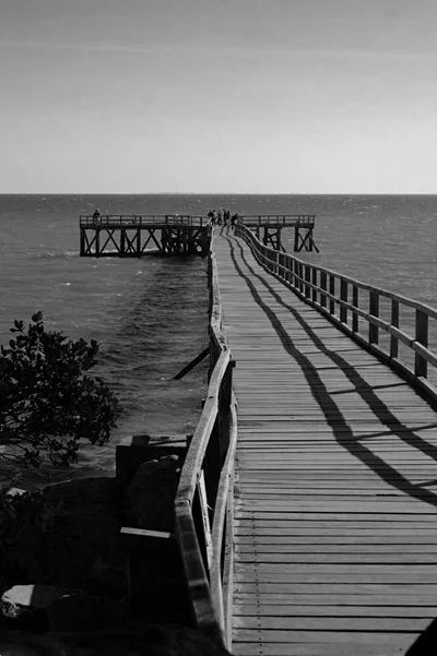
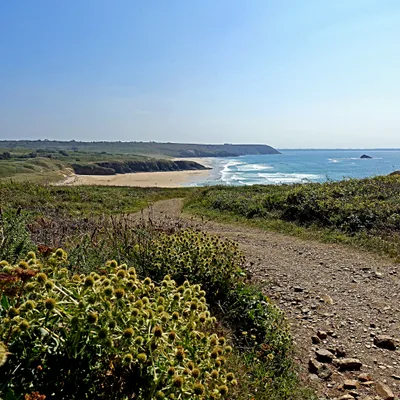
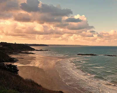
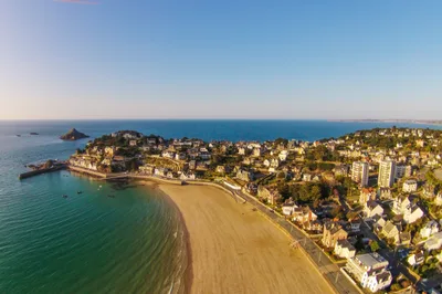
Plage de Penthièvre sits on a narrow isthmus at the gateway to the Quiberon peninsula in Morbihan, Brittany — one of the most geographically dramatic beach settings in France. On your west side, the open Atlantic delivers rolling swells onto white sand; on your east side, a sheltered bay offers calm blue water and flat access. A road literally crosses between the two beaches, so you can switch coasts in under a minute. The wild vibe is real: wind-sculpted dunes, salt in the air, and the silhouette of Fort de Penthièvre watching over the narrowest pinch of land. Dogs are welcome, the sand is white, and the water runs a deep Atlantic blue.
How to get there
From Auray or Quiberon by car takes around 20 minutes, with free roadside parking available near the peninsula entrance — note that some restrictions may apply for campervans. A seasonal train runs from Auray in summer, and the beach is easily reached by bicycle along the Quiberon peninsula. Access to the east-side bay is flat and straightforward; the west-facing Atlantic side is more exposed and requires a short walk across the isthmus road.
Who it's for
For couples
The isthmus walk at dusk — Atlantic on one side, calm bay on the other — is quietly spectacular, and Fort de Penthièvre adds a layer of history that makes the visit feel like more than just a beach day.
For families
The east-side bay offers flat, calm water and easy beach access, making it the practical choice for families with young children; dogs are welcome too, so four-legged members of the family aren't left behind.
Our take
Plage de Penthièvre earns its reputation on geography alone — very few beaches in France let you stand on a strip of land with two completely different seas on either side of you. The west side is wild and exposed; treat it with respect, check swell conditions, and don't underestimate Atlantic water. The east bay is where you swim, relax, and let the kids loose. Fort de Penthièvre and the Carnac megaliths nearby mean this isn't just a beach stop — it's a full day of Breton history and landscape. Come in June or September to avoid the peak summer rush and catch the peninsula at its most atmospheric. Skip winter entirely.
What to do
Fort de Penthièvre, just 0.2 km away, is an 18th-century military fort at the narrowest point of the isthmus and a sobering WWII resistance memorial — worth the short walk. The Côte Sauvage de Quiberon begins just 2 km south, where dramatic Atlantic cliff formations make for a striking coastal walk. Further afield, the Mégalithes de Carnac — the world's largest Neolithic standing stone complex — are only 5.6 km away and genuinely unmissable. For a lighter afternoon, the Petit train des Alignements at 4.5 km offers a scenic tour of the megalith fields.
The isthmus road crossing is your hero shot — stand at the midpoint and capture both coastlines in one frame, ideally at golden hour when the Atlantic side glows.
Fort de Penthièvre at 0.2 km gives you dramatic stone architecture against open sky, and the white sand curving toward the blue bay on the east side photographs cleanly in morning light.
Where to eat
Ty Mouss'Bar is the closest option at 2.4 km, good for a post-beach drink or snack. Le Sinko at 3.2 km and Chez Fab at 3.6 km — a crêperie, because you're in Brittany — round out the nearby choices. La cabane à Jo and L'Aigue Marine are both within 4 km if you want a sit-down meal after a long beach day.
Where to stay
L'Auberge du Petit Matelot is right on your doorstep at 0.3 km — as close to the beach as it gets. Les Deux Mers at 0.4 km is another solid nearby option, and the name alone hints at the dual-coast setting. For more space or a family-style setup, Centre de vacances Keravel at 6.5 km or Naéco Erdeven at 10.5 km are worth considering.
Photography
Shoot the isthmus from the road crossing at golden hour — the contrast between the Atlantic swell on one side and the calm blue bay on the other in a single frame is the defining shot of Penthièvre. Fort de Penthièvre at 0.2 km photographs beautifully in morning light, its stone silhouette sharp against the sky.
Good to know
The west-facing side is directly exposed to Atlantic swells — always check surf and swell conditions before entering the water there, and exercise real caution outside supervised zones. Dogs are allowed on the beach, though standard rules apply near any supervised swimming areas. June through September gives you the best weather; avoid November through February when Atlantic storms make the west side genuinely dangerous and unpleasant. The east bay is your safest bet for a calm swim, especially with children.
Map
Nearby places
Ty Mouss'Bar
Le Sinko
Chez Fab
La cabane à Jo
L'Aigue Marine
L'Auberge du Petit Matelot
Les Deux Mers
Centre de vacances Keravel
Naéco Erdeven
Hôtel du Golf de Saint-Laurent
Things to see around Saint-Pierre-Quiberon
Fort de Penthièvre
18th-century military fort at the narrowest point of the Quiberon isthmus, site of WWII resistance executions.
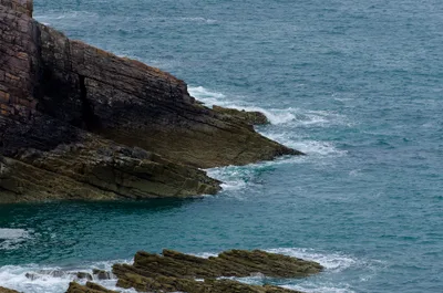
Côte Sauvage de Quiberon
Wild Atlantic cliff coast on the western side of the Quiberon peninsula with dramatic rock formations.
Mégalithes de Carnac
World-famous Neolithic standing stone alignments, the largest such complex in the world.
Frequently asked
The information on this page is provided for guidance only and may evolve. Access conditions, safety and infrastructure can change without notice. Always check official sources before traveling.
Nearest beaches
Other wild beaches in France
More beaches in Brittany
Reviews of this beach
- No reviews yet, what a shame — leave yours and share your experience.
Photo credits
Sources and licenses for the photos shown above.
- Photo 1 — Jean-François Gornet from Paris, France · source · CC BY-SA 2.0
- Photo 2 — jfgornet · source · CC BY-SA 2.0
- Photo 3 — jfgornet · source · CC BY-SA 2.0
- Photo 4 — jfgornet · source · CC BY-SA 2.0
- Photo 5 — jfgornet · source · CC BY-SA 2.0
- Photo 6 — Sunfox · source · CC BY-SA 2.0