Lostmarc'h BeachFrance Beach Guide
Wild Breton cove behind dark schist cliffs — earn it

About
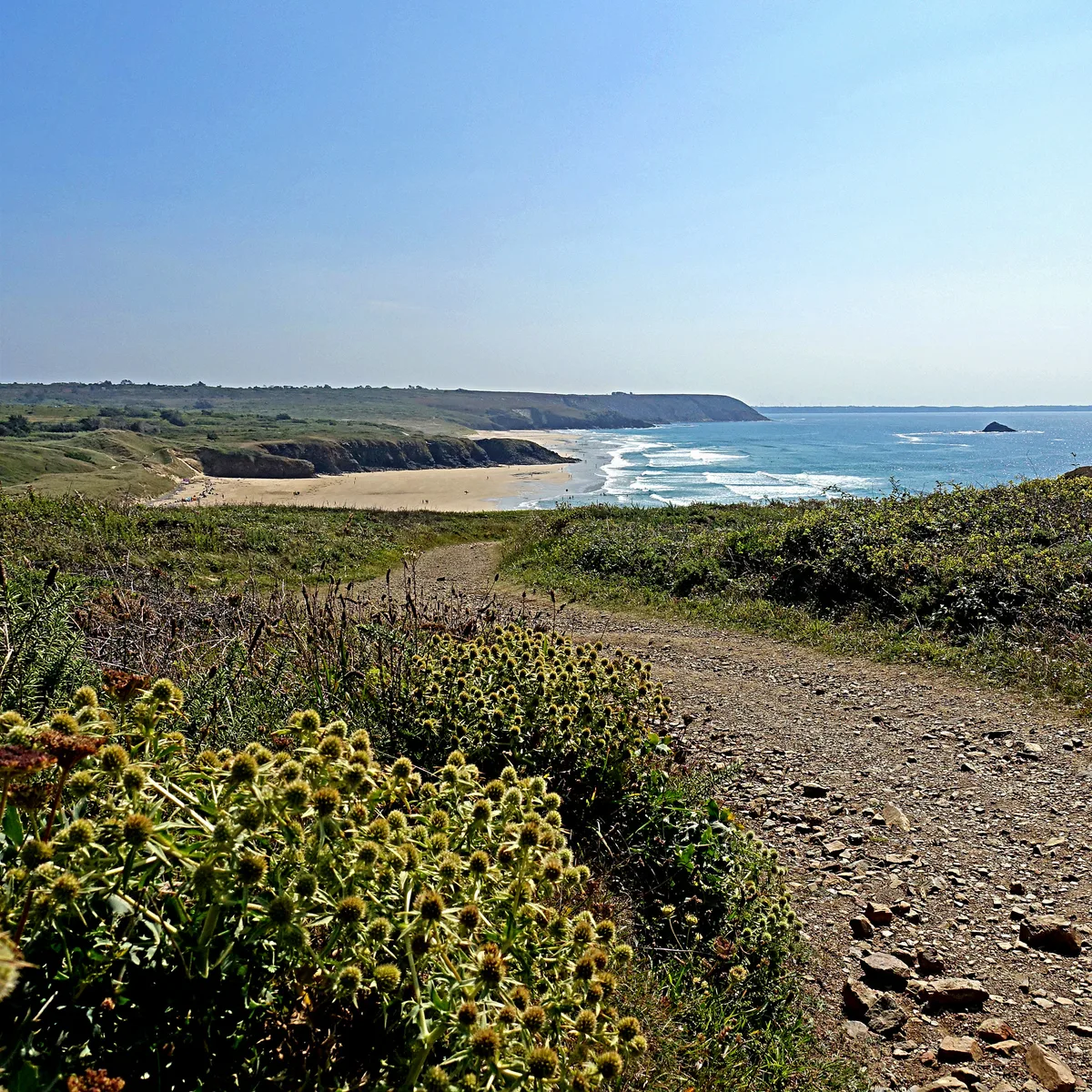
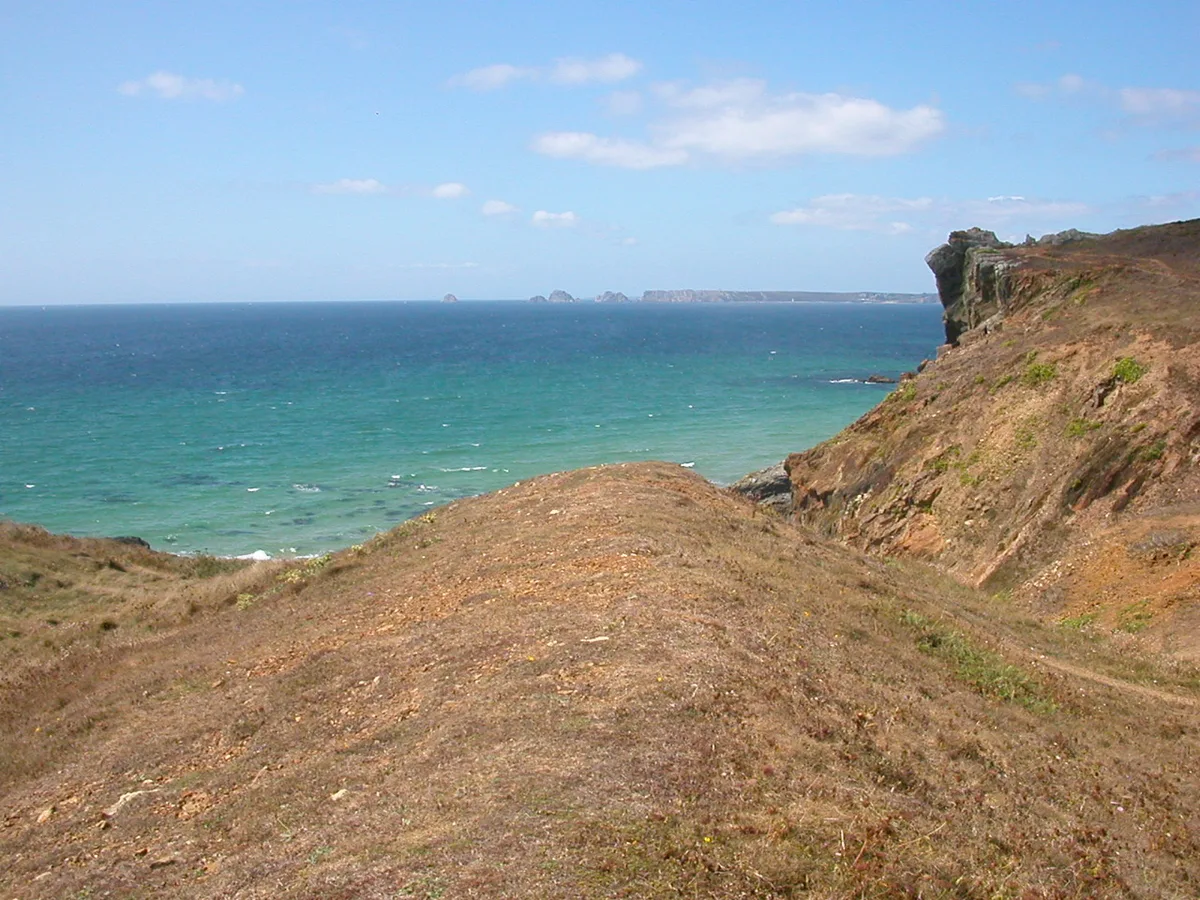
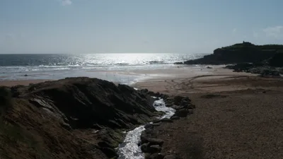
Plage de Lostmarc'h is a raw, compact cove on the Crozon peninsula in Brittany, tucked beneath towering walls of dark schist that drop almost vertically to grey sand below. The Atlantic pushes crystal-clear water into this natural hollow with force, and the swell here is unrelenting — beautiful to watch, genuinely dangerous to enter. Sitting within the Parc Naturel Régional d'Armorique, the beach sees almost no visitors, not because it's unknown, but because the cliff path keeps the uncommitted away. No sunbeds, no snack bar, no signal — just wind, rock, and the sound of the ocean doing what it wants.
How to get there
Drive to the hamlet of Lostmarc'h and leave your car in the small free car park there — spaces are limited, so arrive early in summer. From the car park, a foot-only cliff path leads down to the beach in around 20 minutes. There is no other way in: no road access, no shortcut. The path has steep sections and becomes dangerously slippery after rain — wear proper footwear.
Who it's for
For couples
If you and your partner are comfortable on rough terrain and happy with genuine solitude, this is about as private as a Breton beach gets — grey sand, sheer dark cliffs, and almost certainly no one else around. Pack a picnic and treat the 20-minute hike as part of the experience.
For families
Not suitable for young children or anyone with limited mobility — the cliff path has steep sections, there are no facilities whatsoever, swimming is dangerous, and there is no mobile signal in an emergency. Families with older, experienced hikers can visit safely if they stay well back from the water's edge.
Our take
Do not come here expecting a beach day in any conventional sense — swimming is dangerous, there are no facilities, and your phone won't work. Come instead for one of the most visually striking and genuinely wild coves on the Crozon peninsula, where dark schist cliffs, grey sand, and crystal-clear Atlantic water combine into something that feels completely unmediated. The 20-minute hike is non-negotiable and the path demands respect, particularly in wet weather. Stick to June through September, wear proper footwear, and tell someone where you're going before you lose signal. Worth the effort for experienced walkers who want a Breton coast experience with no infrastructure between them and the Atlantic.
What to do
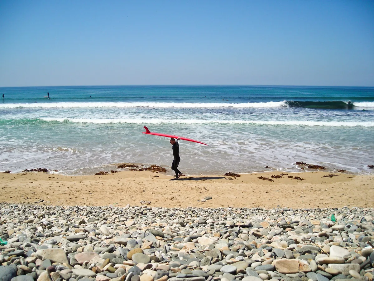
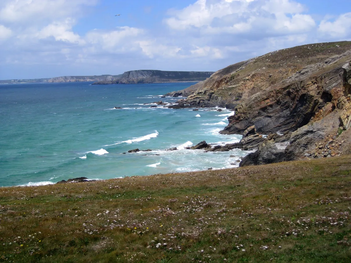
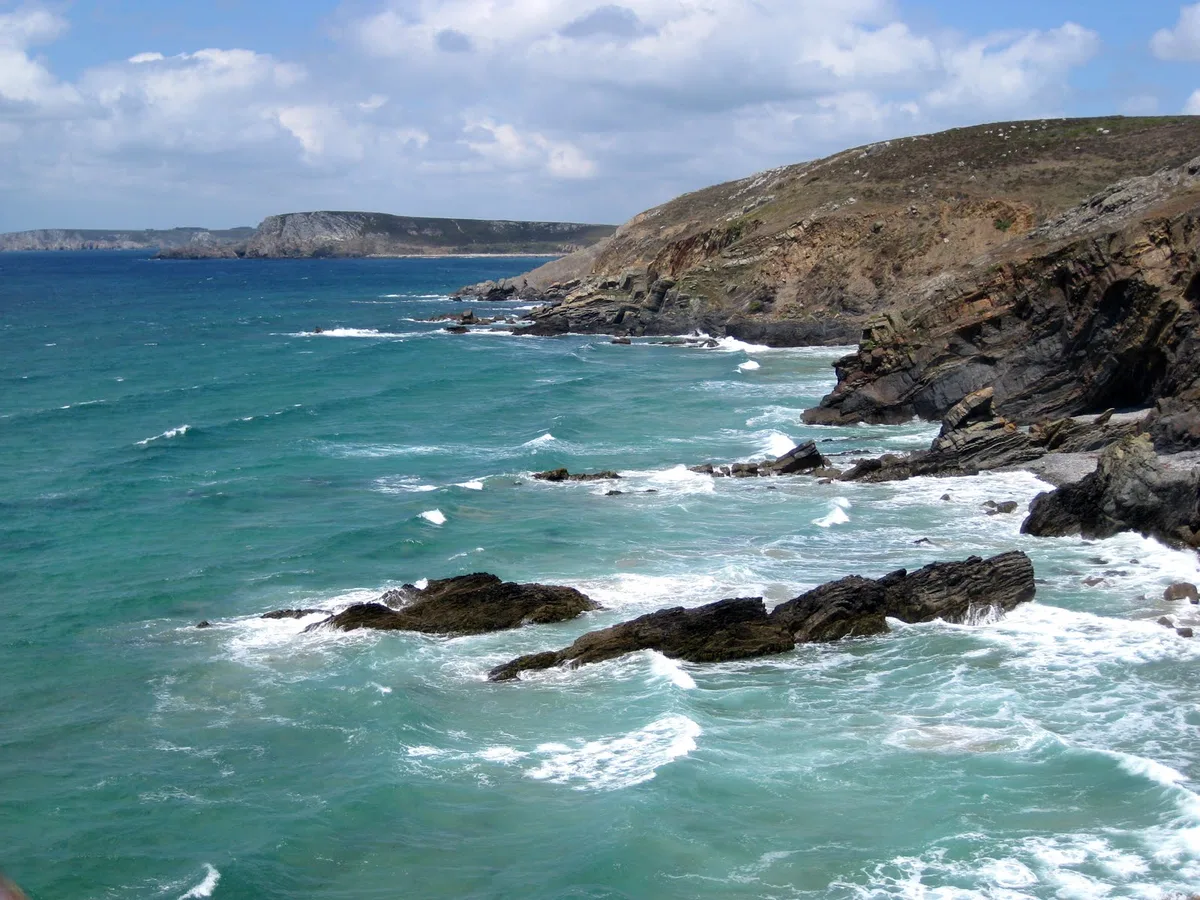
The dramatic rock arch and headland at Pointe de Dinan, just 2.7km away, is a natural complement to a visit here — the geology tells the same schist-and-sea story on a grander scale. Plage de la Palue, 4km away, is a wild surf beach on the Crozon peninsula worth seeing if you want to watch the Atlantic at work from a safer vantage. For the most spectacular views on the peninsula, Pointe de Pen-Hir — 7.1km away — delivers sea stacks, open ocean panoramas, and a WWII memorial that puts the landscape in historical context.
The cliff path descent offers a top-down view of the grey sand cove framed by near-vertical dark schist walls — shoot wide to capture the scale.
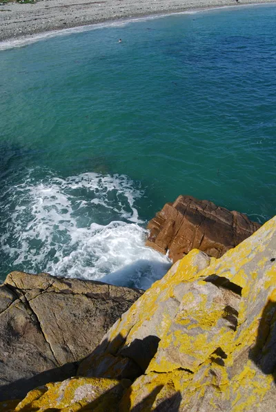
At beach level, the contrast between the crystal-clear Atlantic water and the dark geological formations makes for striking close-up compositions, especially in the soft light of a June or July morning.
Where to eat
L'Hermine, a French restaurant 2km from the beach, is your closest option after the hike back up. Hôtel Restaurant Julia (4km) and Bistrot Le 34 (4km) both offer sit-down meals within a short drive, and La Grange de Toul-Boss and Cantine et Canons are also within 4.1km if you want more choice. Pack a lunch — there is nothing at the beach itself.
Where to stay
Hôtel Restaurant Julia and Bistrot Le 34 both sit around 4km from the trailhead and combine a place to sleep with dinner on-site, which is convenient after a long day on the peninsula. For something larger, Hôtel Thalassa (8.5km) and Hostellerie de la Mer (9.2km) offer more amenity-focused stays further along the coast.
Photography
The best shots are from the cliff path looking down at the grey sand framed by dark schist walls — mid-morning light catches the crystal-clear water at its most vivid. At beach level, turn back toward the cliff face for a close-up of the layered schist geology with the Atlantic horizon behind you.
Good to know
There are zero facilities on the beach — bring everything you need, including water, food, and a fully charged phone (there is no mobile signal once you reach the cove). Do not enter the water: strong Atlantic swell creates dangerous swimming conditions and there is no lifeguard. Stay strictly on the marked path to protect the fragile cliff vegetation. Avoid visiting between October and March, when Atlantic storms make the beach inaccessible and the wet path becomes a serious hazard.
Map
Nearby places
L'Hermine
Hôtel Restaurant Julia
Bistrot Le 34
La grange de Toul-boss
Cantine et canons
Hôtel Restaurant Julia
Bistrot Le 34
Hôtel Thalassa
Hostellerie de la mer
Things to see around Crozon
Pointe de Dinan
Dramatic rock arch and headland on the Crozon peninsula.
Plage de la Palue
Wild surf beach on the Crozon peninsula, popular with surfers.
Pointe de Pen-Hir
Dramatic headland with sea stacks (Tas de Pois) and WWII memorial.
Frequently asked
The information on this page is provided for guidance only and may evolve. Access conditions, safety and infrastructure can change without notice. Always check official sources before traveling.
Other wild beaches in France
More beaches in Brittany
Reviews of this beach
- No reviews yet, what a shame — leave yours and share your experience.
Photo credits
Sources and licenses for the photos shown above.
- Photo 1 — pom'. · source · CC BY-SA 2.0
- Photo 2 — Kiaura · source · CC BY 2.0
- Photo 3 — Besenbinder · source · CC BY-SA 3.0
- Photo 4 — Besenbinder · source · CC BY-SA 3.0
- Photo 5 — Farz brujunet · source · CC BY-SA 3.0
- Photo 6 — jeanmariezanoni · source · Public Domain