Andrew Molera State Park BeachUnited States Beach Guide
Wild Big Sur coast where the river meets the sea
About
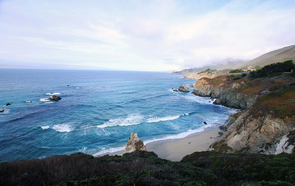
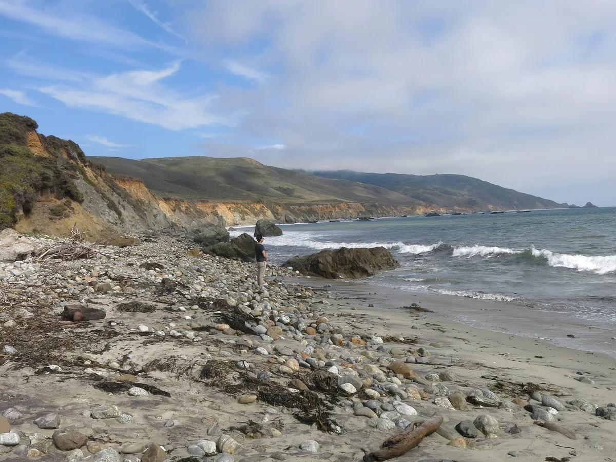
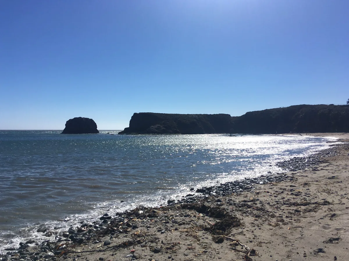
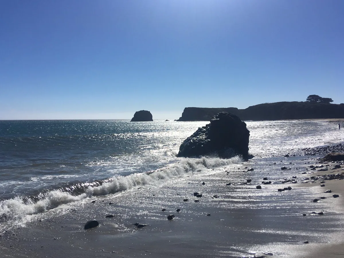
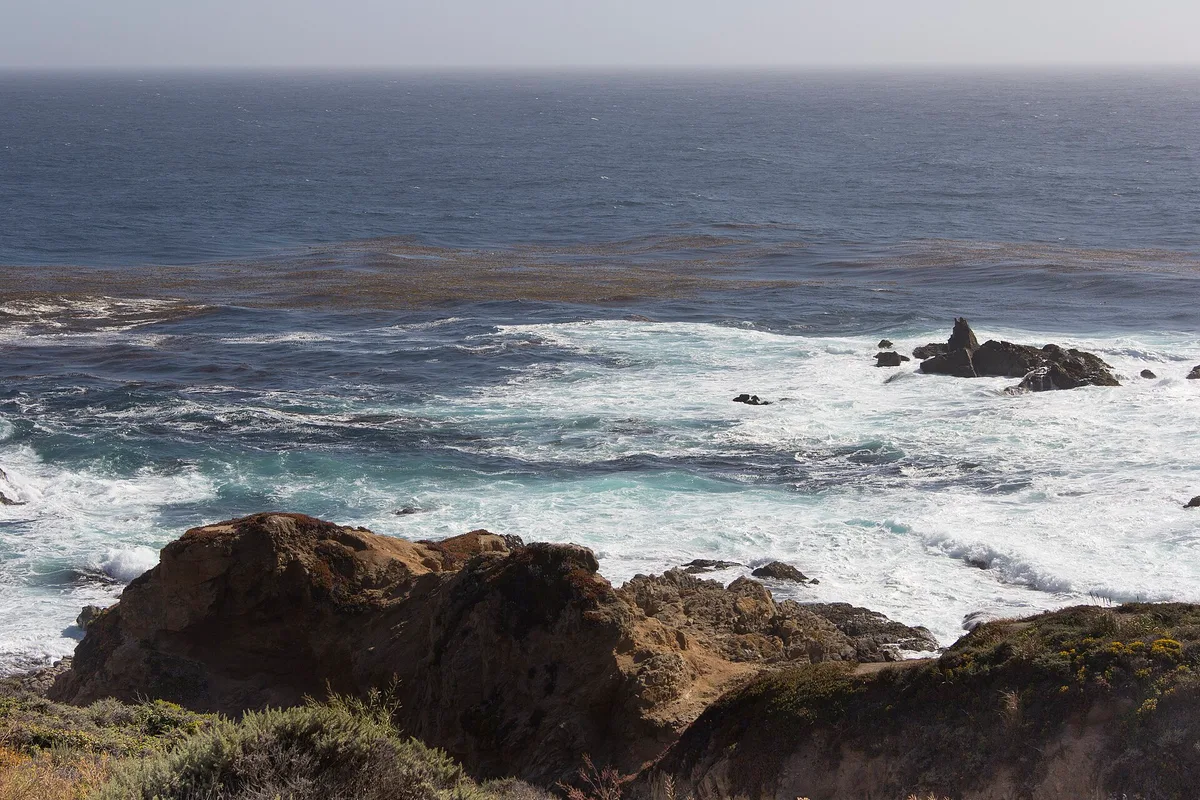
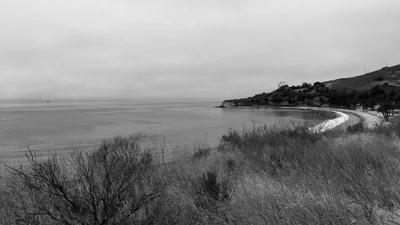
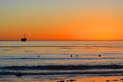
Andrew Molera State Park Beach sits at the mouth of the Big Sur River, where grey sand meets grey Pacific water in a raw, elemental landscape that feels genuinely untamed. Driftwood piles along the shore in sculptural heaps, shaped by winter swells and river floods. The beach is walk-in only — no road reaches it — which keeps it quiet and rewards those willing to make the effort. Franciscan Rocks punctuate the offshore view, and the surrounding coastal scrub hums with wind. This is Big Sur at its most unfiltered: no amenities, no services, just the sound of surf and river.
How to get there
Drive to Andrew Molera State Park on Highway 1 and park in the large dirt lot — paid parking costs $10 per car per day, and note that RVs and travel trailers are not permitted in this lot. From the parking area, a roughly 20-minute walk along an unpaved trail brings you to the beach; the trail includes a seasonal river crossing that can be knee-deep or higher in winter and spring. The $10 day-use entry fee is waived for California State Parks Pass holders; Disabled Discount Pass holders pay $5, Distinguished Veterans Pass holders enter free, and Senior Citizens receive $1 off. The park is open sunrise to sunset daily.
Who it's for
For couples
The walk-in access and quiet atmosphere make this a genuinely private stretch of coast — couples who enjoy a purposeful hike to reach somewhere that feels earned will find the driftwood-scattered shoreline and river mouth views hard to beat.
For families
Families with older children who can manage an unpaved trail and a seasonal river crossing will find the driftwood and river mouth fascinating to explore — but young children and toddlers should stay well back from the water given the strong shore break and sneaker wave risk, and dogs cannot come along.
Our take
Do not come here expecting a beach day in the conventional sense — swimming is strictly off the table, sneaker waves are a documented lethal hazard, and the shore break is genuinely dangerous. What Andrew Molera does offer is something rarer on the California coast: a wild, walk-in-only beach that most people simply won't make the effort to reach. The grey sand, the driftwood, the river mouth, the offshore rocks — it's a landscape that rewards photographers, hikers, and anyone who wants to stand somewhere that still feels unmanaged. Avoid January through March when the river crossing becomes a serious obstacle. Come in summer, walk the trail, respect the rules, and keep your feet dry at the water's edge.
What to do
Point Sur State Historic Park, just 7 miles away, offers guided tours of an 1889 lighthouse perched on a volcanic rock promontory — one of the most atmospheric stops on the coast. Pfeiffer Big Sur State Park, 3km from the trailhead, holds redwood groves, a river swimming hole, and an extensive trail network worth a half-day. If you have time, the hike to Pfeiffer Falls at 6.7km delivers old-growth scenery, and the rare Albino Redwood Tree at 5.5km is a genuinely unusual natural curiosity.
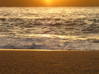
The driftwood accumulations along the grey sand shoreline create stark, sculptural foregrounds with the grey Pacific behind — shoot wide at low tide for maximum impact.
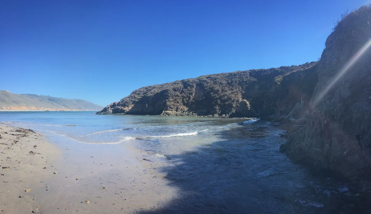
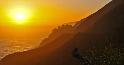
The Big Sur River mouth itself, where fresh water meets ocean, offers a dynamic landscape shot especially compelling in morning light when mist lingers over the water.
Where to eat
Big Sur Roadhouse, 4.7km away, is the closest option after your hike. Fernwood Grill at 5.5km covers pizza and burgers in a relaxed regional setting. For a longer drive, Nepenthe at 10.6km offers clifftop dining, and Rocky Point Restaurant at 14.1km rounds out the options with American, burger, and seafood menus — pack a lunch if you want to eat at the beach itself, as there are no on-site facilities.
Where to stay
Alila Ventana Big Sur, 10km from the park, is the closest lodging option — a high-end resort set in the Big Sur hills. Beyond that, accommodation along this stretch of Highway 1 is limited, so book well in advance, particularly for summer visits.
Photography
The Big Sur River mouth at golden hour frames grey water against driftwood-strewn grey sand for a moody, textured composition — arrive early morning for soft light and minimal visitors. Franciscan Rocks offshore provide a strong focal point from the beach's exposed northern sections, best captured at low tide when the foreground sand patterns are most defined.
Good to know
No dogs are permitted on the trails or beach, no fires are allowed on the beach, and camping on the beach itself is not permitted — a separate walk-in camp area exists within the park. Do NOT enter the water: strong shore break and sneaker waves have killed visitors on exposed sections of this coast — swimming is strictly prohibited. The river crossing is most hazardous from January through March, when stepping stones are removed seasonally and water levels can exceed knee depth; plan your visit between June and September for the safest and most stable conditions. The trail is unpaved with a river crossing and is not wheelchair accessible.
Map
Nearby places
Big Sur Roadhouse
Fernwood Grill
Nepenthe
Rocky Point Restaurant
Alila Ventana Big Sur
Pfeiffer Big Sur State Park
Bixby Creek Bridge
Point Sur State Historic Park
Things to see around Big Sur, Monterey County
Pfeiffer Big Sur State Park
Redwood groves, river swimming hole, and extensive trail network in the heart of Big Sur.
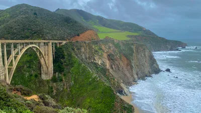
Bixby Creek Bridge
Iconic open-spandrel arch bridge on Highway 1, one of the most photographed structures in California.
Point Sur State Historic Park
1889 lighthouse on a volcanic rock promontory with guided tours available.
Frequently asked
The information on this page is provided for guidance only and may evolve. Access conditions, safety and infrastructure can change without notice. Always check official sources before traveling.
Nearest beaches
Other wild beaches in United States
More beaches in California Coast
Reviews of this beach
- No reviews yet, what a shame — leave yours and share your experience.
Photo credits
Sources and licenses for the photos shown above.
- Photo 1 — Pacific Southwest Region USFWS from Sacramento, US · source · Public Domain
- Photo 2 — Eschscholziacalifornicamaritima · source · CC BY-SA 4.0
- Photo 3 — sergei.gussev · source · CC BY 2.0
- Photo 4 — sergei.gussev · source · CC BY 2.0
- Photo 5 — sergei.gussev · source · CC BY 2.0
- Photo 6 — Henrique Pinto from Recife, Brazil · source · CC0