Tamatorizaki Observatory Lower Beach
A secret white-sand cove below Ishigaki's wildest viewpoint
About
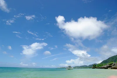
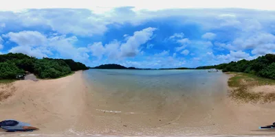
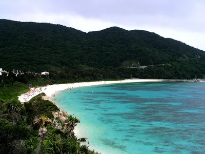
Tucked beneath the Tamatorizaki viewpoint on Ishigaki's northeast coast, this compact beach is one of the island's least-visited stretches of shoreline. White sand meets crystal-clear water in a cove so quiet you'll likely have it entirely to yourself. Getting here means pushing through bougainvillea scrub on an unmarked trail — no signs, no handrails, no facilities. The reward is exceptional water clarity and a raw, wild atmosphere that feels genuinely off the map. At roughly 80 metres long, it's intimate rather than expansive, but that's exactly the point.
How to get there
Drive from Ishigaki City to the Tamatorizaki viewpoint car park — about 45 minutes. Free parking is available at the viewpoint level above the beach; there is no parking at beach level. From the car park, follow the unmarked trail down through bougainvillea scrub for approximately 15 minutes to reach the sand. There are no signs marking the descent, so proceed carefully and use your own judgement.
Who it's for
For couples
The near-certain solitude and the effort required to get here make this a genuinely private escape — arrive mid-morning on a clear weekday and you'll have 80 metres of white sand and crystal-clear water entirely to yourselves.
For families
The unmarked, slippery trail descent and complete lack of facilities make this beach unsuitable for young children or anyone who needs easy access — families with older, sure-footed kids who can manage a 15-minute unmarked hike may find the seclusion rewarding, but come fully prepared with water and sun protection.
Our take
Feet in the sand, eyes on the screen
This is not a beach you stumble onto — it takes a deliberate decision, a 15-minute scramble down an unmarked trail, and a willingness to be entirely self-sufficient once you arrive. The payoff is real: white sand, water of exceptional clarity, and a near-total absence of other visitors. But go in clear conditions only. The trail is genuinely hazardous when wet, and with no shade, no water, and no facilities on the beach, poor preparation turns a great day into a difficult one fast. Avoid July through September entirely — typhoon season makes the descent unsafe. Time it right, pack well, and this quiet cove on Ishigaki's northeast coast delivers something increasingly rare: a beach that feels like it's actually yours.
What to do
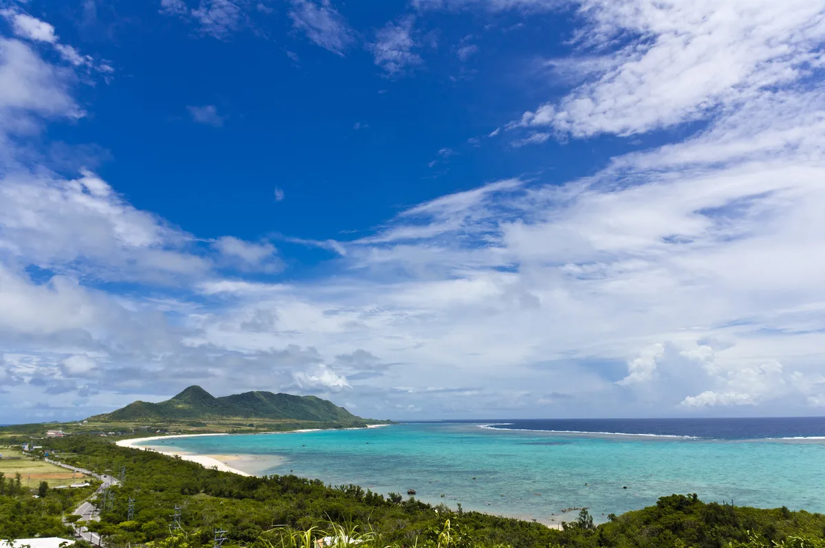
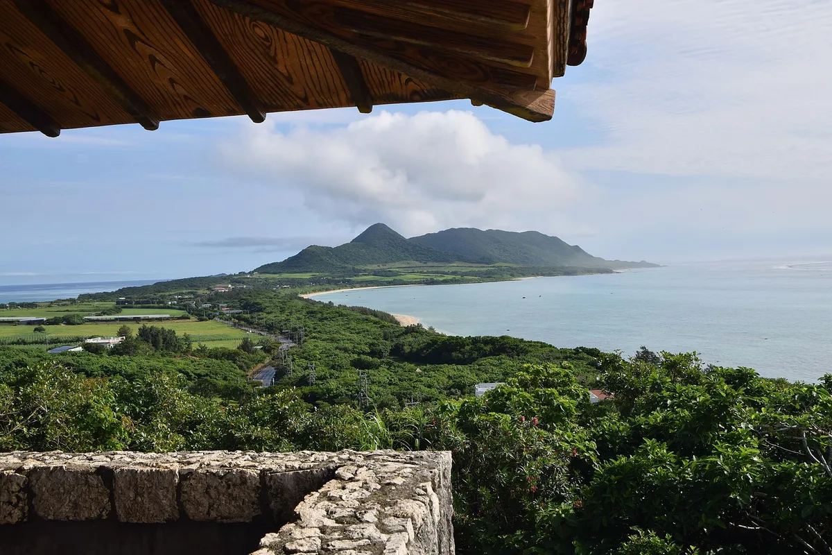
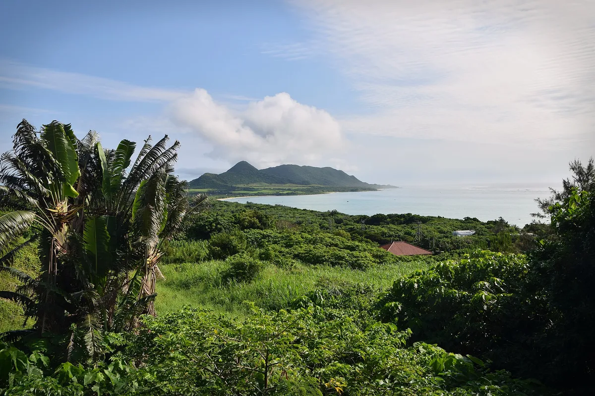
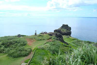
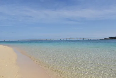
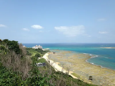
The Tamatorizaki Viewpoint, just 0.1 km above the beach, is worth lingering at before or after your descent — its bougainvillea gardens and panoramic views over the northeast coast are the reason most visitors stop here at all. About 2 km away, Ibaruma Beach offers a genuinely unusual natural feature: an isthmus strip where you can see two coastlines simultaneously. Further north, the Hirakubo Lighthouse at 14 km marks the northernmost tip of Ishigaki and makes a fine half-day extension.
Shoot from the Tamatorizaki Viewpoint looking down over the cove — the contrast of white sand, crystal-clear water, and untouched scrub is the defining frame.
On the beach, position yourself at the waterline and shoot back toward the bougainvillea-lined trail for a shot that shows just how wild the descent really is.
Where to eat
The closest option is Tamatorizaki Gateway, just 0.2 km from the viewpoint car park — a logical stop before or after the trail. For something more substantial, you'll need to head back toward Ishigaki City, where options like Setsukaya for Japanese food at 14.6 km and cafe YU-TO at 12.1 km are worth the drive. Pack your own lunch; there is nothing at beach level.
Where to stay
Ishigaki Sunset Cove Hotel, 5.3 km from the beach, is the nearest listed accommodation option. For a wider choice of hotels and guesthouses, Ishigaki City is your best base and keeps you within reach of the island's restaurants and transport links.
Photography
The strongest shots come from the Tamatorizaki Viewpoint above — shoot down toward the cove in the morning when the light hits the crystal-clear water at a low angle and the white sand glows. On the beach itself, frame the bougainvillea scrub framing the shoreline against the water for a composition that captures just how wild and unvisited this place feels.
Good to know
There is no signage on the trail and no official designation — you use this beach entirely at your own risk. The descent becomes dangerously slippery after rain, so check the forecast before you set off. Once on the beach, there is no shade whatsoever and zero facilities, so bring more water than you think you'll need. July, August, and September bring typhoon season with heavy rain and treacherous trail conditions — plan your visit between October and June for the safest experience.
Map
Nearby places
Tamatorizaki Gateway
beef burger
Yone Yashi
cafe YU-TO
Setsukaya
Ishigaki Sunset Cove Hotel
Hirakubozaki
Kabira Bay
Things to see around Ishigaki
Tamatorizaki Viewpoint
Hilltop viewpoint with bougainvillea gardens and panoramic northeast coast views.
Ibaruma Beach
Unique isthmus beach with dual-coast visibility.
Hirakubo Lighthouse
Lighthouse at the northernmost tip of Ishigaki.
Frequently asked
The information on this page is provided for guidance only and may evolve. Access conditions, safety and infrastructure can change without notice. Always check official sources before traveling.
Nearest beaches

More beaches in Ryukyu Islands
Reviews of this beach
- No reviews yet, what a shame — leave yours and share your experience.