Trá Mhór BeachIreland Beach Guide
White shell-sand, ancient forts, and Atlantic blue
About
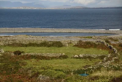
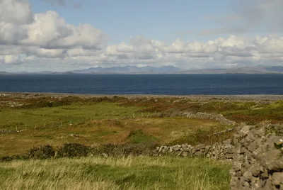
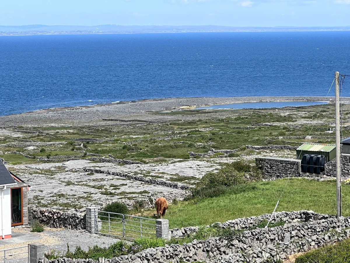
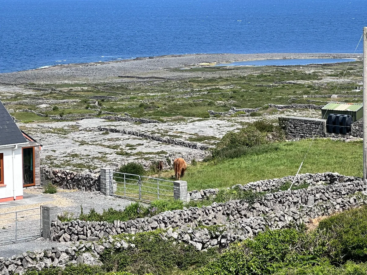
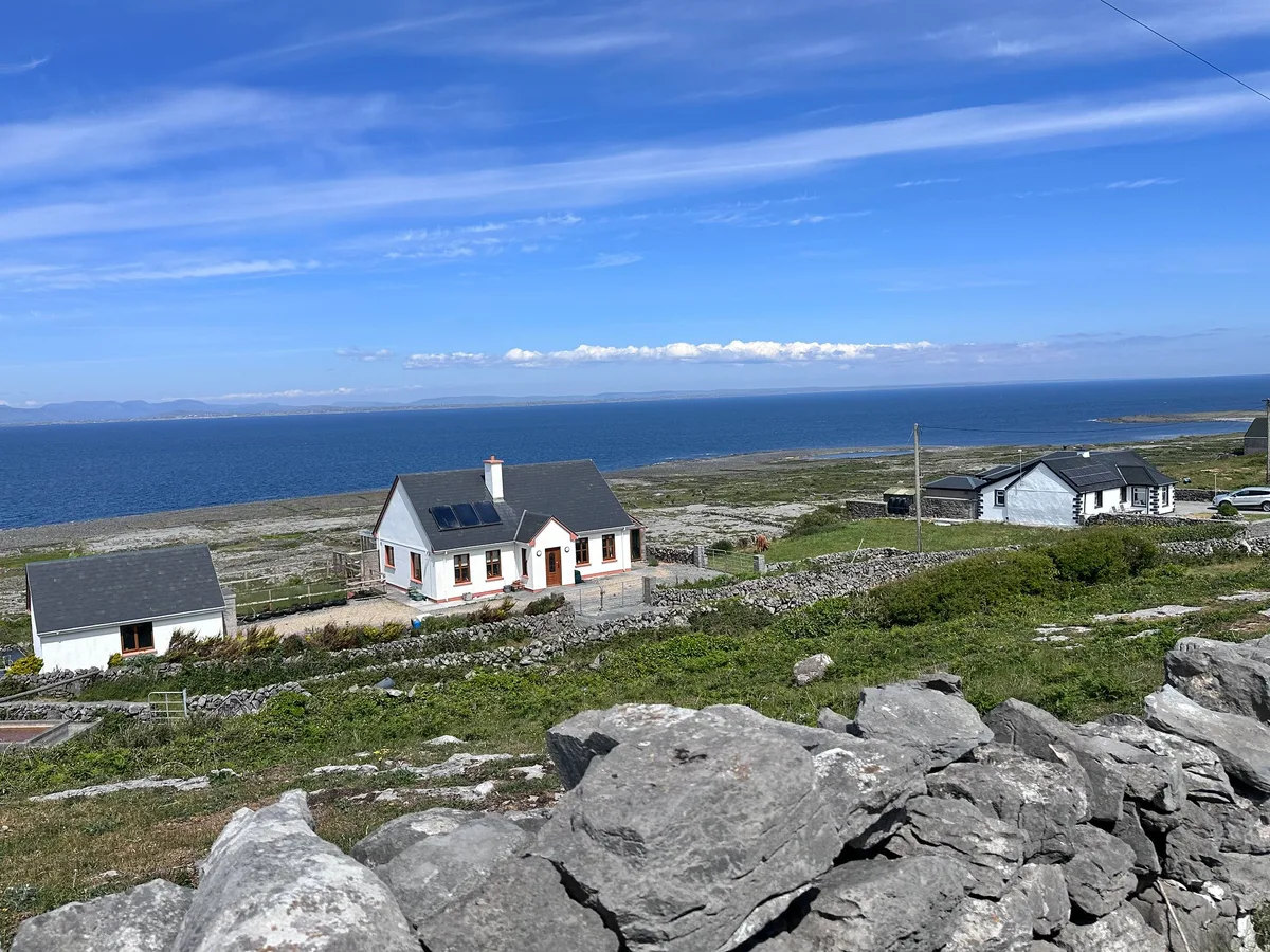
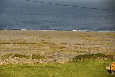
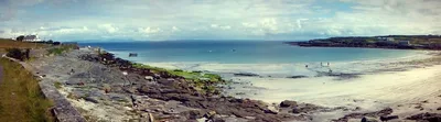
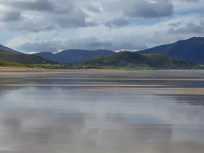
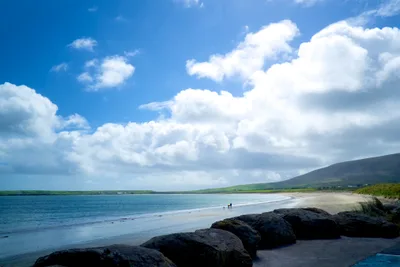
Trá Mhór stretches roughly 400 metres along a sheltered north-facing bay on Oileán Dá Bhranóg, one of the Aran Islands off the Galway coast. The sand here isn't ordinary beach sand — it's composed of crushed shells and maerl fragments, giving it a pale, almost luminous white underfoot. Blue Atlantic water laps the shore while the unmistakable silhouette of Dún Aonghasa fort watches from the ridge above. Dry stone walls divide the fields right down to the beach's edge, a pattern unchanged for centuries. It's a busy spot in summer, but the island's car-free landscape keeps the pace unhurried and the vibe genuinely relaxed.
How to get there
Trá Mhór is ferry-only — there are no roads for tourist cars on Inishmore. Sail from Rossaveel, Co. Galway (approximately 40 minutes, year-round service) or from Doolin, Co. Clare (approximately 35 minutes, seasonal). Once on the island, the beach is reachable on foot or by bicycle along the cycling route. There is no parking of any kind — leave the car at the mainland embarkation point.
Who it's for
For couples
The combination of a relaxed, car-free island, white shell-sand, and a prehistoric fort visible from the shoreline makes Trá Mhór a quietly romantic day out — cycle out together, swim if you're brave enough in that 16°C water, and walk up to Dún Aonghasa before the afternoon ferry visitors arrives.
For families
The sheltered north bay keeps wave energy manageable, and the flat cycling route from the ferry pier means kids can pedal to the beach without drama — just pack wetsuits, watch for jellyfish, and remind little ones not to pocket the shell-sand.
Our take
Trá Mhór earns its reputation honestly. The white shell-sand and blue water are the real thing, and the backdrop of Dún Aonghasa is genuinely hard to match anywhere on the Irish coast. Swimming is moderate — go in with eyes open about 16°C water and the possibility of jellyfish, neither of which is a reason to stay dry, but both are reasons to prepare. The ferry-only access is a feature, not a flaw: it keeps the island car-free and the pace slow, even when the beach is busy in July and August. Come in June or early September if you want the light without the peak-season ferry queues. This is a digital-detox beach in the fullest sense — no signal, no coworking café, no distractions. Bring a book, rent a bike, and give the place the full day it deserves.
What to do
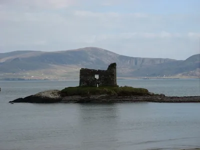
Dún Aonghasa, Ireland's most visited archaeological site, sits just 0.8 km from the beach — a prehistoric cliff-edge stone fort that rewards the short walk with extraordinary views. Further along the island, Dún Eochla is a well-preserved concentric ring fort on the central ridge, about 4.5 km away. The early medieval monastic complex of Teampall Bhreacáin, with its multiple church ruins, lies around 3 km from the shore near Kilmurvey. The cycling route that connects these sites passes close to Trá Mhór, making a bike the ideal way to link beach time with heritage exploration.
The classic shot is from the waterline looking inland: white shell-sand in the foreground, a dry stone wall cutting across the mid-ground, and Dún Aonghasa perched on the ridge above — shoot it in the soft light of early morning before the ferry arrivals.
For a second angle, position yourself at the western end of the bay where the field system meets the sand for a graphic, almost abstract composition of stone and shore.
Where to eat
Teach Nan Phaidi, roughly 2.7 km from the beach, is a well-regarded local option with a strong reputation built on hundreds of reviews. The Aran Seafood Cafe, also about 2.7 km away, is a smaller spot with an exceptional rating — worth seeking out for fresh island seafood. Píotsa Mex rounds out the options at the same distance if you fancy something different after a day on the sand.
Where to stay
Kilmurvey House, approximately 2.7 km from Trá Mhór, is the standout choice — a highly rated guesthouse that puts you within easy cycling distance of the beach and the main heritage sites. The Man of Aran Cottage, about 2.8 km away, offers a more intimate stay with a direct connection to the island's character and history.
Photography
Shoot from the beach looking south-east at golden hour for the dry stone wall field system framing the white shell-sand with Dún Aonghasa on the ridge behind — it's one of the most layered landscape compositions in the west of Ireland. Early morning light on the blue water before day-trip ferry arrivals gives you the cleanest, quietest frames.
Good to know
Water temperature rarely climbs above 16°C even at the height of summer, so a wetsuit makes a real difference if you plan to swim for more than a few minutes. Jellyfish can be present in the bay — check conditions before entering the water. Do not remove shell-sand or maerl fragments from the beach; it's a fragile, slow-forming habitat and removal is prohibited. The beach borders working farmland — close every field gate you open and keep dogs under control near livestock. True digital-detox territory: there's nowhere to plug in a laptop and cell signal is unreliable, so bring offline entertainment.
Map
Nearby places
Kilmurvey House
The Man of Aran Cottage
Kilmurvey Craft Village
Things to see around Iaraine
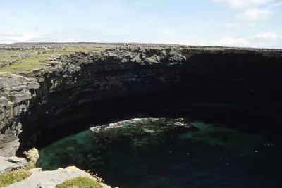
Dún Aonghasa
Prehistoric cliff-edge stone fort, Ireland's most visited archaeological site
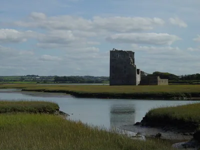
Dún Eochla
Well-preserved concentric ring fort on the island's central ridge
Teampall Bhreacáin
Early medieval monastic complex with multiple church ruins near Kilmurvey
Frequently asked
The information on this page is provided for guidance only and may evolve. Access conditions, safety and infrastructure can change without notice. Always check official sources before traveling.
Other beaches in the region
Other relaxed beaches in Ireland

Reviews of this beach
- No reviews yet, what a shame — leave yours and share your experience.
Photo credits
Sources and licenses for the photos shown above.
- Photo 1 — N Chadwick · source · CC BY-SA 2.0
- Photo 2 — N Chadwick · source · CC BY-SA 2.0
- Photo 3 — Thom C · source · CC BY 2.0
- Photo 4 — Thom C · source · CC BY 2.0
- Photo 5 — Thom C · source · CC BY 2.0
- Photo 6 — N Chadwick · source · CC BY-SA 2.0