Vitsentzou Beach
A wild pebble inlet where only the determined arrive
About
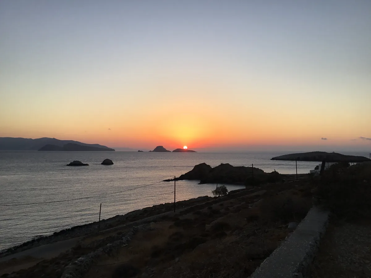
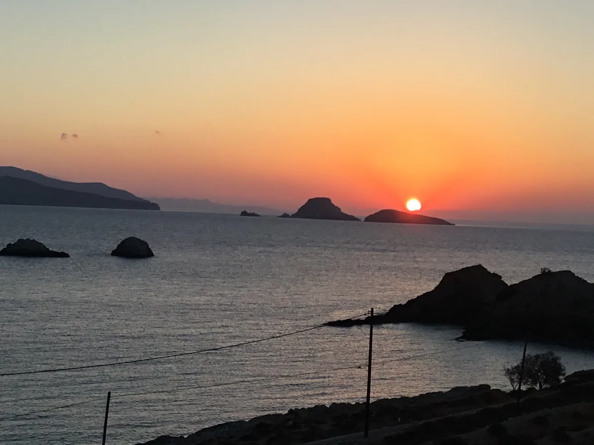
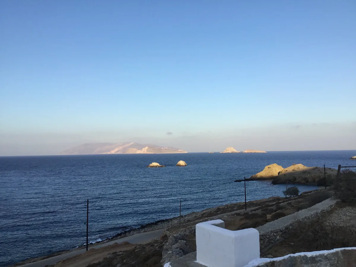
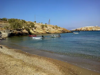
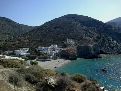
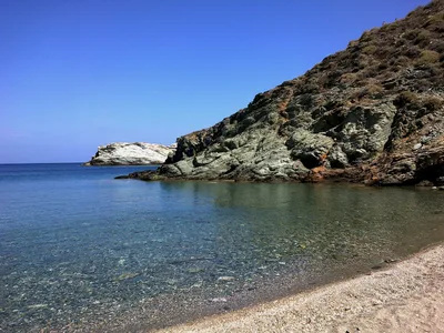
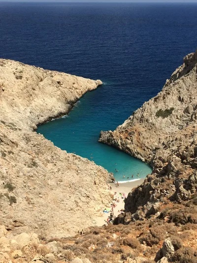
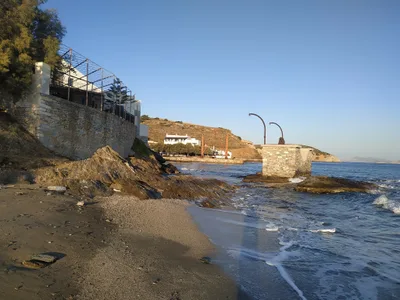
is a tiny, remote pebble cove on the north coast of Folegandros, carrying a local family name that appears on no signpost and almost no map. The beach is compact and entirely wild — no facilities, no shade, no infrastructure of any kind. Above it, abandoned terraced farmland climbs the hillside, a quiet testament to the island's agricultural past. The water is a deep, open blue, and the inlet mouth is framed by eroded volcanic rock that gives the cove its raw, elemental character. You'll share it with almost nobody.
How to get there
The only way in is on foot — there is no road and no parking of any kind. Hike from the Karavostasis port area; expect roughly 40 minutes each way on an unmarked route with no trail signage. There is no entry fee, but the descent to the beach is completely unmarked and the terrain is unforgiving, so navigation skills and sturdy footwear are essential.
Who it's for
For couples
For couples who define a good day by effort rewarded with solitude, this is it — a genuinely empty cove reached only by a 40-minute hike, with dramatic volcanic rock and deep blue water and no one else around.
For families
The unmarked descent and complete lack of facilities make this a poor fit for young children or anyone who needs shade, water points, or easy exit — families are better served by Karavostasis waterfront, just 2 km away.
Our take
Feet in the sand, eyes on the screen
Be honest with yourself before you go: this beach asks something of you. The 40-minute hike on an unsigned trail in full Aegean sun is not a stroll, and the north-coast meltemi can turn the water rough without warning — swimming is rated moderate at best, and in July and August conditions deteriorate enough that the trip isn't worth it. Come in June or September, carry water, download an offline map, and accept that the reward is exactly the absence of everything: no facilities, no other visitors, no noise except wind and sea. The volcanic rock inlet and the deep blue water are genuinely striking, and the abandoned terraces above give the place a melancholy, end-of-the-world atmosphere that no developed beach can replicate. If that sounds like your kind of day, will deliver. If you need shade, a sunbed, or a taverna within reach, stay in Karavostasis.
What to do
After the hike in, the volcanic rock formations at the inlet mouth reward slow exploration and close-up photography. When you're ready for more, the Karavostasis waterfront is the natural base — a small port village with tavernas and the ferry landing, about 2 km away. Folegandros Chora, the medieval kastro village perched on a cliff, is worth the 5 km trip, and the Ano Meria Folklore Museum at 4 km offers a grounded look at traditional Cycladic farming life that feels especially relevant after walking past the abandoned terraces above this beach.
The eroded volcanic rock at the inlet mouth is the defining frame — shoot from the pebble shore looking outward to capture the raw geology against the deep blue water.
The terraced hillside above the beach, abandoned and overgrown, gives a striking contrast of human history and wild landscape that photographs well in raking morning light.
Where to eat
The closest option is Syrma, just 0.6 km from Karavostasis — a logical stop before or after the hike. Further afield, Chic and Eva's Garden are both around 3.4 km away, and Psaromiligkas at 5.6 km and Papalagi at 6.3 km round out your options on the island. Pack your own lunch for the beach itself; there is absolutely nothing on-site.
Where to stay
Vardia Bay Studios, just 0.6 km from Karavostasis, is the most convenient base for an early start on the hike. Solaris, Aspalathras White, and Ampelos Resort cluster around 3.2–3.3 km away and offer more comfort if you want to be closer to Chora. Anemomilos Apartments at 3.4 km is another solid option with easy access to the island's main amenities.
Photography
The eroded volcanic rock framing the inlet mouth is the standout shot — position yourself at water level in the early morning when the light is low and the blue water deepens in contrast. The abandoned terraced farmland above the beach, with the open sea behind it, makes a compelling wide landscape frame in the softer late-afternoon light.
Good to know
There is zero signage on the approach — carry offline maps and allow extra time, because getting lost on this north-coast hillside is a real risk. Bring all your own water and food; there is nothing on-site and no shade whatsoever, so sun exposure is relentless. The north coast is fully exposed to the summer meltemi, and in July and August those winds make swimming rough and the hike miserable in the heat — avoid those months. Dogs are welcome with no formal restriction, which suits the remote, off-grid spirit of the place.
Map
Nearby places
Vardia bay studios
Solaris
Aspalathras White
Ampelos resort
Anemomilos Apartments
Παραλία Βιτσεντζου
Things to see around Ano Meria
Karavostasis waterfront
Small port village with tavernas and ferry landing
Folegandros Chora
Medieval kastro village perched on a cliff
Ano Meria Folklore Museum
Small ethnographic museum documenting traditional Cycladic farming life
Frequently asked
The information on this page is provided for guidance only and may evolve. Access conditions, safety and infrastructure can change without notice. Always check official sources before traveling.
Nearest beaches
Other wild beaches in Greece
More beaches in Cyclades
Reviews of this beach
- No reviews yet, what a shame — leave yours and share your experience.