Anse Baleine BeachFrance Beach Guide
Wild, remote and worth every bump in the road
About
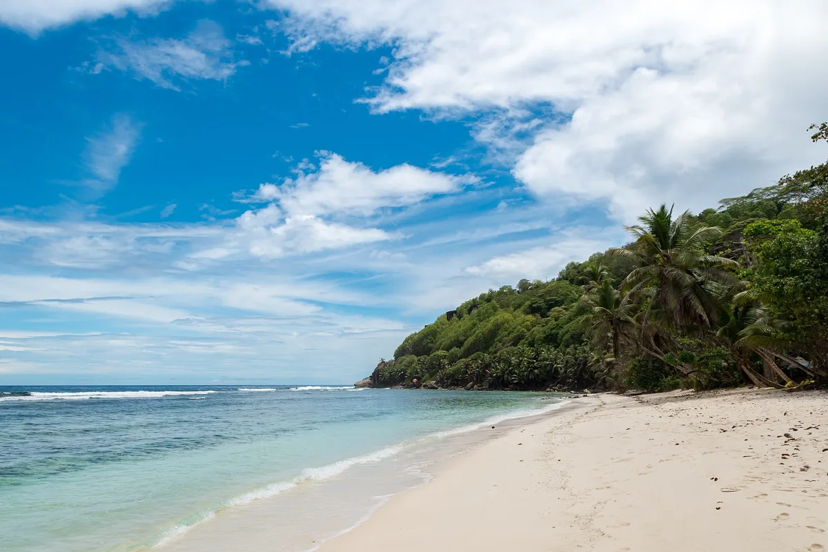
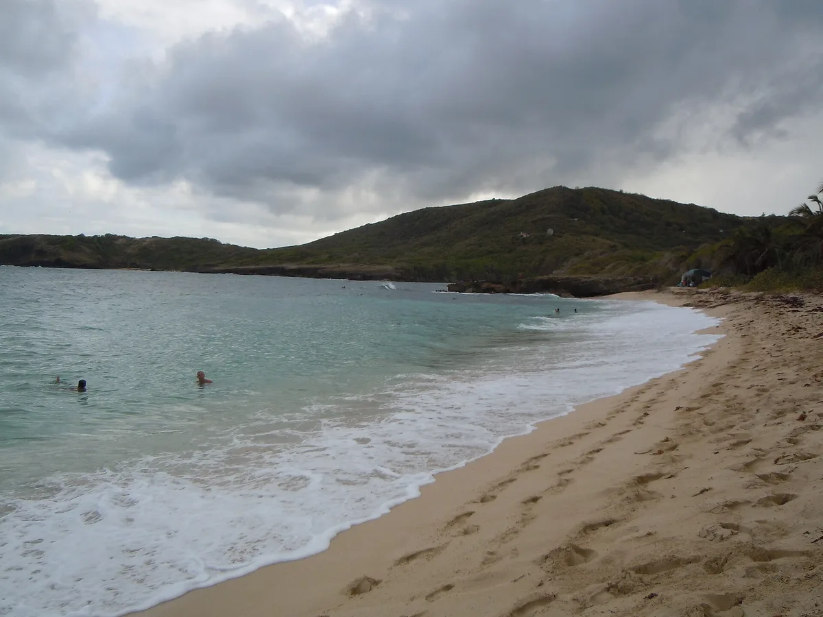
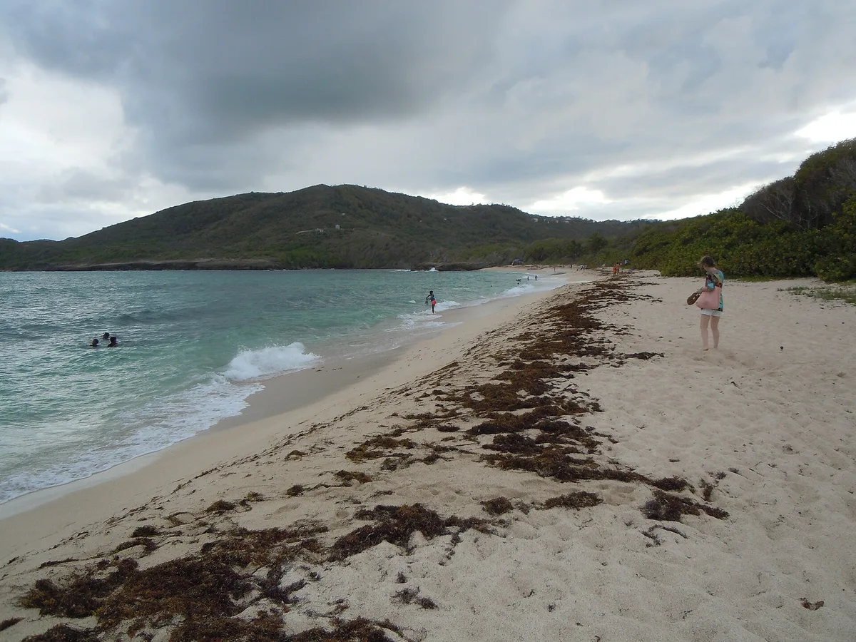
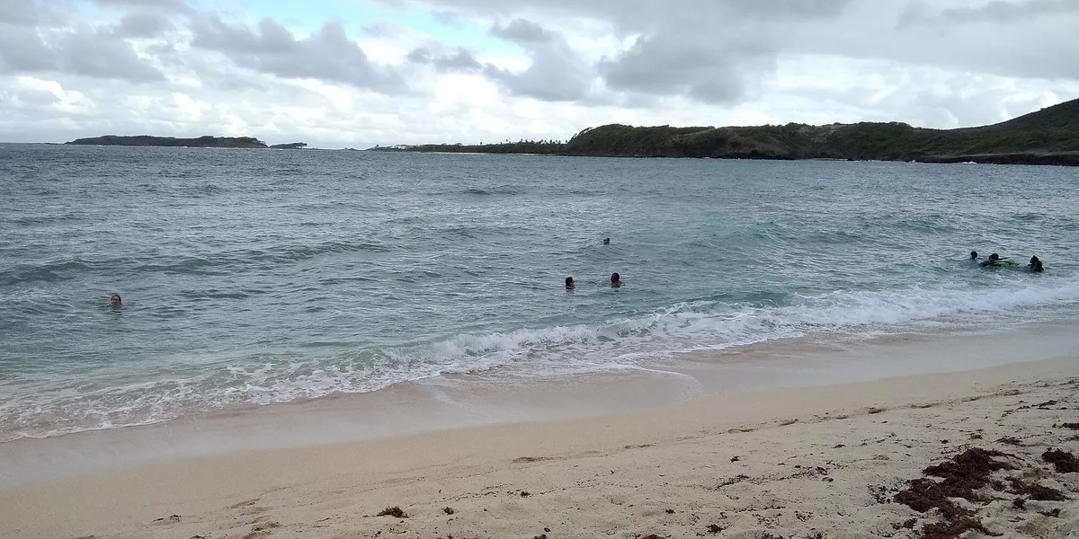
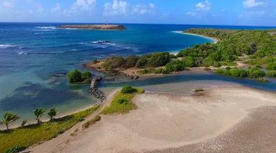
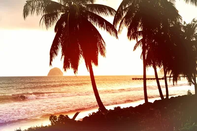
Anse Baleine sits at the southern tip of Martinique near Rivière-Pilote, a roughly 250-metre stretch of mixed sand and rock where the turquoise water meets a coast that feels genuinely untouched. The beach earns its wild reputation — access is rough, the road is in poor condition, and you'll likely have the whole place to yourself. That solitude is the point. The Trace des Caps hiking trail passes through here, threading along dramatic coastal scenery that connects Cap Macré to Cap Chevalier. It's raw, it's quiet, and it rewards the effort.
How to get there
Reach Anse Baleine by car via a narrow, partially paved road — expect a bumpy 10-minute drive on a track that is genuinely difficult to navigate. Unpaved parking is available near the beach, but the access road's poor condition means low-clearance vehicles will struggle. A ferry service via Les Vedettes Tropicales also serves the area if you prefer to arrive by sea. There is no entry fee.
Who it's for
For couples
Anse Baleine's near-guaranteed solitude makes it a genuinely private escape — turquoise water, a wild rocky shoreline, and no one else around. Pair it with a sunset hike along the Trace des Caps for a full day that feels nothing like a resort itinerary.
For families
The difficult access road and remote location make Anse Baleine a challenging choice for families with young children or anyone who needs reliable facilities nearby. Older kids who are confident hikers and comfortable with rugged conditions will find the Trace des Caps trail rewarding, but come fully self-sufficient.
Our take
Anse Baleine is not a beach you stumble onto — you have to want it. The road is rough, the facilities are nonexistent, and the remoteness is total. But that's exactly what makes it worth the effort for the right traveller. The turquoise water against a wild, rocky shore, the Trace des Caps trail threading along the coast, the silence — it all adds up to something that feels genuinely off the tourist map in a destination that can feel well-trodden. Come in the dry season between November and April, bring everything you need, and treat the difficult access as a filter rather than a deterrent. If you're after a manicured beach with a beach bar, this isn't it. If you want Martinique without the performance, this is one of the best arguments for it.
What to do
The Trace des Caps trail is the main draw beyond the beach itself — the Cap Macré to Cap Chevalier section starts right here and delivers varied coastal landscapes that justify the detour on their own. A short drive away, the Savane des Pétrifications (8.4km) is a geological oddity: a stretch of petrified wood embedded in a lunar-looking landscape near Sainte-Anne. Further afield, Habitation Clément (32.5km) combines a historic rum distillery with a botanical garden and art foundation — a full half-day in itself.
The elevated sections of the Trace des Caps trail give you a sweeping view back over the cove — turquoise water framed by rocky headlands with no one in the frame.
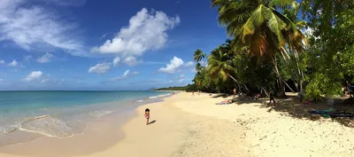
The shoreline itself, where dark rocks meet the mixed sand and the sea, rewards close-up compositions at low tide. Morning light is sharper and cleaner than afternoon haze.
Where to eat
You'll find no food or drink at Anse Baleine itself, so pack everything before you leave. Restaurant SNACK BOUBOU BOKITS, a local institution since 2006, is about 7.7km away and rates exceptionally well for a quick, satisfying meal. Le M (7.8km) is another solid option with over 1,100 reviews behind it — both make a good stop on your way back from the beach.
Where to stay
Club Med Les Boucaniers (7.5km, 4.3/5) is the closest full-resort option and a comfortable base for exploring the southern coast. For something more intimate, Domaine Des Bulles (11.6km) earns a 4.7/5 from nearly 250 reviews and offers a quieter, more personal stay. Pierre et Vacances Resort Sainte-Luce (12.7km) is a practical self-catering alternative if you're planning a longer stay in the area.
Photography
Arrive in the early morning when the turquoise water catches the low-angle light and the mixed sand-and-rock shoreline is at its most textured and dramatic. The Trace des Caps trail above the beach offers elevated vantage points looking back over the cove — the best wide compositions are found from the coastal path rather than the beach itself.
Good to know
The road to Anse Baleine is in poor condition — a high-clearance vehicle is strongly recommended, and you should turn back if conditions look impassable after rain. The remote location means no facilities, no phone signal to rely on, and no one nearby if something goes wrong, so come prepared with water, food, and a fully charged phone. Swimming is rated moderate — exercise caution, stay aware of your surroundings, and never swim alone at an isolated beach with no lifeguard. Avoid visiting in September and October, which fall squarely in hurricane season.
Map
Nearby places
Le M
La Kabananou
Case Coco
Restaurant SNACK BOUBOU BOKITS -depuis 2006-
Poivre et Sel
Club Med Les Boucaniers - Martinique
Pierre et Vacances Resort Sainte-Luce
Karibea Sainte-Luce Hotel
Domaine Des Bulles
Les Cayalines Résidence hôtelière
Le Jardin de la Montagne
Savanna of Petrifications
Plage de Sainte Luce
Trace des Caps (Cap Macré - Cap Chevalier section)
La Savane des Pétrifications
Habitation Clément
Things to see around Le Marin
Trace des Caps (Cap Macré - Cap Chevalier section)
Coastal hiking trail starting from Cap Macré parking; varied landscapes.
La Savane des Pétrifications
Geological site with petrified wood in Sainte-Anne.
Habitation Clément
Historic rum distillery, botanical garden, art foundation.
Frequently asked
The information on this page is provided for guidance only and may evolve. Access conditions, safety and infrastructure can change without notice. Always check official sources before traveling.
Nearest beaches
Reviews of this beach
- No reviews yet, what a shame — leave yours and share your experience.
Photo credits
Sources and licenses for the photos shown above.
- Photo 1 — dronepicr · source · CC BY 2.0
- Photo 2 — Patrice78500 · source · CC BY-SA 4.0
- Photo 3 — Patrice78500 · source · CC BY-SA 4.0
- Photo 4 — Patrice78500 · source · CC BY-SA 4.0