De Cocksdorp BeachNetherlands Beach Guide
Wild Wadden mudflats where tides rule and birds reign
About
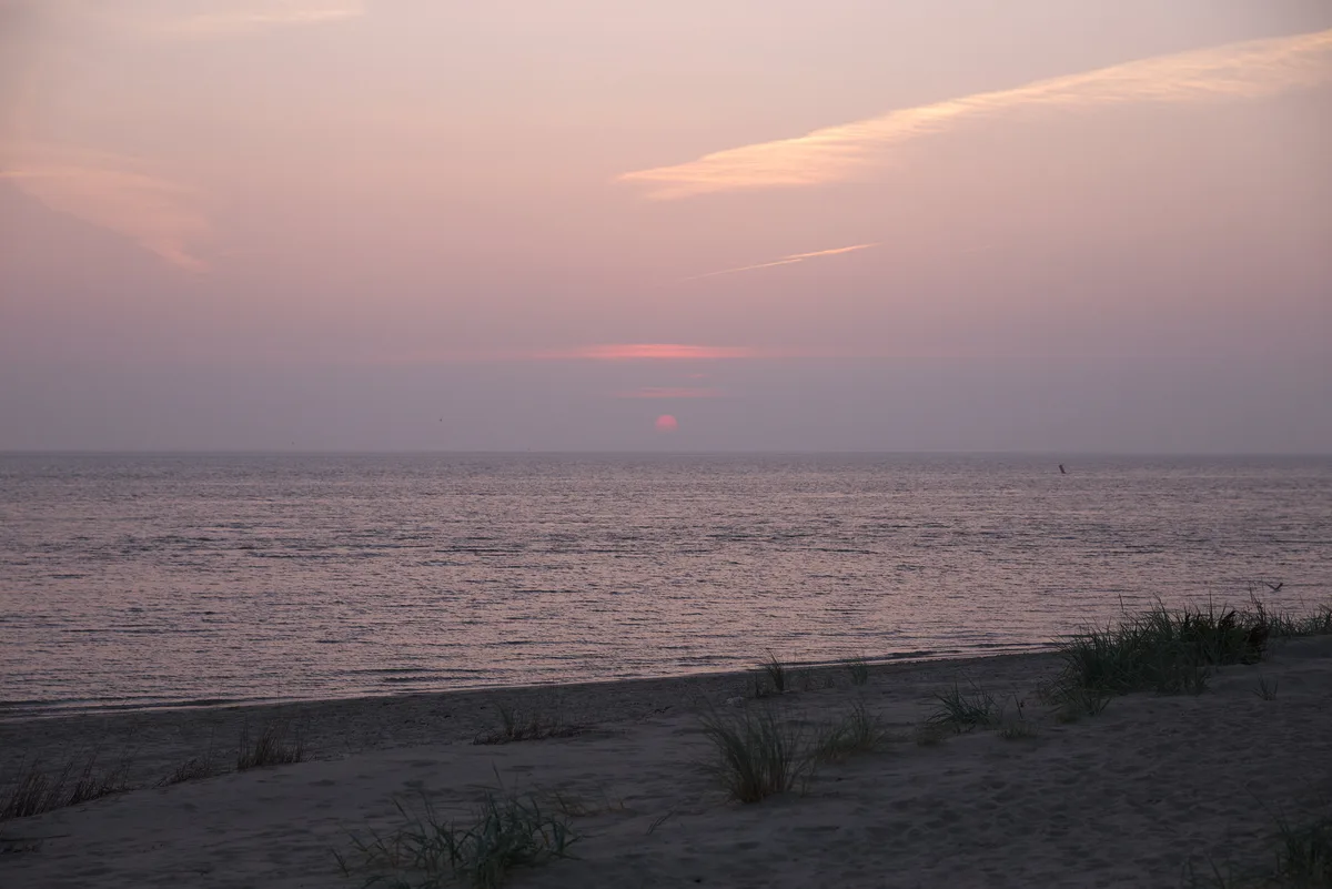
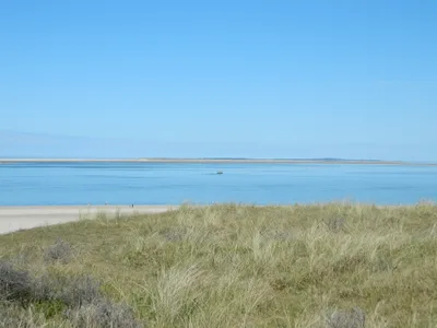
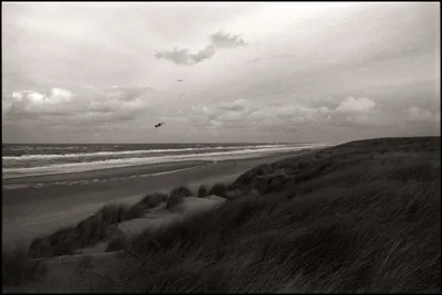
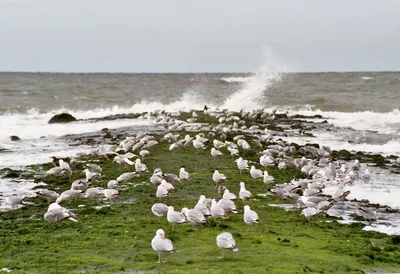
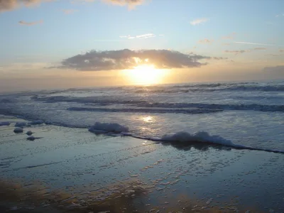
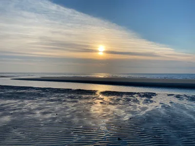
Waddenstrand De Cocksdorp stretches along the northern tip of Texel, the largest of the Dutch Wadden Islands, facing the UNESCO-protected Wadden Sea. The sand here is grey and the water runs brown with tidal sediment — this is no postcard beach, but a raw, working tidal landscape of extraordinary ecological importance. When the tide retreats, vast mudflats emerge, threaded with tidal channel markers and alive with the probing bills of wading birds. The air carries salt and wind, the horizon is wide and flat, and the silence between gusts is broken only by birdsong. It's wild in the truest sense — exposed, elemental, and completely unlike anything you'll find on a Mediterranean coast.
How to get there
Take the TESO ferry from Den Helder to Texel — the crossing takes around 20 minutes and runs daily. From De Cocksdorp village, the beach is just a 5-minute drive. Paid parking is available at the beach entrance; expect to pay €5 per hour, capped at €20 per day. A Texel-wide parking vignette is also available if you plan to explore the whole island.
Who it's for
For couples
Couples who want to walk somewhere genuinely remote and unhurried will find the long, quiet shoreline and big tidal skies more atmospheric than any busy resort beach. Pack a flask, time the low tide, and you'll likely have the mudflats almost to yourselves.
For families
Families with older children who are curious about nature will get a lot from the bird hides and a guided mudflat walk — but be clear with younger children that the water is completely off-limits due to dangerous currents. There's no playground infrastructure here; the beach rewards patience and curiosity over bucket-and-spade expectations.
Our take
Let's be direct: Waddenstrand De Cocksdorp is not a swimming beach, not a sunbathing beach, and not a place for watersports of any kind. The tidal currents are genuinely dangerous and the water is off-limits — full stop. What it is, however, is one of the most ecologically significant stretches of coastline in northern Europe, sitting inside a UNESCO World Heritage landscape that most visitors to the Netherlands never see. The grey sand, the brown tidal water, the vast mudflats emptying and filling with the rhythm of the North Sea — it's austere and compelling in equal measure. Come for the birds, come for the guided mudflat walks, come for the lighthouse and the dunes. Visit between June and September for the best conditions and the richest birdlife. Avoid December through February — it's cold, exposed, and the birds are largely gone.
What to do
The beach sits within easy reach of the Nationaal Park Duinen van Texel, about 2km away, where Texel's dune system offers excellent walking. Birdwatchers should head to the Renvogelveld bird hides — there's a viewing screen at 0.8km and a lookout point at 0.9km, both purpose-built for watching wading birds without disturbing them. De Robbenjager, just 0.3km from the beach, is worth a stop, and the historic Vuurtoren Eierland lighthouse at Texel's northern tip is a 4km trip that rewards with sweeping views across the Wadden Sea.
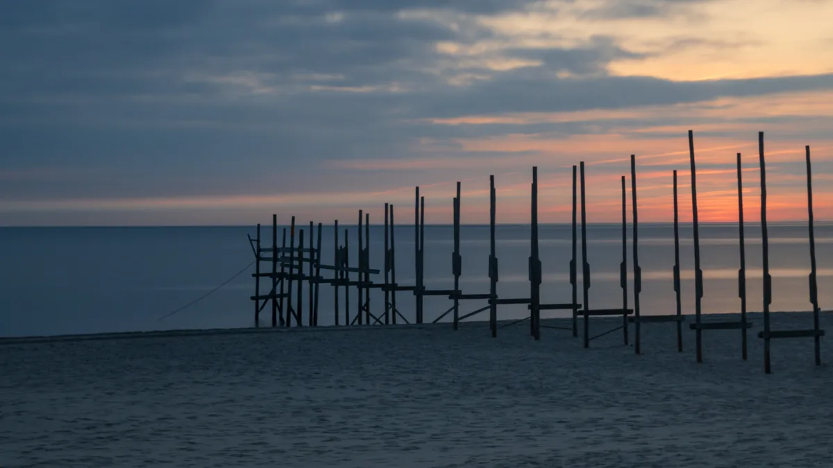
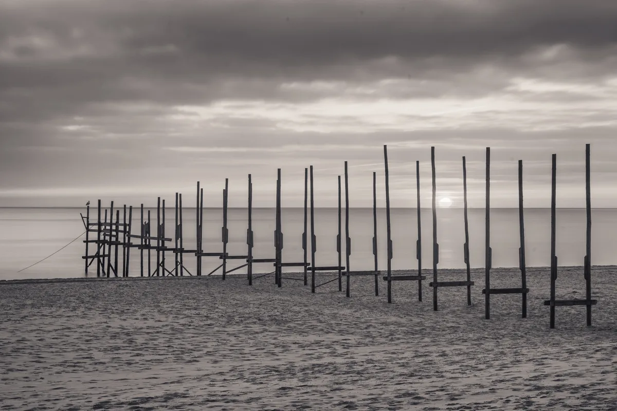
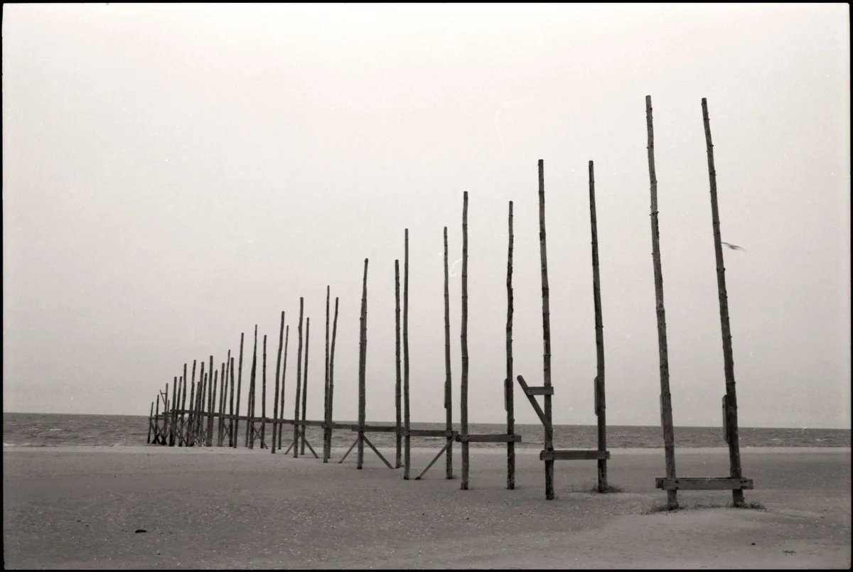
At low tide, position yourself along the exposed mudflats with tidal channel markers leading the eye toward the horizon — the contrast of grey sand, brown water, and vast sky is unlike anything in the Netherlands.
The Renvogelveld lookout point at 0.9km offers elevated views over the bird feeding grounds, especially rewarding during migration season when wading birds gather in numbers.
Where to eat
Paviljoen Kaap Noord is right at the beach — the closest option for a warm drink or a bite after a mudflat walk. Torenrestaurant is 1.1km away, with Faro Beach a little further at 1.3km. If you're willing to travel 2km into the area, La Isla and Eetcafé De Rog both offer further options.
Where to stay
Hotel het Anker van Texel and Herberg de Aanleg are the closest bases, both within about 2.2km of the beach and well-placed for early-morning birdwatching. Molenbos at 2.7km offers another option, while Boutique Hotel Texel and Duinhotel Texel suit those who prefer to be closer to the island's broader amenities.
Photography
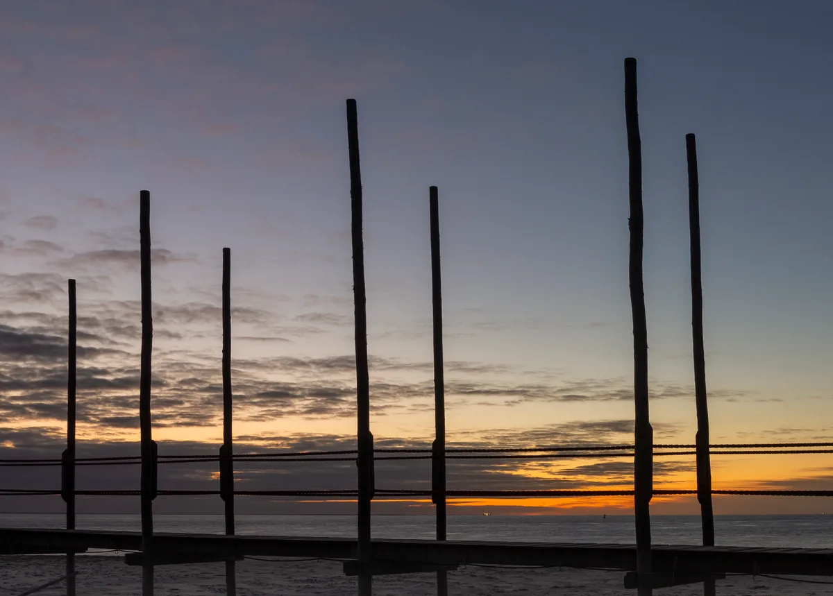
Shoot at low tide when the mudflats are fully exposed and tidal channel markers recede into the brown water — the geometry of the channels against the grey sand is striking at golden hour. The Vuurtoren Eierland lighthouse, 4km north, makes a strong foreground subject with wide Wadden Sea skies behind it.
Good to know
Do NOT enter the water under any circumstances — tidal currents here are extremely dangerous and swimming is strictly prohibited. If you want to walk the mudflats (wadlopen), go only with a certified local guide who knows the tides; quicksand-like mud is a real hazard and the tide can return faster than you expect. Dogs are prohibited in this protected Wadden Sea zone, so leave them at your accommodation. Give feeding wading birds a wide berth — disturbing them is both harmful and against local rules.
Map
Nearby places
Paviljoen Kaap Noord
Torenrestaurant
Faro Beach
la Isla
Eetcafé De Rog
Hotel het Anker van Texel
Herberg de Aanleg
Molenbos
Boutique Hotel Texel
Duinhotel Texel
Vuurtoren Eierland
De Muy Nature Reserve
Nationaal Park Duinen van Texel
Things to see around Texel
Vuurtoren Eierland
Historic lighthouse at Texel's northern tip.
De Muy Nature Reserve
Wetland reserve important for spoonbills and wading birds.
Nationaal Park Duinen van Texel
National park covering Texel's dune system.
Frequently asked
The information on this page is provided for guidance only and may evolve. Access conditions, safety and infrastructure can change without notice. Always check official sources before traveling.
Nearest beaches
Reviews of this beach
- No reviews yet, what a shame — leave yours and share your experience.
Photo credits
Sources and licenses for the photos shown above.
- Photo 1 — johan wieland · source · CC BY-ND 2.0
- Photo 2 — johan wieland · source · CC BY-ND 2.0
- Photo 3 — johan wieland · source · CC BY-ND 2.0
- Photo 4 — JelleS · source · CC BY 2.0
- Photo 5 — Martijn vdS · source · CC BY 2.0