Gericke's Point BeachSouth Africa Beach Guide
Wild headland, rusted wreck, zero facilities — come prepared
About
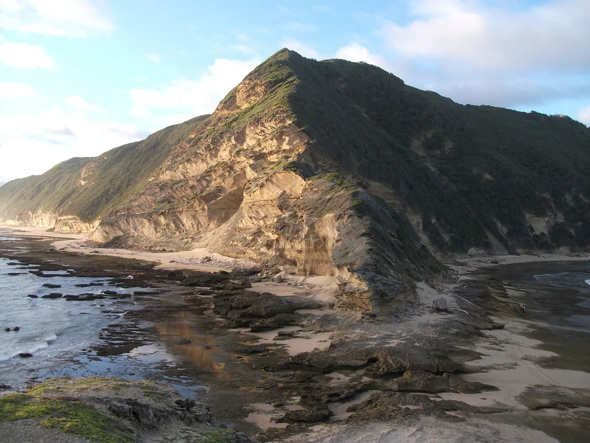
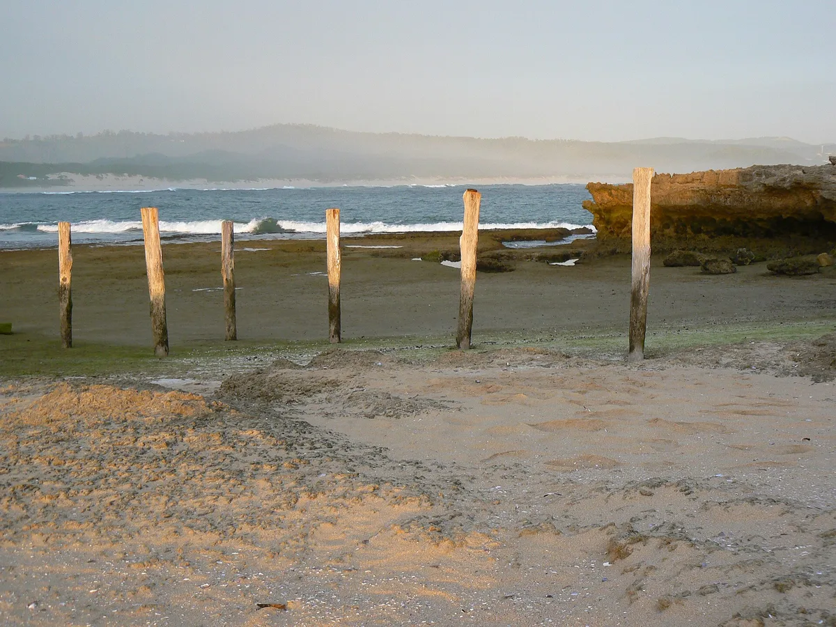
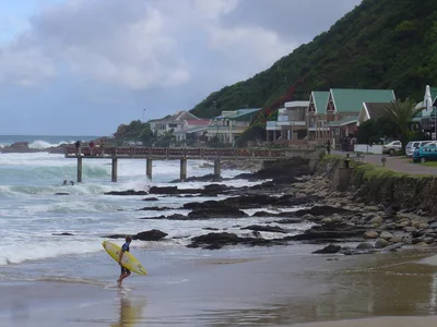
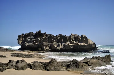
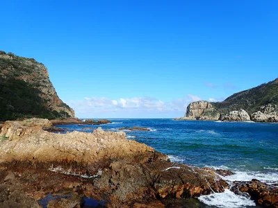
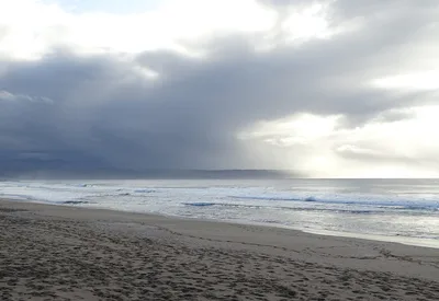
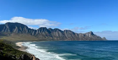
Gericke's Point is a raw, wind-scoured headland on the Garden Route where the Swartvlei lake drains into the open ocean. At low tide, a narrow strip of golden sand emerges between the rocks — blink and the tide reclaims it. The blue water here is deep and restless, churned by surge against the rocky shoreline. A rusted shipwreck sits hard on the rocks, salt-eaten and photogenic against the headland backdrop. Birdsong, crashing surf, and almost no other visitors: this is the Garden Route without the polish.
How to get there
From Sedgefield, Gericke's Point is roughly a 10-minute drive, with ferry access also available. There is no formal parking — plan for an informal roadside stop near the access path. No entry fee is charged. The access path floods at high tide, so tidal timing is non-negotiable: check tide tables before you leave and arrive only at low tide.
Who it's for
For couples
The isolation and wild scenery make it a compelling detour for couples who want somewhere genuinely quiet — but go in for the view and the wreck, not a swim, and plan your tide window together in advance.
For families
Not well suited to families with young children — the rocky path has no wheelchair access, there are no facilities, and the water is dangerous. Older children with solid footing and a clear understanding of tidal rules can manage the visit, but it demands preparation and close supervision near the rocks.
Our take
Do not come here expecting a beach day. Gericke's Point is a tidal headland that demands respect and planning — the access path floods, the water is dangerous, and there is nothing on-site to bail you out if something goes wrong. Get those logistics right, however, and what you find is genuinely striking: a rusted shipwreck slowly surrendering to the sea, a golden sand strip that exists only at the ocean's permission, and a headland so empty it feels like a private discovery. It's one of the more photogenic spots on the Garden Route precisely because it hasn't been smoothed out for visitors. Come in summer, check the tides, leave the swimming gear at home, and bring a camera.
What to do
The Sedgefield Slow Market, about 3km away, runs on Saturday mornings and is worth pairing with a low-tide visit to the point — local produce, crafts, and food stalls make for a good half-day. Sedgefield Beach, also around 3km out, offers a long exposed stretch near the Swartvlei lagoon mouth if you want more shoreline after the headland. Wilderness National Park, roughly 10km away, protects five river estuaries and a remarkable wetland system — a natural complement to the birding you'll find on the headland itself.
The shipwreck on the rocks is the standout frame — shoot wide to include the blue ocean and the headland's rough texture.
The low-tide sand strip where the Swartvlei lake outlet meets the sea offers a rare geometric shot of fresh water cutting across golden sand toward open ocean. The birding headland itself, with its elevated rocky profile, gives a strong landscape composition looking back toward the coastline.
Where to eat
Cape Oysters, about 3.2km away, is the obvious post-visit stop if you want something fitting for a coastal outing. Mojo Malt and Dumpling Den are both within 3.3km for a more relaxed sit-down after the walk. There is absolutely nothing to eat or drink at the beach itself, so pack provisions.
Where to stay
Lake Pleasant Hotel sits about 6.6km from the point and is the closest listed accommodation option — a practical base for timing your low-tide visit without a long morning drive.
Photography
The rusted shipwreck on the rocks is the headline shot — best framed at low tide with the blue ocean behind it and the headland as context. Early morning light from the east catches the golden sand strip and the wreck's oxidised hull cleanly; arrive at first light on a calm December or January day for the sharpest conditions.
Good to know
You must visit at low tide only — the access path floods when the tide rises, cutting off your return route. Do not enter the water: swimming is dangerous due to surge and submerged rocks, and no lifeguard is present. There are zero facilities of any kind, so bring water, food, sun protection, and a fully charged phone. Avoid June, July, and August entirely — winter swells make the headland rocks hazardous and the access path is frequently flooded during those months.
Map
Nearby places
Cape Oysters
Dumpling Den
Pranayum
Wimpy
Mojo Malt
Lake Pleasant Hotel
Things to see around George
Sedgefield Slow Market
Popular Saturday morning market with local produce, crafts, and food.
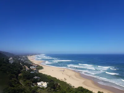
Sedgefield Beach
Long exposed surf beach with Swartvlei lagoon mouth nearby.
Wilderness National Park
Wetland and lake system protecting five river estuaries.
Frequently asked
The information on this page is provided for guidance only and may evolve. Access conditions, safety and infrastructure can change without notice. Always check official sources before traveling.
Nearest beaches
Other wild beaches in South Africa
Reviews of this beach
- No reviews yet, what a shame — leave yours and share your experience.