Semple Cay BeachSaint Vincent and the Grenadines Beach Guide
Wild golden cove where Bequia keeps its secrets
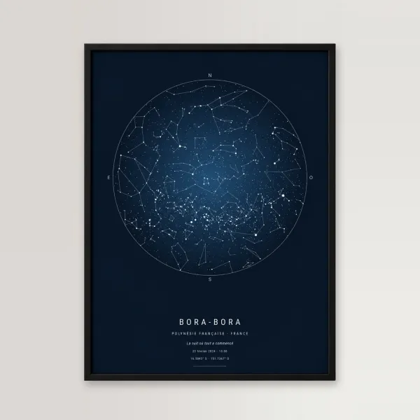
 🎁 Gift idea: the star map of your most beautiful night↓
About
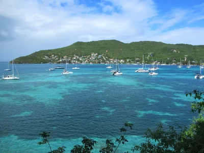
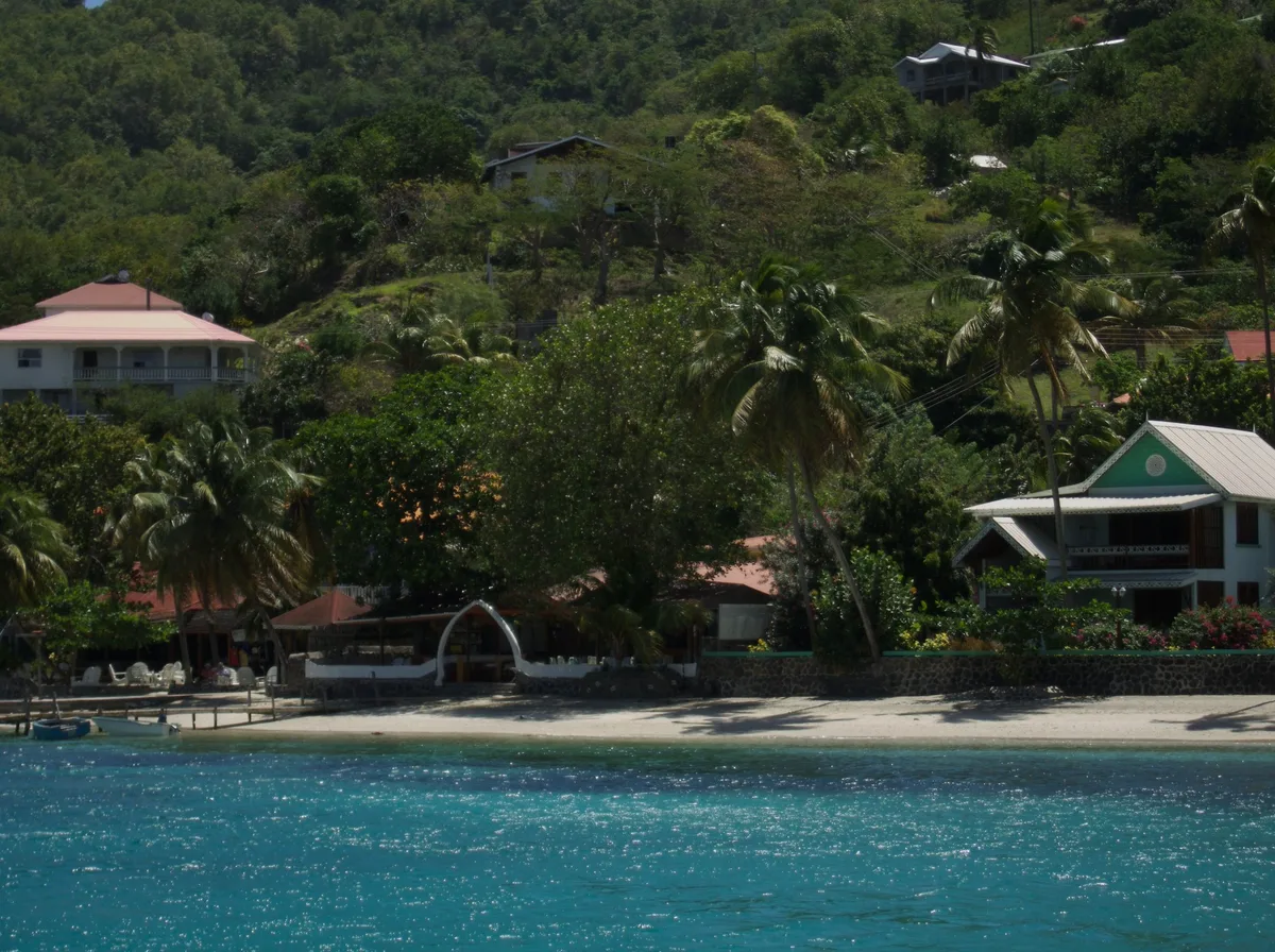
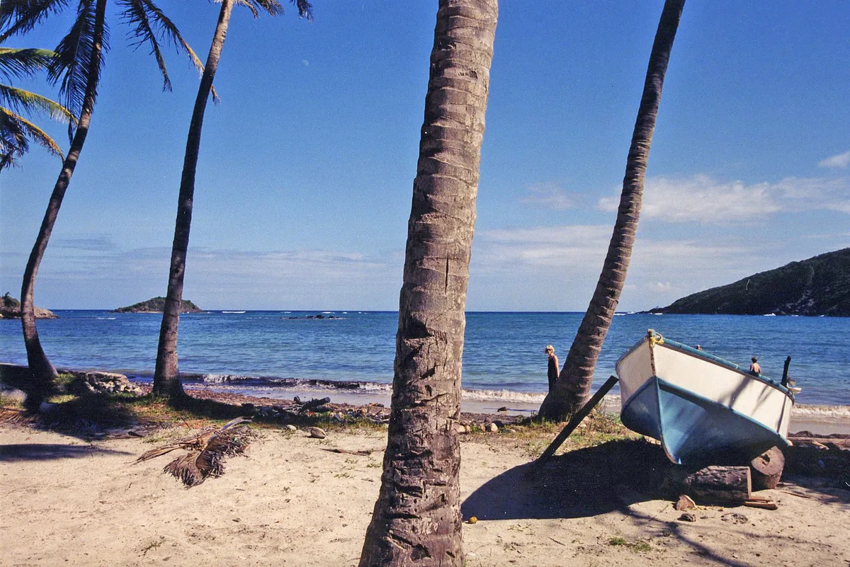
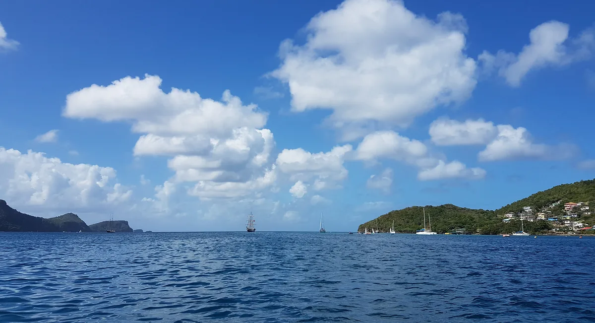
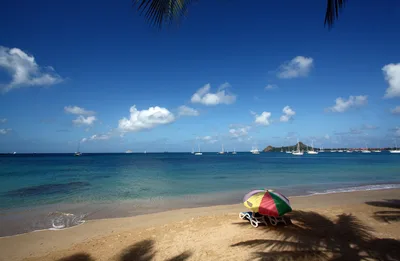
Semple Cay Beach is a north-facing cove on Bequia, Saint Vincent and the Grenadines, tucked close to the dramatic Devil's Table headland. Around 489 metres of golden sand meet crystal-clear water in a setting that sees minimal visitor traffic — on most days, you'll have it entirely to yourself. The wild vibe is real: no facilities, no lifeguard, no road access, just the sound of the Caribbean and the crunch of your boots on a rough coastal path. Rocky outcrops frame the cove and deliver excellent snorkeling, while the headland adds a raw, volcanic edge to every view.
How to get there
Semple Cay Beach is hike-only — leave your vehicle at the road above Devil's Table and follow the rough coastal path down, a walk of roughly 15 minutes. There is no formal parking area; vehicles are simply left roadside at the top. The path demands care and sturdy footwear. The nearest town is Port Elizabeth, and the primary gateway to Bequia is Argyle International Airport (SVD), about 20 km away.
Who it's for
For couples
The near-guaranteed solitude and wild setting make Semple Cay a genuinely private escape for two — golden sand, clear water, and no one else around is a combination that's hard to find anywhere on Bequia.
For families
Families with older, sure-footed children can enjoy the snorkeling and the sense of discovery here, but the rough path access and lack of any facilities or emergency services mean it is not suited to very young children or anyone who needs adapted access.
Our take
Be honest with yourself before you hike down: Semple Cay rewards the self-sufficient and penalises the unprepared. Currents around the Devil's Table headland are a real hazard — stay away from that zone in the water. With that said, if you pack out your waste, watch the path, and respect the sea, what you get in return is roughly 489 metres of golden sand and crystal-clear water with almost no one else on it. That kind of emptiness is increasingly rare in the Caribbean. Skip August, September, and October without hesitation. The rest of the dry season — November through April — is when this wild little cove is at its best.
What to do
The excellent snorkeling rocks just offshore are the main draw — crystal-clear water and a rocky cove floor make for rewarding underwater exploration. The Devil's Table, a flat-topped volcanic rock formation just 0.3 km away, is worth a close look from the shore, though its strong currents mean you should admire it from a safe distance rather than swim around it. When you're ready to stretch your legs further, Mount Peggy is 1.8 km away, and the Old Hegg Turtle Sanctuary — a worthwhile detour — sits about 3.8 km from the beach.
The elevated section of the rough path before the descent frames the entire golden cove against the Caribbean.
Down on the sand, position yourself with the Devil's Table headland in the background for a shot that captures the volcanic drama unique to this corner of Bequia.
Where to eat
After the hike back up, The Green Boley (0.4 km) and Gingerbread (0.5 km) are your closest options for a meal. A little further along, the Frangipani Beach Bar & Restaurant, Whale Boner, and the Porthole Restaurant (caribbean) are all within 0.7 km — a short walk or quick ride from the trailhead. Pack your own water and snacks for the beach itself; there is nothing on-site.
Where to stay
A Shade of Blues is the closest place to rest your head, just 0.1 km from the beach access point, followed by Bequia Plantation Hotel at 0.2 km. For more options, The Village Apartments (0.4 km), Gingerbread Hotel (0.5 km), and The Frangipani Hotel (0.6 km) all put you within easy reach of the trailhead.
Photography
The Devil's Table headland frames the golden sand against crystal-clear water, making the shoreline a natural subject. For a wider composition, the rough path on the way down offers elevated views over the entire north-facing cove with minimal human presence in frame.
Good to know
There are zero facilities here — pack out every piece of waste you bring in, no exceptions. The path down is rough; take it slowly, especially after rain. Currents are possible around the Devil's Table headland, so stay well clear of that zone when swimming and never underestimate the pull. There is no lifeguard and no emergency services on site, so go with a companion if you can, and avoid the beach entirely during August, September, and October when hurricane-season seas and path hazards both increase.
GAMES
🕹️ Five minutes of sand?
Three daily games — including the UV simulator set to this beach.
Map
Nearby places
The Green Boley
Gingerbread
Frangipani Beach Bar & Restaurant
Whale Boner
Porthole Restaurant
A Shade of Blues
Bequia Plantation Hotel
The Village Apartments
Gingerbread Hotel
The Frangipani Hotel
Things to see around Port Elizabeth
Devil's Table
Flat-topped volcanic rock formation with excellent snorkeling and strong currents
Port Elizabeth Waterfront
Main town of Bequia with restaurants, shops, and the ferry terminal
Princess Margaret Beach
Bequia's iconic crescent beach
GIFT IDEA · MARCEL ET LES BLONDES
🎁 Give a moment, not a thing
What’s the occasion?
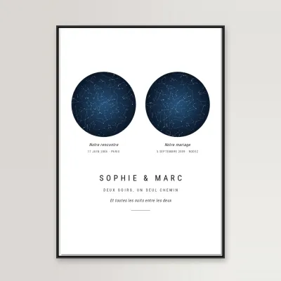 💑 Dating anniversaryTwo dates, two starry skies
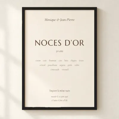 💍 Wedding anniversaryCotton, silver, golden…
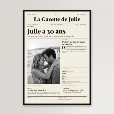 🎂 BirthdayTheir own newspaper front page
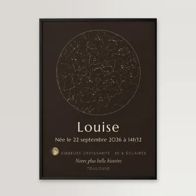 👶 New babyThe stars on the day they were bornValentine’s DayOur two moons, as a print
Shipping €5, free from €49 · made to order, shipped within 48 hAlso: our engraved wooden bracelets, €23.90 →
Frequently asked
The information on this page is provided for guidance only and may evolve. Access conditions, safety and infrastructure can change without notice. Always check official sources before traveling.
Nearest beaches
More beaches in Lesser Antilles
Reviews of this beach
- No reviews yet, what a shame — leave yours and share your experience.
Photo credits
Sources and licenses for the photos shown above.
- Photo 1 — David Stanley from Nanaimo, Canada · source · CC BY 2.0
- Photo 2 — Cowbell Solo · source · CC BY-SA 2.0
- Photo 3 — Cowbell Solo · source · CC BY-SA 2.0
- Photo 4 — David Broad · source · CC BY 3.0
- Photo 5 — size4riggerboots · source · CC BY-ND 2.0