Prickly Pear Island BeachBritish Virgin Islands Beach Guide
White sand, turquoise water, zero roads — boat only
About
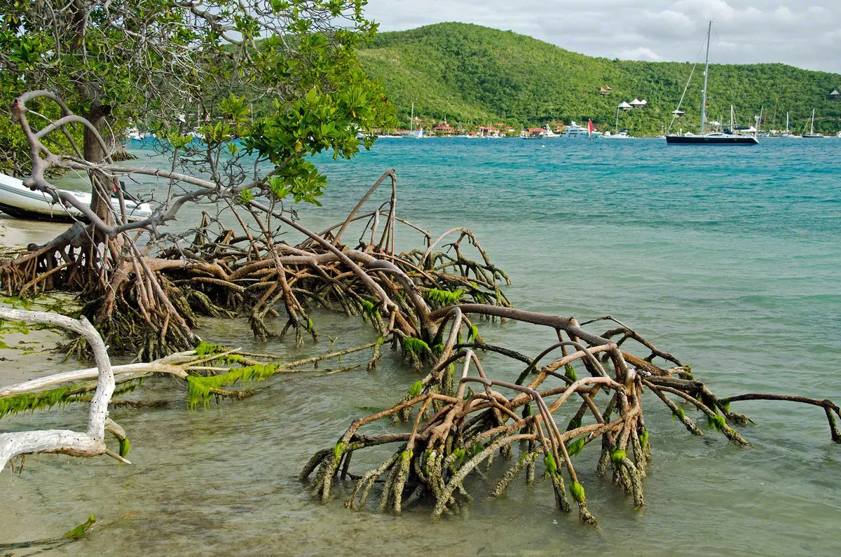
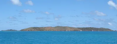
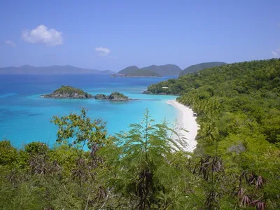
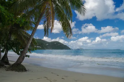
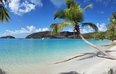
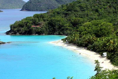
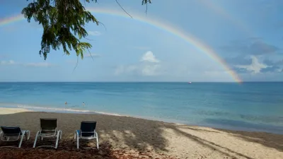
Prickly Pear Island Beach sits on an uninhabited island in North Sound, Virgin Gorda, British Virgin Islands — reachable only by water. White sand meets turquoise shallows in a setting that feels genuinely off-grid, yet the Sandbox beach bar and a steady sailing visitors keep the vibe lively rather than lonely. A sandbar formation adds a rare visual drama: shallow water stretching out in shifting ribbons of colour. visitors levels vary by zone, so you can find a quieter stretch or plant yourself near the action depending on your mood. It's a day-trip destination at its core — no overnight camping is permitted, and no one lives here.
How to get there
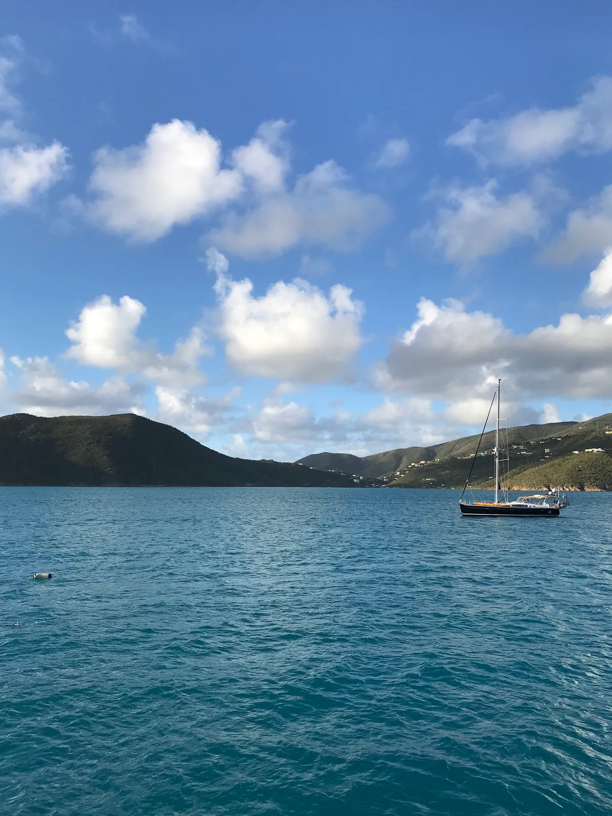
Prickly Pear Island Beach is boat-access only — there is no road, no bridge, and no way to drive here. Water taxis run from Leverick Bay, Virgin Gorda, roughly a 15-minute ride, and from Gun Creek, Virgin Gorda, just a 2-minute hop across the sound — both services are seasonal, so confirm availability before you plan. Arrive early on busy sailing days; North Sound is a well-known sailing hub and the anchorage fills up.
Who it's for
For couples
The combination of an uninhabited island, turquoise shallows, and a lively beach bar makes Prickly Pear a natural day-trip date — arrive early for the quiet, stay for the sail back through North Sound.
For families
Safe swimming conditions and the novelty of a boat-only arrival make this an adventure for kids, though families should note there are no accessible facilities on the beach and should plan supplies accordingly.
Our take
Rip currents can occur near reefs here — swim parallel to shore if you feel one, and always check local authority warnings before entering the water. That safety note aside, Prickly Pear Island Beach delivers something genuinely rare: an uninhabited island with white sand, turquoise water, a sandbar, and a beach bar, all within a 15-minute boat ride from Virgin Gorda. The lively North Sound sailing visitors gives it energy without turning it into a resort beach. Skip August, September, and October — hurricane season is real, water taxi services may be suspended, and the risk simply isn't worth it. Come between November and April for the dry season at its best. It's a day trip, not an overnight — no camping is allowed — so plan your departure before the last water taxi leaves.
What to do
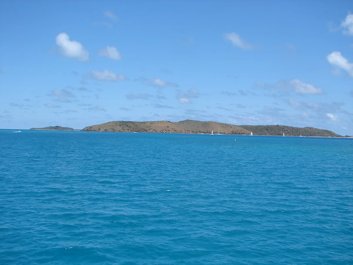
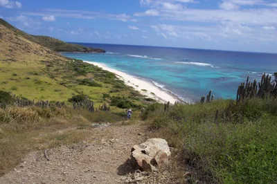
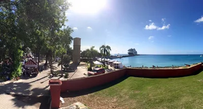
North Sound Harbour, just 0.6 km away, is the beating heart of sailing activity in this corner of the BVI — watching the boats come and go is a pastime in itself. A short distance across the water, Saba Rock offers a bar and restaurant on a tiny rock island that has become a North Sound institution, worth a stop on your way back. Eustatia Island, about 4 km out, is an uninhabited island with a pristine reef wall on its eastern side for those keen to explore further. The Moskito Island Viewpoint, 2.3 km away, rewards the curious with a broader perspective over the sound.
The sandbar formation is the signature frame — stand at the tip where the white sand dissolves into turquoise water for a shot that looks almost aerial even at ground level.
The view from the beach back across North Sound, dotted with sailing masts, gives a second strong composition. Catch both in the morning light before the day-trippers arrive for the cleanest, least busy images.
Where to eat
On the island itself, the Sandbox beach bar is the on-site option — though you should verify its current status locally before counting on it. Back on Virgin Gorda, The Restaurant at Leverick Bay, Jumbies Beach Bar (known for pizza, chicken wings, and salads), and The Cove (serving pizza, burgers, fish and chicken burgers, and home-made roti) are all around 2.1 km from the departure point. Bringing your own snacks and water as backup is always a smart move on a boat-only day trip.
Where to stay
The closest options cluster around North Sound: Bitter End Yacht Club and Saba Rock Resort are both approximately 1 km away, while Biras Creek Resort sits about 1.6 km out. Leverick Bay Resort & Marina, around 2 km away, is a practical base given it's one of the main departure points for the island. For something extraordinary, Necker Island lies roughly 2.9 km away.
Photography
The sandbar formation is the headline shot — shoot it from the water's edge at low angle during the soft morning light before the sailing visitors arrives. The turquoise water against the white sand also frames beautifully looking back toward the North Sound anchorage, with masts and hulls adding depth to the background.
Good to know
Respect the uninhabited island environment — pack out everything you bring in, and note that overnight camping is strictly prohibited. Rip currents can occur near reefs; if you feel one pulling you, swim parallel to the shore rather than fighting it directly. Hurricane season runs from June 1st to November 30th, and water taxi services may be suspended during August, September, and October — plan accordingly. Always follow local authorities' instructions regarding coastal water conditions, as conditions can change quickly.
Map
Nearby places
Bitter End Yacht Club
Saba Rock Resort
Biras Creek Resort
Leverick Bay Resort & Marina
Necker Island
North Sound Harbour
Moskito Island Viewpoint
Things to see around North Sound
Leverick Bay
Marina beach and resort serving as the main departure point for North Sound day trips.
Eustatia Island
Uninhabited island with pristine reef wall on its eastern side.
Saba Rock
Tiny rock island with a bar and restaurant, a North Sound institution.
Frequently asked
The information on this page is provided for guidance only and may evolve. Access conditions, safety and infrastructure can change without notice. Always check official sources before traveling.
Nearest beaches
More beaches in Virgin Islands
Reviews of this beach
- No reviews yet, what a shame — leave yours and share your experience.
Photo credits
Sources and licenses for the photos shown above.
- Photo 1 — SV Zanshin · source · CC BY-SA 3.0
- Photo 2 — Christine Rondeau · source · CC BY 2.0
- Photo 3 — Christine Rondeau · source · CC BY 2.0
- Photo 4 — --Legis (talk - contribs) · source · Public Domain
- Photo 5 — derivative work: Commander Keane (talk) Prickly_Pear_Island,_BVI.JPG: --Legis… · source · Public Domain