Sámara BeachCosta Rica Beach Guide
Calm turquoise waters and reef-sheltered sands for all
 🎁 Gift idea: the star map of your most beautiful night↓
About
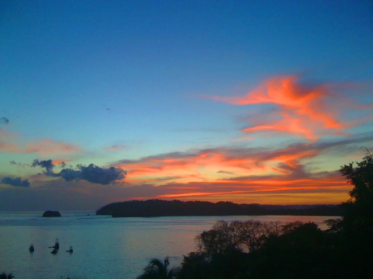
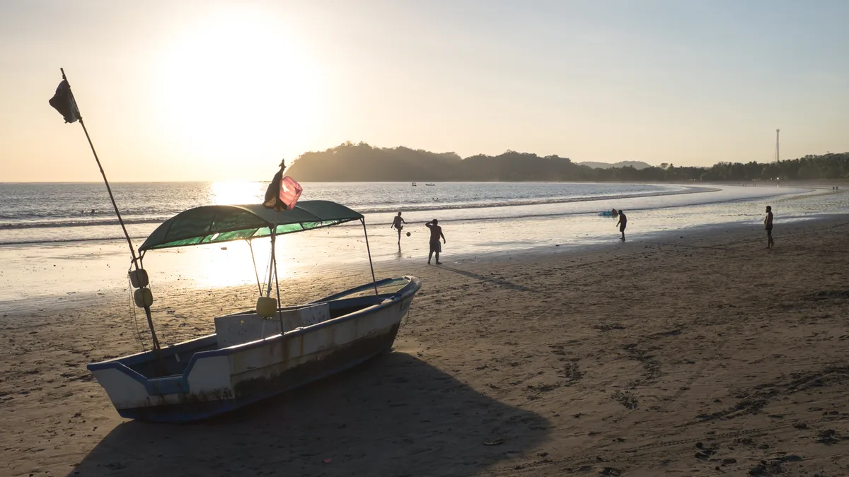
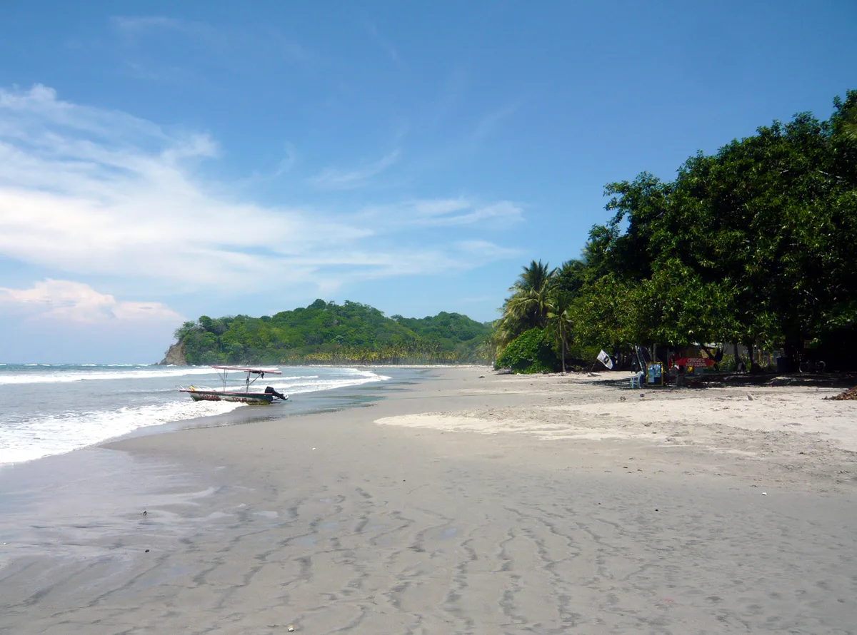
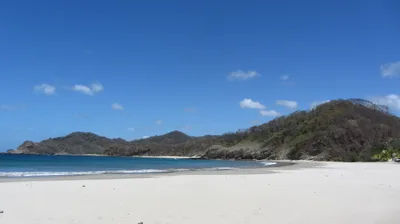
Playa Sámara stretches for roughly 3 kilometres along the Pacific coast of Guanacaste, Costa Rica, curving in a wide arc of mixed sand that catches the afternoon light in warm, honeyed tones. The water runs a clear turquoise, kept gentle by a reef that breaks the open-ocean swell before it reaches shore. Isla Chora sits just offshore, giving the bay its sheltered character and adding a focal point to every seaward view. The village of Sámara sits right alongside, so restaurants, lodging, and life are all within easy walking distance of the waterline. It's a family-oriented beach with a relaxed, unhurried rhythm.
How to get there
From Liberia International Airport (LIR), the drive or shuttle takes around 150 minutes daily. From San José (SJO), expect roughly 240 minutes by car or shuttle, or about 300 minutes on the daily bus; a bus from Nicoya is a quicker option at around 90 minutes. Street parking is available in the town of Sámara, with some private lots also on hand — a mixed setup that works well enough outside peak season.
Who it's for
For couples
The sheltered bay and calm turquoise water make for easy, unhurried afternoons — kayak out toward Isla Chora together, then walk the full length of the 3-kilometre beach as the light fades. It's low-key and genuinely peaceful without being remote.
For families
The reef-protected, safe swimming water is the headline here for families — young children can wade and splash without the anxiety of heavy surf. Restaurants and accommodation are all within a short walk, so logistics stay simple even with little ones in tow.
Our take
Playa Sámara is safe to swim, reef-sheltered, and genuinely suited to families and anyone who wants calm water without drama. The 3-kilometre stretch of mixed sand is long enough that you can always find a quieter patch, even when the village is busy. Snorkelling and kayaking are the activities that make the most of what the bay naturally offers — the reef and Isla Chora do the work for you. Come in the dry season between November and April for the best swimming conditions and clearest skies. If you're driving from Liberia, the 150-minute journey is straightforward and well worth it.
What to do
The reef protection that keeps the water calm also makes snorkelling and kayaking the natural choices here — both are well suited to the bay's conditions. Isla Chora, visible from the shore, is a draw for paddlers and snorkellers wanting to explore beyond the main beach. A short drive of about 4.2 km brings you to Mirador de Carrillo, a viewpoint worth the detour for its elevated perspective over the coastline. For a longer excursion, the vista at Islita lies about 14.4 km away and rewards the journey.
The shoreline looking out toward Isla Chora is the signature shot — frame the island between the arc of mixed sand and turquoise water at golden hour.
The elevated viewpoint at Mirador de Carrillo, 4.2 km away, delivers a wide coastal panorama that puts the full scale of the bay into perspective.
Where to eat
Restaurante Sol Azteca and Las Palmitas are both within 0.2 km of the beach — close enough to duck in for lunch without losing your spot on the sand. Bahía is a short 0.5 km walk, while Restaurant Locanda, known for regional cooking, sits about 0.7 km away. Bar Rest el Ancla rounds out the options at 0.8 km, handy for a cold drink at the end of the afternoon.
Where to stay
Hotel Fenix is the closest option to the water at just 0.2 km, making early-morning beach access effortless. La Casa del Sol, Cabinas Casa Esmeralda, Pension Playa Samara, and Cabinas Villa Kunterbunt are all within 0.9 km — a walkable cluster with varied options. You won't need a car to reach the beach from any of them.
Photography
The best light falls in the early morning, when the turquoise water is glassy and Isla Chora sits quietly on the horizon — position yourself at the water's edge for a clean foreground-to-island composition. Late afternoon from the Mirador de Carrillo, 4.2 km away, gives you an elevated sweep of the entire bay with the mixed sand catching warm directional light.
Good to know
The reef protection makes swimming safe here, but always check local conditions before entering the water — conditions can shift seasonally. The dry season runs November through April, bringing calmer seas and clearer skies; the wet season from May through October brings lush green surroundings but also heavier rain and choppier water. Parking fills up during the dry-season peak, so arriving early in the morning gives you the best pick of street spots. If you need to get online between beach sessions, Roots Bakery & Cafe is about 1.1 km from the water and is the nearest laptop-friendly option in the area.
GAMES
🕹️ Five minutes of sand?
Three daily games — including the UV simulator set to this beach.
Map
Nearby places
Restaurante Sol Azteca
Las Palmitas
Bahía
Restaurant Locanda
Bar Rest el Ancla
Hotel Fenix
La Casa del Sol
Cabinas Casa Esmeralda
Pension Playa Samara
Cabinas Villa Kunterbunt
Mirador de Carrillo
vista a Islita
GIFT IDEA · MARCEL ET LES BLONDES
🎁 Give a moment, not a thing

What’s the occasion?

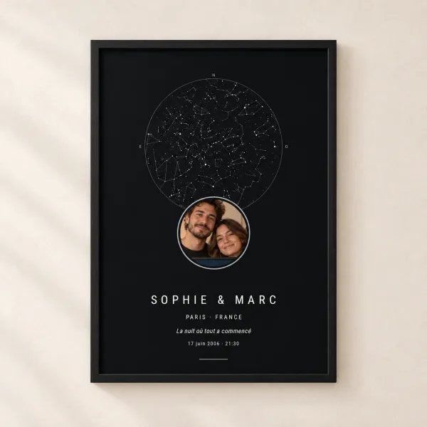
 💑 Dating anniversaryTwo dates, two starry skies
 💍 Wedding anniversaryCotton, silver, golden…
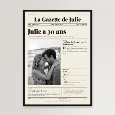 🎂 BirthdayTheir own newspaper front page
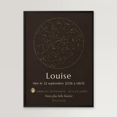 👶 New babyThe stars on the day they were bornValentine’s DayOur two moons, as a print
Shipping €5, free from €49 · made to order, shipped within 48 hAlso: our engraved wooden bracelets, €23.90 →
Frequently asked
The information on this page is provided for guidance only and may evolve. Access conditions, safety and infrastructure can change without notice. Always check official sources before traveling.
Other beaches in the region
More beaches in Central American Pacific
Reviews of this beach
- No reviews yet, what a shame — leave yours and share your experience.
Photo credits
Sources and licenses for the photos shown above.
- Photo 1 — Jackiemora01 · source · CC BY-SA 3.0
- Photo 2 — Christopher Crouzet · source · CC BY 2.0
- Photo 3 — cbonsig · source · CC BY-SA 2.0
- Photo 4 — cbonsig · source · CC BY-SA 2.0
- Photo 5 — Haakon S · source · CC BY-SA 3.0